
Ontario
Description
Map

Trails in this state
- Avon TrailGPX
- Bruce TrailGPX
- Cataraqui Trail
- Central Ontario Loop Trail
- Chrysler Canada Greenway
- Elgin Hiking Trail
- Elora Cataract TrailwayGPX
- Ganaraska Hiking TrailGPX
- Grand Valley TrailGPX
- Greater Niagara Circle Route
- La Cloche Silhouette TrailGPX
- National Hiking Trail of Canada
- Niagara River Recreation Trail
- Oak Ridges TrailGPX
- Ottowa-Temiskaming Highland Trail
- Park to Park TrailGPX
- Rideau TrailGPX
- Thames Valley TrailGPX
- Trans Canada TrailGPX
- Voyageur Trail
- Waterfront TrailGPX
- Welland Canals Trail
Links
Facts
Reports
Guides and maps
Lodging
Organisations
Tour operators
GPS
Other
Books

Stanfords
United Kingdom
United Kingdom
- DK Eyewitness Travel Guide Canada
- DK Eyewitness travel guides: award-winning guidebooksDiscover Canada with this essential travel guide, designed to help you create your own unique trip and to transport you to this incredible country before you`ve even packed your case - marvel at the magnificent thundering waterfalls of Niagara Falls, hike through spectacular scenery in Banff... Read more

The Book Depository
United Kingdom
United Kingdom
- The Best of The Great Trail
- British Columbia to Northern Ontario on the Trans Canada Trail Read more


The Book Depository
United Kingdom
United Kingdom
- The Great Himalaya Trail N3
- The Rara, Jumla & Mugu Section Read more


The Book Depository
United Kingdom
United Kingdom
- The Best of The Great Trail -- Volume 1
- Newfoundland to Southern Ontario on the Trans Canada Trail Read more
Bol.com
Netherlands
2017
Netherlands
2017
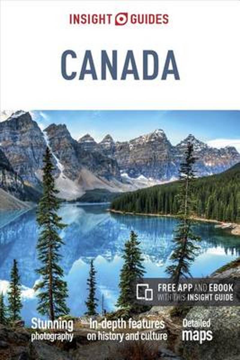
- Insight Guides Canada
- Natural wonders abound in Canada's many provinces, from polar bears in Manitoba to the thundering Niagara Falls in Ontario, skiing in Whistler, sprawling prairies and stunning national parks. Add to that fascinating insights into the culture of native peoples such as the Inuit and M�tis, the history of French Canada and bustling world-class... Read more
- Also available from:
- Bol.com, Belgium
Bol.com
Belgium
2017
Belgium
2017
- Insight Guides Canada
- Natural wonders abound in Canada's many provinces, from polar bears in Manitoba to the thundering Niagara Falls in Ontario, skiing in Whistler, sprawling prairies and stunning national parks. Add to that fascinating insights into the culture of native peoples such as the Inuit and M�tis, the history of French Canada and bustling world-class... Read more
Bol.com
Netherlands
Netherlands
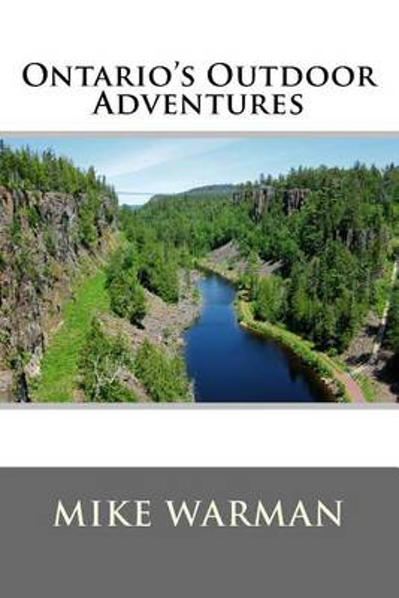
- Ontario's Outdoor Adventures Updated
- Ontario's Outdoor Adventures is an easy to read guide to some of the most incredible and exciting outdoor destinations in Ontario. At upwards of a million square kilometers and with over 300 provincial parks, Ontario is a vast and beautiful place offering countless opportunities to enjoy the great outdoors. You may be surprised to discover that... Read more
- Also available from:
- Bol.com, Belgium
Bol.com
Belgium
Belgium
- Ontario's Outdoor Adventures Updated
- Ontario's Outdoor Adventures is an easy to read guide to some of the most incredible and exciting outdoor destinations in Ontario. At upwards of a million square kilometers and with over 300 provincial parks, Ontario is a vast and beautiful place offering countless opportunities to enjoy the great outdoors. You may be surprised to discover that... Read more

The Book Depository
United Kingdom
United Kingdom
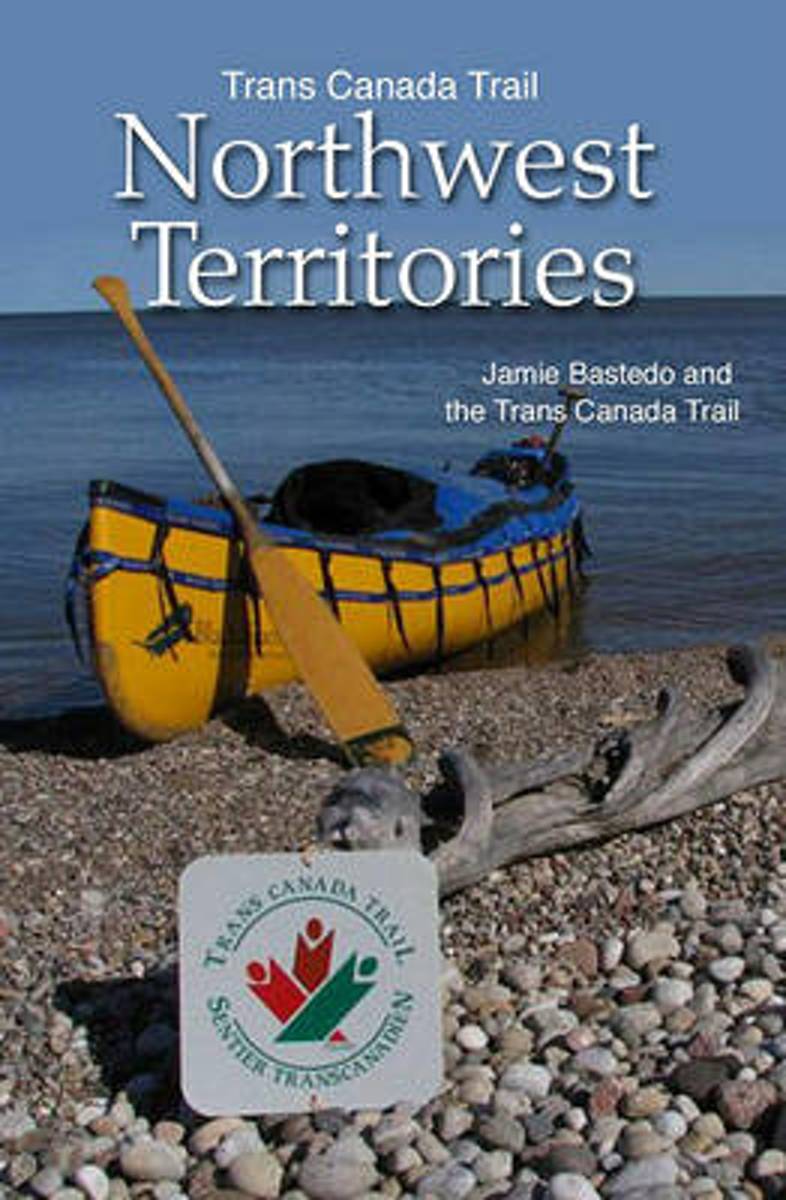
- Trans Canada Trail Northwest Territories
- Official Guide of the Trans Canada Trail Read more
- Also available from:
- Bol.com, Netherlands
- Bol.com, Belgium
Bol.com
Netherlands
Netherlands
- Trans Canada Trail Northwest Territories
- Much more than a guidebook, this natural and cultural feast takes you down the wildest, longest stretch of the Trans Canada Trail, from Alberta's far north to the Arctic Ocean. It provides all the nuts and bolts you'll need for your journey- whether on land or in an armchair- including detailed route maps, major landmarks, access points,... Read more
Bol.com
Belgium
Belgium
- Trans Canada Trail Northwest Territories
- Much more than a guidebook, this natural and cultural feast takes you down the wildest, longest stretch of the Trans Canada Trail, from Alberta's far north to the Arctic Ocean. It provides all the nuts and bolts you'll need for your journey- whether on land or in an armchair- including detailed route maps, major landmarks, access points,... Read more
De Zwerver
Netherlands
Netherlands
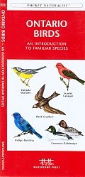
- Vogelgids - Natuurgids Ontario Birds | Waterford Press
- Ontario Birds is the perfect pocket-sized, folding guide for the bird lover and nature enthusiast. This beautifully illustrated guide highlights over 140 familiar species and includes a map featuring prominent province-wide birding hotspots. Laminated for durability, this handy guide is a great source of portable information and ideal for field... Read more
Bol.com
Netherlands
Netherlands
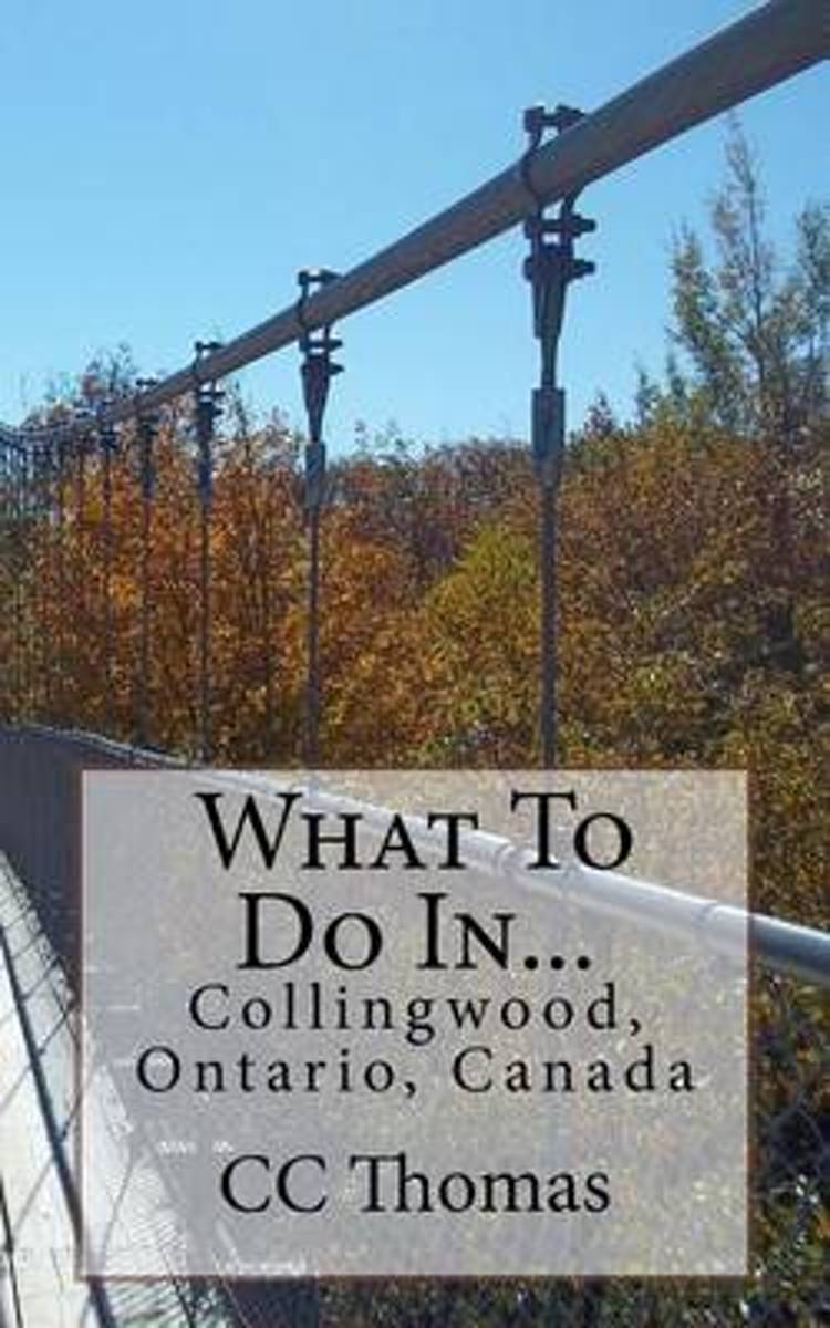
- What to Do In...Collingwood, Ontario, Canada
- When you finally make the time for a vacation, you don't have the time to waste searching through websites for things to do and places to eat. You don't have the time to waste on a bad meal or an activity no one will enjoy.On your next vacation, use this guide to Collingwood, Ontario, Canada to help you find some spots mostly off the beaten... Read more
- Also available from:
- Bol.com, Belgium
Bol.com
Belgium
Belgium
- What to Do In...Collingwood, Ontario, Canada
- When you finally make the time for a vacation, you don't have the time to waste searching through websites for things to do and places to eat. You don't have the time to waste on a bad meal or an activity no one will enjoy.On your next vacation, use this guide to Collingwood, Ontario, Canada to help you find some spots mostly off the beaten... Read more

- Also available from:
- Bol.com, Netherlands
- Bol.com, Belgium
Bol.com
Netherlands
Netherlands
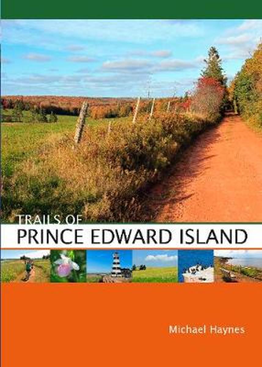
- Trails of Prince Edward Island
- This new guide features more than 50 trails for hiking and cycling on Prince Edward Island, Canada's own emerald isle, included in the book are new trails in Prince Edward Island National Park and the just-completed Confederation Trail, the final (or initial, depending on which way you're facing ) leg of the Trans-Canada Trail. Michael Haynes... Read more
Bol.com
Belgium
Belgium
- Trails of Prince Edward Island
- This new guide features more than 50 trails for hiking and cycling on Prince Edward Island, Canada's own emerald isle, included in the book are new trails in Prince Edward Island National Park and the just-completed Confederation Trail, the final (or initial, depending on which way you're facing ) leg of the Trans-Canada Trail. Michael Haynes... Read more
Bol.com
Netherlands
Netherlands
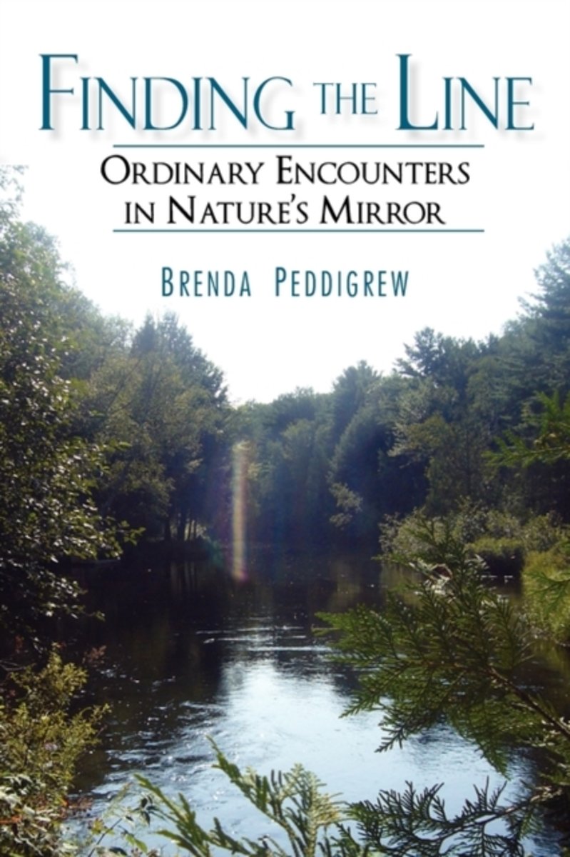
- Finding the Line
- With the eye of a naturalist and the pen of a philosopher, Brenda Peddigrew invites us to share the beauty of her home, which rests along the bank of the Little Kennissis River in the beautiful Algonquin Highlands of Ontario, Canada. She immerses us in the wonder of changing seasons, weather, and daylight through essays with titles like... Read more
- Also available from:
- Bol.com, Belgium
Bol.com
Belgium
Belgium
- Finding the Line
- With the eye of a naturalist and the pen of a philosopher, Brenda Peddigrew invites us to share the beauty of her home, which rests along the bank of the Little Kennissis River in the beautiful Algonquin Highlands of Ontario, Canada. She immerses us in the wonder of changing seasons, weather, and daylight through essays with titles like... Read more
Bol.com
Netherlands
Netherlands
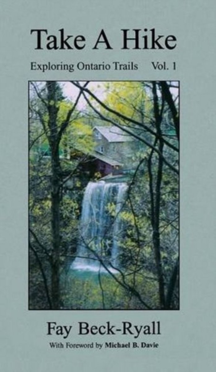
- Take a Hike
- Based on the author's popular hiking column for The Hamilton Spectator, this book explores trails in and around Ontario's Hamilton-Niagara area and beyond. It is filled with useful advice and tips on taking the trails. It provides directions to each trail, sight-seeing highlights and trail degree of difficulty. Read more
- Also available from:
- Bol.com, Belgium
Bol.com
Belgium
Belgium
- Take a Hike
- Based on the author's popular hiking column for The Hamilton Spectator, this book explores trails in and around Ontario's Hamilton-Niagara area and beyond. It is filled with useful advice and tips on taking the trails. It provides directions to each trail, sight-seeing highlights and trail degree of difficulty. Read more
Maps

Stanfords
United Kingdom
United Kingdom
- Peterborough - Lindsay
- Double-sided, indexed street plan of Peterborough (Ontario), including Cobourg, Havelock, Lakefield, Lindsay, Millwood, Norwood, and Port Hope. Street plans from the MapArt / Canadian Cartographics Corporation / JDM Géo publishing group are usually produced at scales around 1:25,000 to 1:35,000 with smaller towns often shown at more detailed... Read more

Stanfords
United Kingdom
United Kingdom
- Ontario Southwestern: Brantford - London - Kitchener/Waterloo - Bruce Peninsula
- The south-western part of Ontario on a detailed, double-sided road map at 1:250,000 extending from Lake Erie to Lake Huron and the Bruce Peninsula, with five street plans at 1:25,000 covering central London, Windsor, Sarnia, Owen Sound and Stratford.Coverage of the region is divided between the two sides of the map, with a good overlap between... Read more

Stanfords
United Kingdom
United Kingdom
- Ontario Northern and Cottage Country Street Atlas
- Street atlas of Northern Ontario and Cottage Country, including nBracebridge, Collingwood, Dryden, Elliot Lake, Espanola, Fort Frances, Geraldton, Hanover, Huntsville, Kincardine, Midland, North Bay, Orillia, Owen Sound, Penetanguishene, Port Elgin, Sault Ste. Marie, Southampton, Sudbury, Thunder Bay, Timmins, Walkerton, and Wasaga Beach. The... Read more

Stanfords
United Kingdom
United Kingdom
- Manitoba MapArt
- Indexed road map of Manitoba at 1:1,250,000 with an additional panel covering north-west Ontario with Lake Superior, plus Winnipeg and Brandon on more detailed road maps and plans of their downtown areas, and street plans of 10 more local towns. The whole province is shown at 1:1,250,000 on one side of the map. Topography is indicated by... Read more

Stanfords
United Kingdom
United Kingdom
- Kanchenjunga Region Great Himalaya Trail Map
- Kanchenjunga Region, map no. 101, at 1:100,000 on a waterproof and tear-resistant trekking map from the Himalayan MapHouse in their series covering the whole of northern Nepal. The map highlights main trekking routes from Taplejung, including Kanchenjunga Base Camp Trek, Yalung Base Camp Trek, Phathibhara Trek, the route along the Yangma Khola... Read more

Stanfords
United Kingdom
United Kingdom
- Ontario Western Street Atlas
- Street atlas of Western Ontario, inclding Amherstburg, Aylmer, Ayr, Belle River, Belmont, Blenheim, Blue Mountain, Brant, Brantford, and other locations. The atlas is part of an extensive coverage of Canadian cities and towns from the country’s largest map publisher, MapArt. The mapping is usually at 1:25,000 or 1:31,250. Colouring... Read more

Stanfords
United Kingdom
United Kingdom
- Ontario Northern FastTrack Map: North Bay - Sudbury - Thunder Bay - Lake of the Woods
- Waterproof and tear-resistant FastTrack map covering in a handy-size format the north-western part of Ontario, from North Bay and the border with Quebec to the province’s border with Manitoba, plus eight street maps of main cities and a distance table.On one side two panels present road maps. The main map at 1:1,930,000 covers the area from... Read more

Stanfords
United Kingdom
United Kingdom
- Rolwaling Region Great Himalaya Trail Map
- The Rolwaling, map no. 104, at 1:100,000 on a waterproof and tear-resistant trekking map from the Himalayan MapHouse in their series covering the whole of northern Nepal. The map highlights main trekking routes from Jiri, both north and south of the town, including the first sections of the Jiri/Everest and Jiri/Pikey Peak trails, the Numbur... Read more

Stanfords
United Kingdom
United Kingdom
- Niagara Region (Canada) FastTrack Map
- The Canadian side of the Niagara Falls region on an indexed, double-sided, waterproof and tear-resistant FastTrack map presenting the region on four panels. On one side are street plans of central Niagara Falls, including the border crossings and the adjoining part of the US side, plus Niagara-on-the-Lake (both at1:25,000). The downtown area of... Read more

Stanfords
United Kingdom
United Kingdom
- Kingston ON
- Kingston, Ontario on a double-sided map combining a street plan of Kingston at 1:25,000 with an enlargement of the downtown area, plus on the reverse individual street plans at 1:25,000 of Gananoque, Brockville, Prescott, Iroquois, Cardinal, Morrisburg and Cornwall with an extension to Long Sault Parkway. Each street plan is indexed.Street... Read more

Stanfords
United Kingdom
United Kingdom
- Toronto & Area MapArt Street Atlas
- Toronto and Area Street Atlas from the Canadian Cartographics Corporation covering the Toronto conurbation at 1:20,000, with A more detailed street plan of central Toronto, an extensive index of places of interest, plus regional road maps.The atlas covers an area along Lake Ontario from Hamilton and Burlington west of Toronto to beyond Oshawa... Read more

Stanfords
United Kingdom
United Kingdom
- Niagara Falls - Fort Erie - Niagara-on-the-Lake - Grand Island
- Double-sided, indexed street plan at 1:28,000 of Niagara Falls area on both sides of the Niagara River, in Canada and USA. Coverage extends north from Niagara Falls to Lake Ontario to include Niagara-on-the-Lake on the Canadian side plus Youngstown, Porter and Lewiston in USA. On the reverse coverage continues southwards to Lake Eire to cover... Read more

Stanfords
United Kingdom
United Kingdom
- Makalu Region Great Himalay Trail Map
- Makalu Region, map no. 102, at 1:100,000 on a waterproof and tear-resistant trekking map from the Himalayan MapHouse in their series covering the whole of northern Nepal. The map highlights main trekking routes from Tumlingtar northwards: the Makalu Base Camp Trek and the route to Kimathangka, a local route east of the town, plus the relevant... Read more

Stanfords
United Kingdom
United Kingdom
- Ontario MapArt Pocket Road Atlas
- Pocket road atlas of Ontario presenting the southern part of the province at 1:700,000 with the northern part at 1:1,500,000, plus enlargements showing in greater detail 25 municipal areas and downtown street plans for 21 locations, a map showing Highway Service Centres, etc..The atlas presents the southern part of the province at 1:700,000,... Read more

Stanfords
United Kingdom
United Kingdom
- Rolwaling Region Great Himalaya Trail Map SUPERCEDED
- The Rolwaling, map no. 104, at 1:100,000 on a waterproof and tear-resistant trekking map from the Himalayan MapHouse in their series covering the whole of northern Nepal. The map highlights main trekking routes from Jiri, both north and south of the town, including the first sections of the Jiri/Everest and Jiri/Pikey Peak trails, the Numbur... Read more