Ubaye
Description
Links
Facts
Reports
Guides and maps
Lodging
Organisations
Tour operators
GPS
Other
Books

Stanfords
United Kingdom
2019
United Kingdom
2019
- La Traversée des Alpes de la Maurienne a l`Ubaye GR5/GR56
- 9 days from Modane to Larche by the GR5, as much for the tour of Ubaye.Grande Traversée des Alpes: de la Maurienne a l`Ubaye, FFRP topoguide Ref. No. 531, covering the third stage of the GR5 in the French Alps from Modane to Larche, plus the Tour de l`Ubaye at its southern end, in all 272km for hiking routes. Current edition of this title was... Read more

Stanfords
United Kingdom
2021
United Kingdom
2021
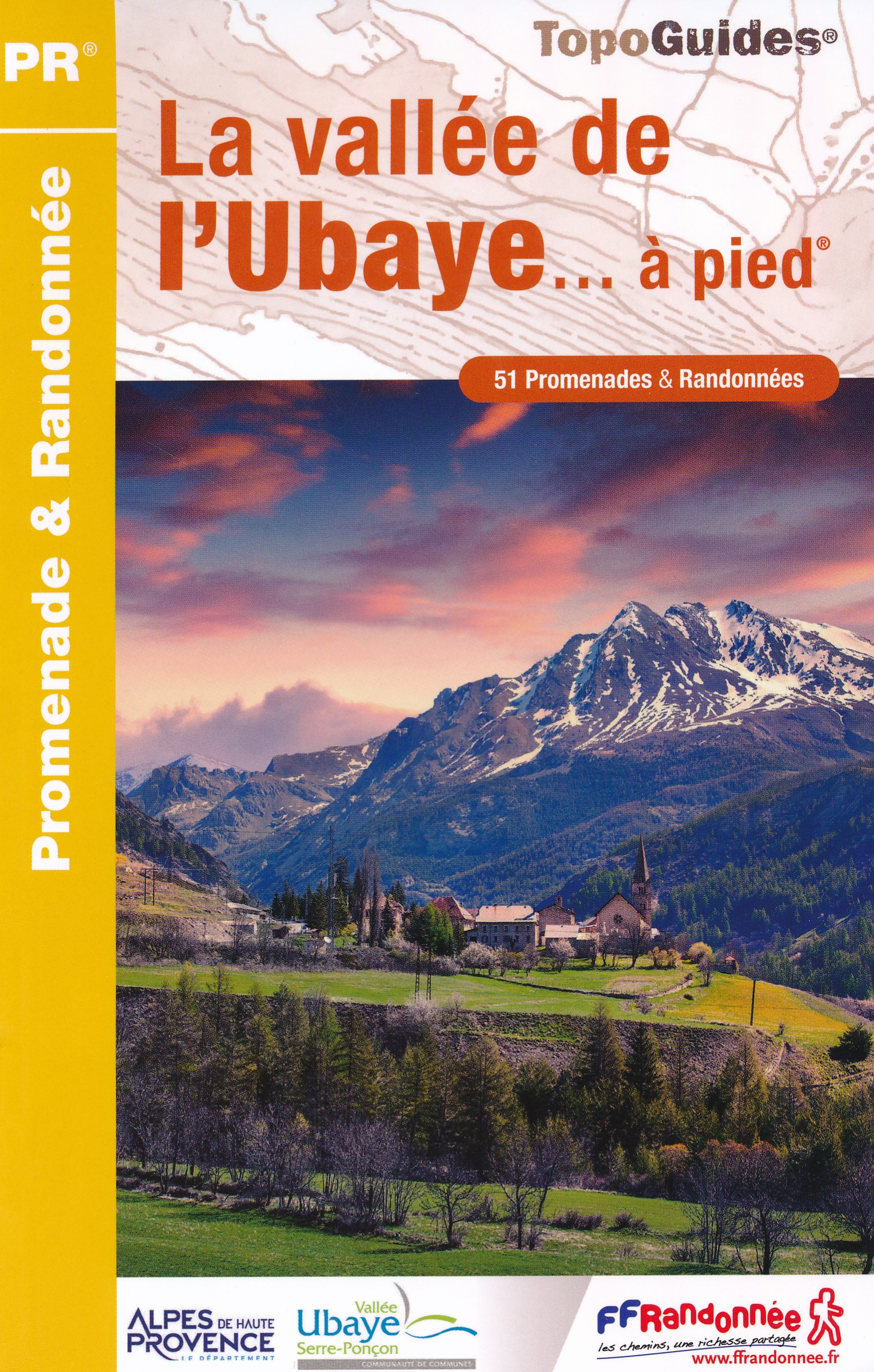
- La Vallée de l’Ubaye à pied
- La Vallée de l’Ubaye à pied, FFRP topo-guide Ref. No. P043, with 51 day walks of varying length and difficulty in the valley of the Ubaye River in the southern part of the French Alps around Barcelonnette, Jausiers and Larche. Each walk is presented on a separate colour extract from IGN’s topographic survey of France at 1:25,000 or 1:50,000,... Read more
- Also available from:
- The Book Depository, United Kingdom
- De Zwerver, Netherlands

Maps

Stanfords
United Kingdom
United Kingdom
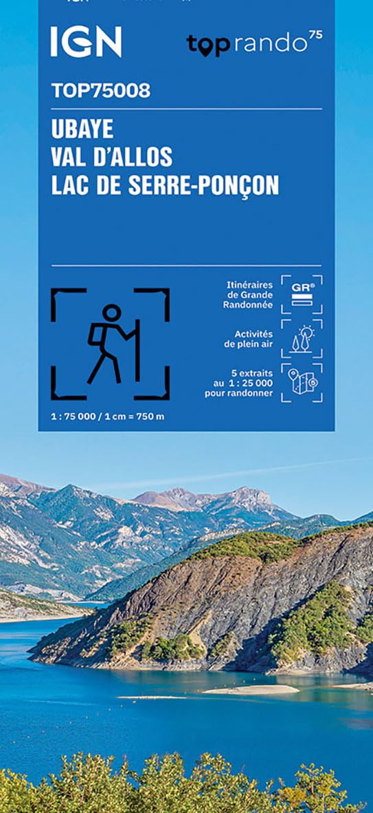
- Ubaye - Val d`Allos - Lac de Serre-Ponçon IGN 75008
- Ubaye - Val d`Allos - Lac de Serre-Ponçon region in a series of GPS compatible, contoured TOP 75 maps at 1:75,000 from the IGN, highlighting local and long-distance hiking paths, cycling routes and sites for other recreational activities. The map includes five large panels showing the areas around Petite Epervière, Grande Séolane, Aiguilles de... Read more

Stanfords
United Kingdom
2020
United Kingdom
2020
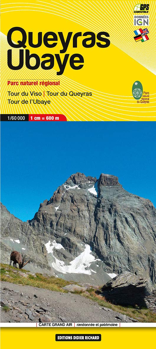
- Queyras - Ubaye Didier Richard
- Parc Naturel Régional du Queyras and the Ubaye region of the French Alps at 1:60,000 on a contoured and GPS compatible map from Didier Richard with a base derived from IGN’s topographic survey, highlighting both local hiking routes and the GR network of long-distance paths, gîtes and mountain refuges, interesting natural and cultural sites,... Read more
- Also available from:
- De Zwerver, Netherlands
More maps…