
Val Venosta
Description
Map

Links
Facts
Reports
Guides and maps
Lodging
Organisations
Tour operators
GPS
Other
Books
- Also available from:
- Bol.com, Belgium
Maps

Stanfords
United Kingdom
United Kingdom
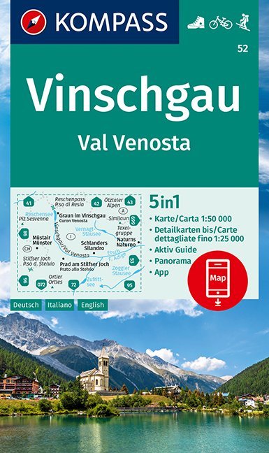
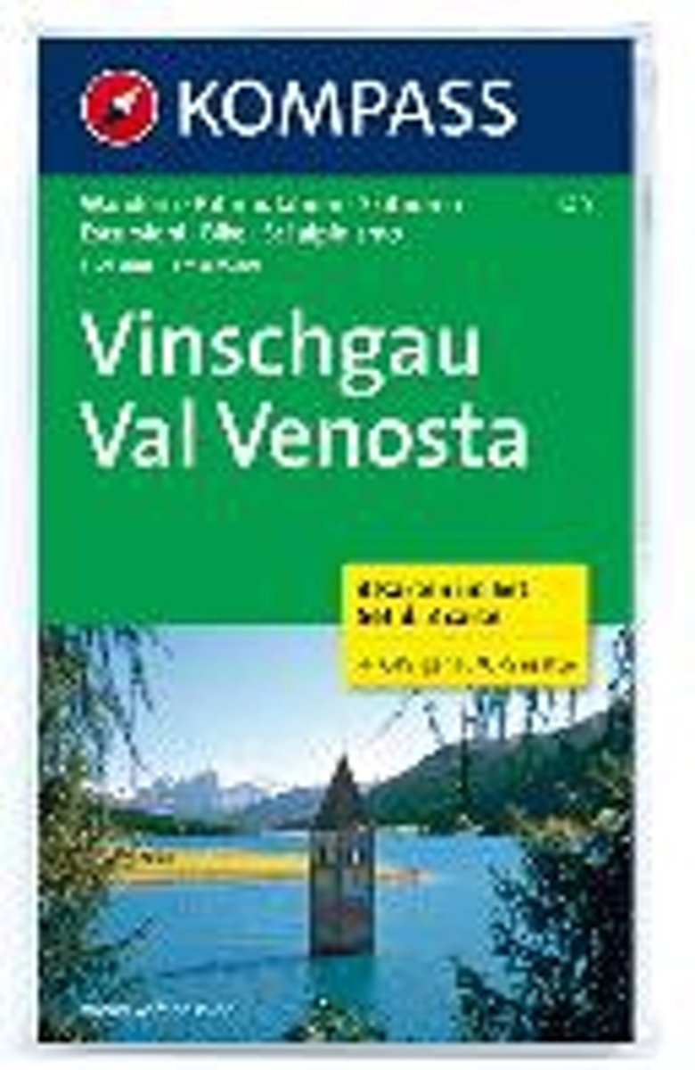
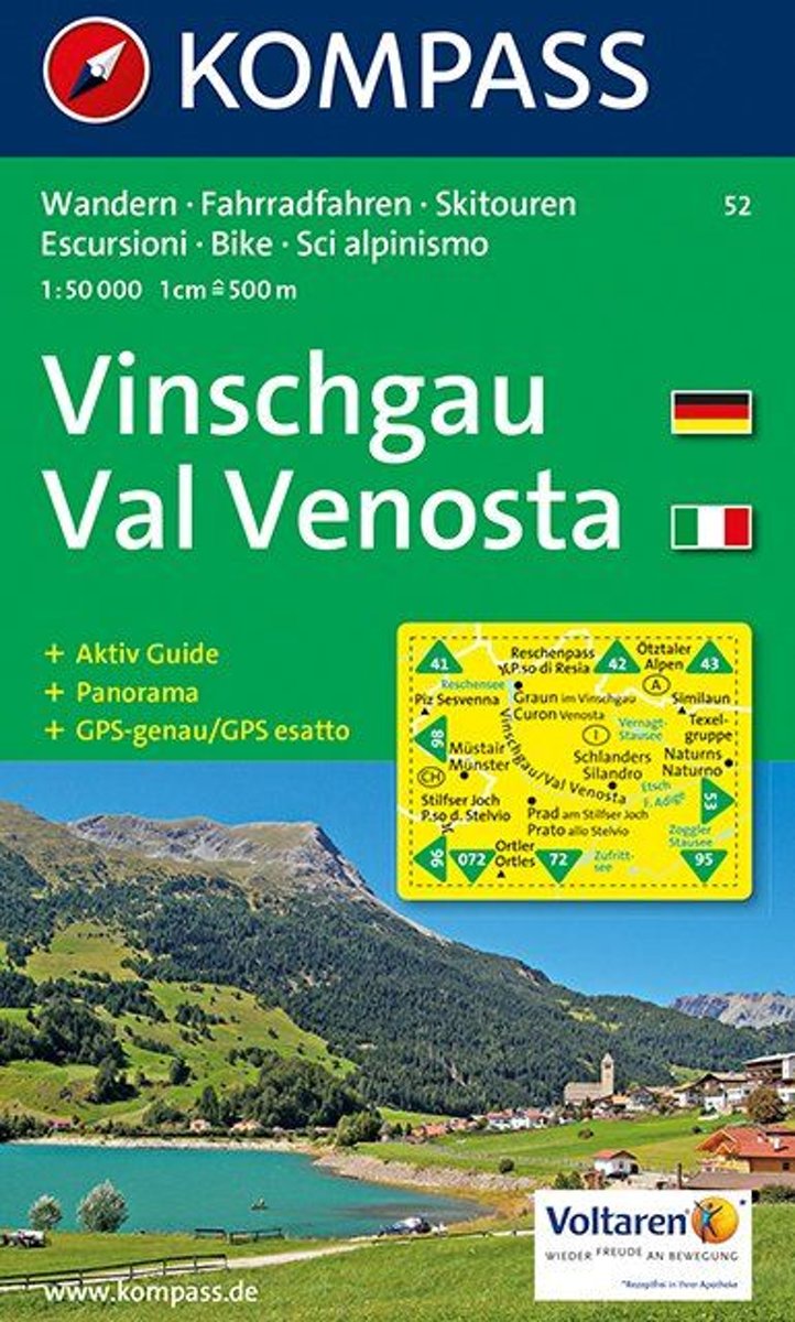
- Val Venosta / Vinschgau Kompass 52
- Val Venosta/Vinschgau area of the Dolomites on a GPS compatible hiking and recreational map at 1:50,000 from Kompass, printed on durable, waterproof and tear-resistant synthetic paper. KOMPASS HIKING MAPS OF ITALY: this title is part of an extensive series of walking maps from Kompass covering selected areas of Italy at mainly 1:50,000, with a... Read more

Stanfords
United Kingdom
United Kingdom
- Val Venosta / Vinschgau K+F Outdoor Map 1
- Val Venosta / Vinschgau area in the Dolomites at 1:50,000 in a series of waterproof and tear-resistant, GPS compatible and contoured recreational maps from Kümmerly + Frey with both local and long-distance hiking and cycling trails, ski routes, sites for other outdoor pursuits, accommodation, bus stops, etc. Coverage includes the Ortles/Ortler... Read more

Stanfords
United Kingdom
United Kingdom
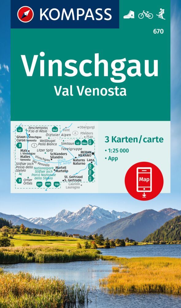
- Val Venosta / Vinschgau 3-Map Set Kompass 670
- Val Venosta / Vinschgau in the South Tyrol on a set of three contoured and GPS compatible maps at 1:25,000 from Kompass in their series of detailed maps of the Dolomites. Coverage extends from Merano westwards to the Rèsia lake and pass in the north-west and includes the Stelvio / Stilfser Joch National Par, with the Ortles/Ortler group and... Read more
Stanfords
United Kingdom
United Kingdom
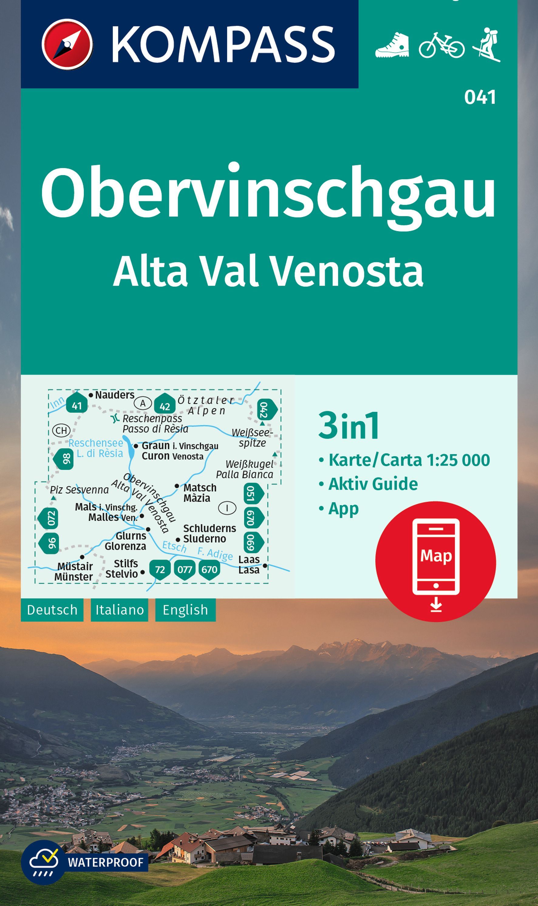
- Alta Val Venosta / Obervinschgau Kompass 041
- Map No. 041, Alta Val Venosta/Obervinschgau, from Kompass, printed on waterproof and tear-resistant synthetic paperin a series providing detailed coverage of the Dolomites and Lake Garda area and supplementing their main series of walking maps of Italy at 1:50,000. Maps in this series have a more detailed base and smaller contour interval than... Read more

Stanfords
United Kingdom
United Kingdom
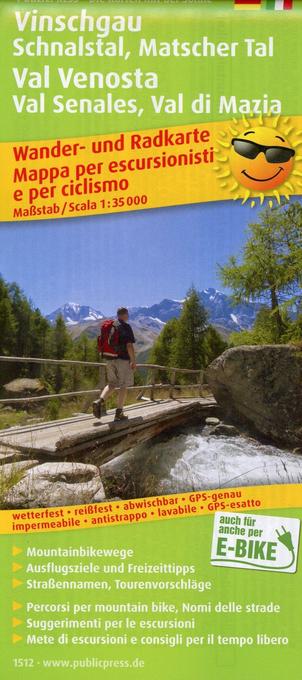
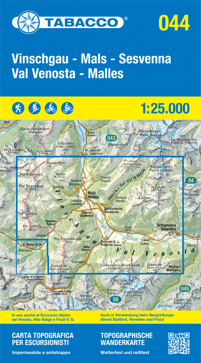
- Val Venosta / Vinschgau - Sesvenna Tabacco 044
- Val Venosta/Vinschgau - Sesvenna area in a series of Tabacco maps at 1:25,000 covering the Dolomites and the mountains of north-eastern Italy - Stanfords’ most popular coverage for this region, with excellent cartography and extensive overprint for hiking routes and other recreational activities, local bus stops, etc. Additional overprint in... Read more

The Book Depository
United Kingdom
United Kingdom
- Alta Val Venosta
- Alta Val Venosta/Vinschgauer Oberland area in a series of Tabacco maps at 1:25,000 covering the Dolomites and the mountains of north-eastern Italy - Stanfords Read more

Stanfords
United Kingdom
2021
United Kingdom
2021
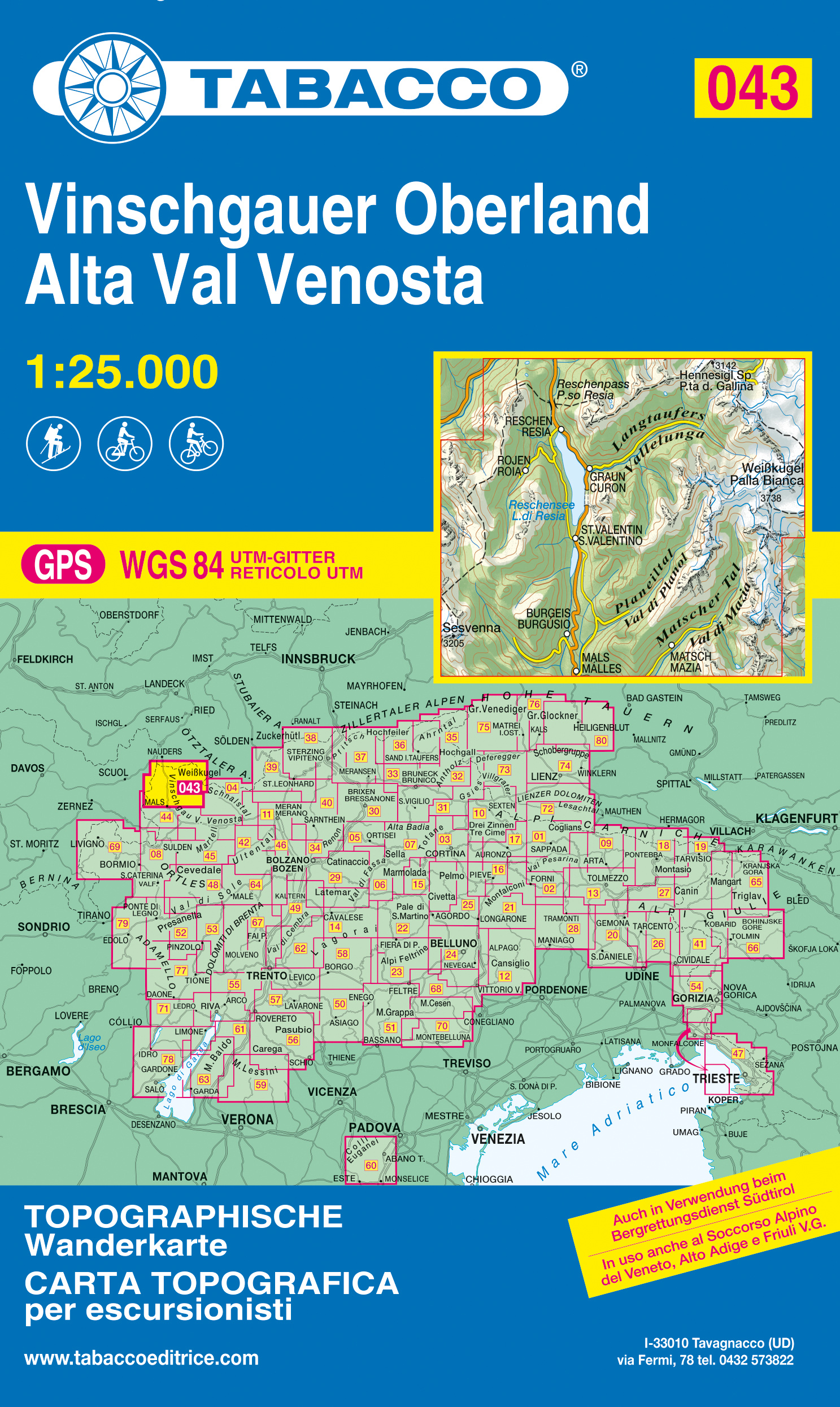
- Alta Val Venosta / Vinschgauer Oberland Tabacco 043
- Alta Val Venosta/Vinschgauer Oberland area in a series of Tabacco maps at 1:25,000 covering the Dolomites and the mountains of north-eastern Italy - Stanfords’ most popular coverage for this region, with excellent cartography and extensive overprint for hiking routes and other recreational activities, local bus stops, etc. Additional overprint... Read more
- Also available from:
- The Book Depository, United Kingdom
- De Zwerver, Netherlands
The Book Depository
United Kingdom
2021
United Kingdom
2021
- Alta Val Venosta/Vinschgauer Oberland
- Alta Val Venosta/Vinschgauer Oberland area in a series of Tabacco maps at 1:25,000 covering the Dolomites and the mountains of north-eastern Italy - Stanfords’ most popular coverage for this region, with excellent cartography and extensive overprint for hiking routes and other recreational activities, local bus stops, etc. Additional overprint... Read more
De Zwerver
Netherlands
2021
Netherlands
2021
- Wandelkaart 043 Vinschgauer Oberland - Alta Val Venosta | Tabacco Editrice
- Alta Val Venosta/Vinschgauer Oberland area in a series of Tabacco maps at 1:25,000 covering the Dolomites and the mountains of north-eastern Italy - Stanfords’ most popular coverage for this region, with excellent cartography and extensive overprint for hiking routes and other recreational activities, local bus stops, etc. Additional overprint... Read more

The Book Depository
United Kingdom
United Kingdom
Bol.com
Netherlands
Netherlands
- Kompass WK670 Vinschgau / Val Venosta
- Deze Kompass wandelkaart is ideaal om uw route uit te stippelen en om onderweg te gebruiken • naast de bekende bestemmingen, worden ook de minder bekende vermeld • openbaar vervoer bij begin- of eindpunt van een route aangegeven • eenvoudige wandelingen tot pittige (berg)tochten, voor getrainde en ongetrainde wandelaars • met heel veel nieuwe... Read more
- Also available from:
- Bol.com, Belgium
Bol.com
Belgium
Belgium
- Kompass WK670 Vinschgau / Val Venosta
- Deze Kompass wandelkaart is ideaal om uw route uit te stippelen en om onderweg te gebruiken • naast de bekende bestemmingen, worden ook de minder bekende vermeld • openbaar vervoer bij begin- of eindpunt van een route aangegeven • eenvoudige wandelingen tot pittige (berg)tochten, voor getrainde en ongetrainde wandelaars • met heel veel nieuwe... Read more
Bol.com
Netherlands
Netherlands
- Vinschgau WK52
- Deze Kompass wandelkaart, schaal 1:50 000, is ideaal om uw route uit te stippelen en om onderweg te gebruiken • naast de bekende bestemmingen, worden ook de minder bekende vermeld • openbaar vervoer bij begin- of eindpunt van een route aangegeven • eenvoudige wandelingen tot pittige (berg)tochten, voor getrainde en ongetrainde wandelaars • met... Read more
- Also available from:
- Bol.com, Belgium
Bol.com
Belgium
Belgium
- Vinschgau WK52
- Deze Kompass wandelkaart, schaal 1:50 000, is ideaal om uw route uit te stippelen en om onderweg te gebruiken • naast de bekende bestemmingen, worden ook de minder bekende vermeld • openbaar vervoer bij begin- of eindpunt van een route aangegeven • eenvoudige wandelingen tot pittige (berg)tochten, voor getrainde en ongetrainde wandelaars • met... Read more
De Zwerver
Netherlands
2023
Netherlands
2023

Stanfords
United Kingdom
United Kingdom
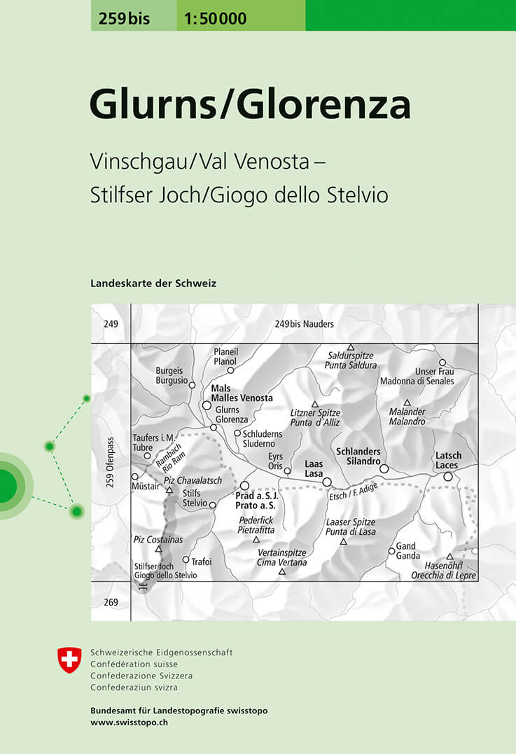
- Glorenza / Glurns Swisstopo 259bis
- Glorenza/Glurns, map No. 259bis, in the standard topographic survey of Switzerland at 1:50,000 from Swisstopo, i.e. without the special overprint highlighting walking trails, local bus stops, etc, presented in Swisstopo’s hiking editions of the 50K survey. The map covers mainly Val Venosta / Vinschgau valley on the Italian side of the... Read more
- Also available from:
- De Zwerver, Netherlands
De Zwerver
Netherlands
Netherlands
- Wandelkaart - Topografische kaart 259bis Glorenza/Glurns | Swisstopo
- Glorenza/Glurns, map No. 259bis, in the standard topographic survey of Switzerland at 1:50,000 from Swisstopo, i.e. without the special overprint highlighting walking trails, local bus stops, etc, presented in Swisstopo Read more