
Graciosa, Azores
Description

Graciosa is one of the smaller islands of the Azores, in the central group. The egg shape island only measures 11 by 7 km. It is a peaceful rural island, with fertile crops including vineyards. The central part hosts forests. In the north, near the village of Santa Cruz, you will find a caldera turned into an amphitheatre.
But the unique selling point of Graciosa is its fine volcano in the south with its densely forested caldera housing a grotto that you can visit, the Furna do Enxofre. Trails and a small road lead to this grotto, and there is an information centre. One can also walk on the edge of the caldera, only some 400 m above its floor. Several interesting walks are set out on this quiet island.
Check the list of all nine Azores islands.
Links
Facts
Reports
Guides and maps
Lodging
Organisations
Tour operators
GPS
Other
Books

United Kingdom
2018
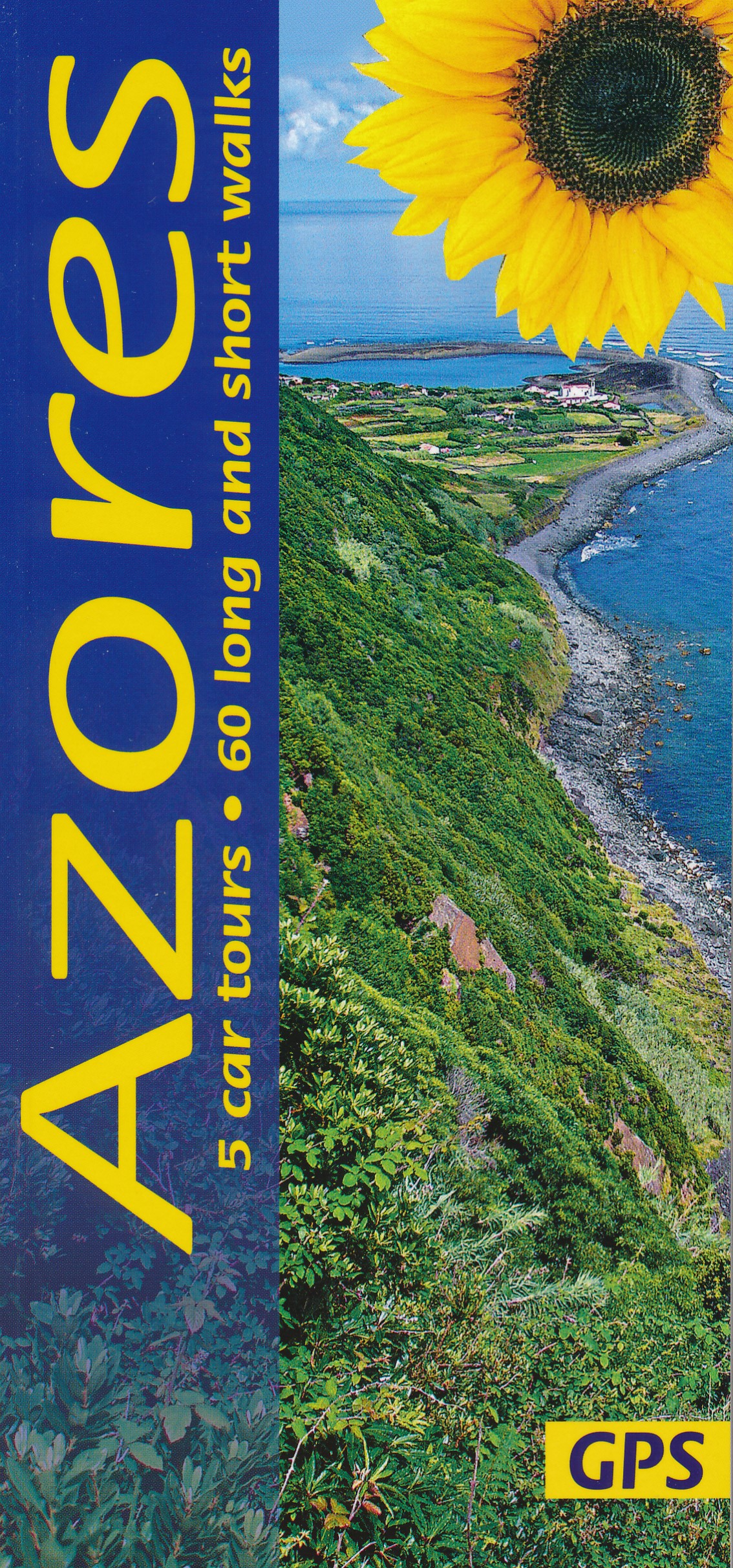
- Azores Sunflower Landscape Guide
- The Azores, nine islands in the Atlantic halfway between the Old World and the New, rise above sea level from a depth of several thousand metres. They are all volcanic in origin and all are covered in this guide.They are not the remains of the legendary continent of Atlantis, which is said to have sunk in the ocean once upon a time.... Read more
- Also available from:
- The Book Depository, United Kingdom
- De Zwerver, Netherlands

United Kingdom
2018
- Azores Sunflower Guide
- 60 long and short walks with detailed maps and GPS; 5 car tours with pull-out map Read more

United Kingdom
2019
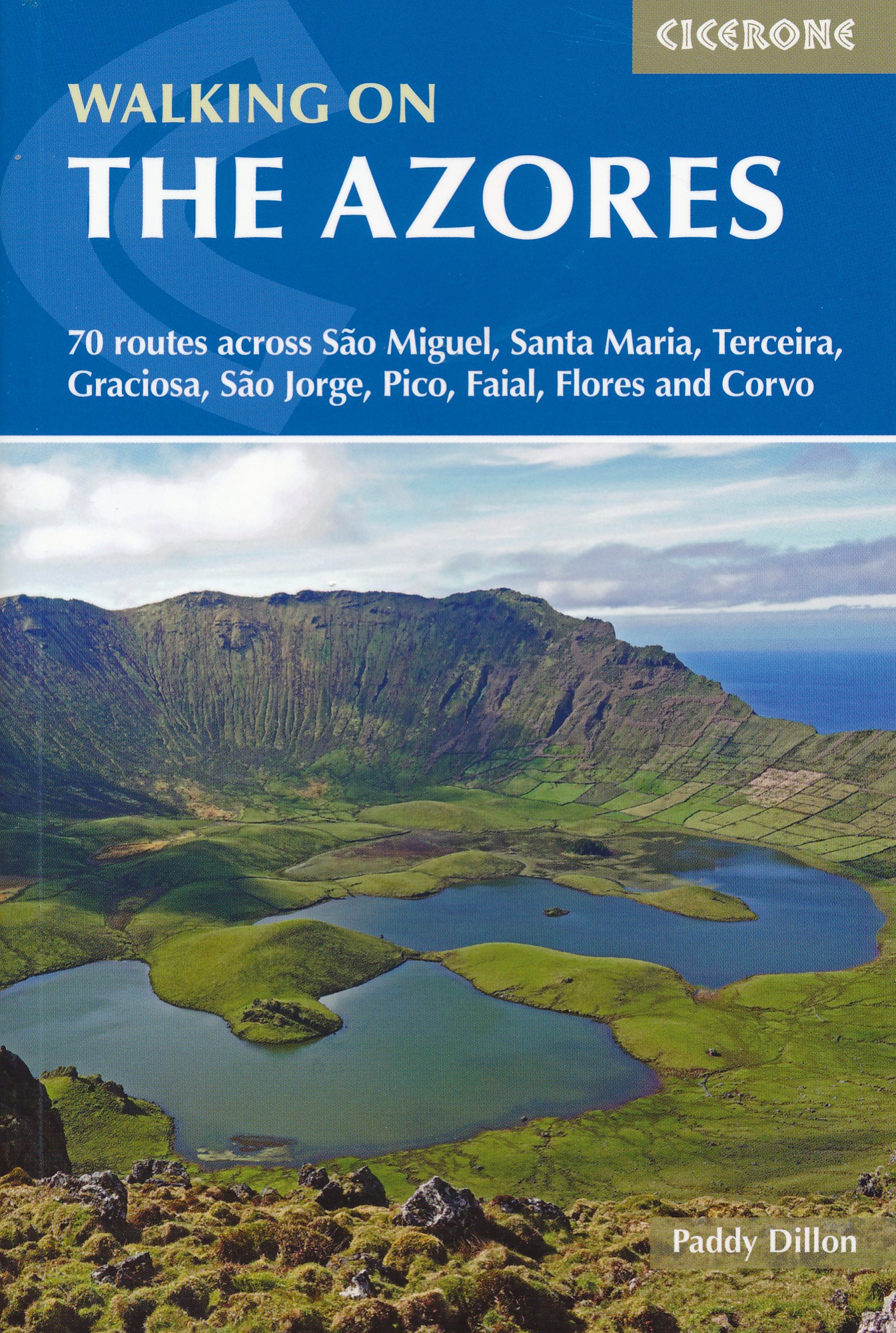
- Walking on the Azores: 70 routes across Sao Miguel, Santa Maria, Terceira, Graciosa, Sao Jorge, Pico, Faial, Flores and Corvo
- A comprehensive guide to walking in the Azores. The guidebook is divided into three island groups: Eastern Group (covering São Miguel and Santa Maria); Central Group (Terceira, Graciosa, São Jorge, Pico and Faial); and Western Group (Flores and Corvo). Most the 70 routes presented here use the Azores` official waymarked trail network and range... Read more
- Also available from:
- The Book Depository, United Kingdom
- De Zwerver, Netherlands

United Kingdom
2019
- Walking on the Azores
- 70 routes across Sao Miguel, Santa Maria, Terceira, Graciosa, Sao Jorge, Pico, Faial, Flores and Corvo Read more
Netherlands
2019
- Wandelgids Walking on the Azores - Azoren | Cicerone
- Guidebook to 70 walks on the Azores, a remote archipelago in the North Atlantic Ocean. Most of the walks are easy or moderate, with a few graded difficult. The selection is spread across all nine islands, offering much variety, from easy village-to-village walks to remote and mountainous walks, including Portugal's highest mountain, Pico. Read more
Netherlands
2016
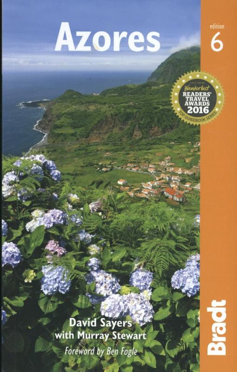
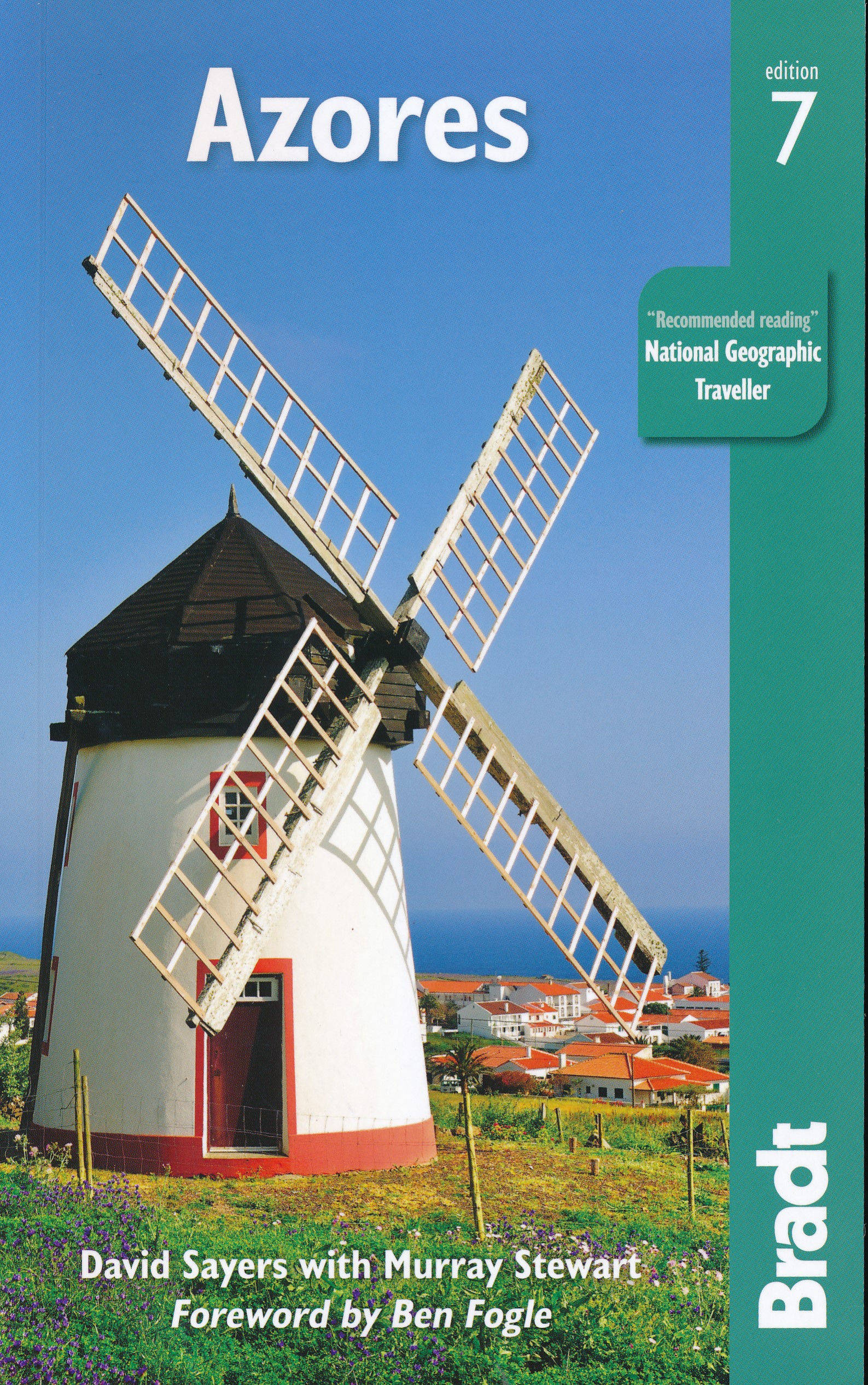
- Azores
- The sixth edition of the only full-blown guide to the beguiling islands of this mid-Atlantic Portugese archipelagoBradt's Azores guidebook is the only comprehensive guidebook to the nine-island archipelago, a nature-lovers' wilderness perched at the western extremity of Europe in the mid-Atlantic, and one of the best places in the world for... Read more
- Also available from:
- Bol.com, Belgium
Belgium
2016
- Azores
- The sixth edition of the only full-blown guide to the beguiling islands of this mid-Atlantic Portugese archipelagoBradt's Azores guidebook is the only comprehensive guidebook to the nine-island archipelago, a nature-lovers' wilderness perched at the western extremity of Europe in the mid-Atlantic, and one of the best places in the world for... Read more

United Kingdom
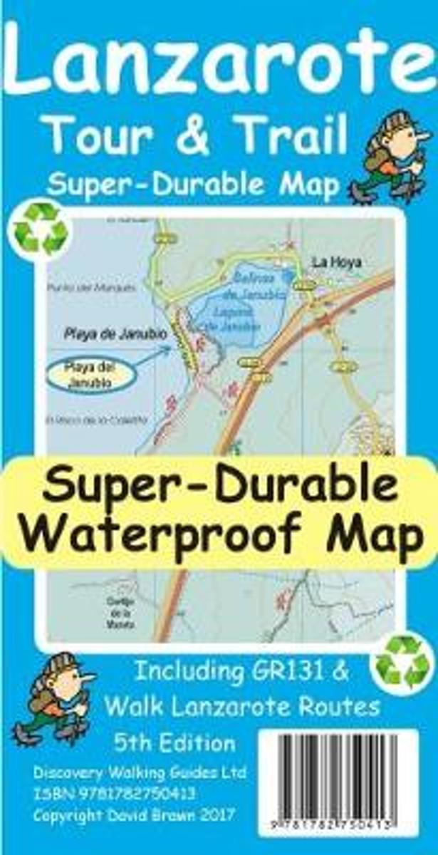
- Lanzarote Tour & Trail Super-Durable Map
- Lanzarote Tour & Trail Super-Durable Map 5th edition covers this big island at a scale of 1:40,000 resulting in the most detailed and toughest map of Lanzarote that you can buy. Large 960mm by 700mm double sided map sheet with generous overlap, to reduce turning the map in use, folds to 235mm by 120mm pocket size using our special `concertina... Read more
- Also available from:
- Bol.com, Netherlands
- Bol.com, Belgium
Netherlands
- Lanzarote Tour & Trail Super-Durable Map
- This map is being replaced by a new 4th edition published on 9 May 2016 ISBN 9781782750277. Lanzarote Tour & Trail Map 3rd edition Super-Durable version covers this big island at a scale of 1:40,000 resulting in the most detailed and toughest map of Lanzarote that you can buy. All the country walking routes from our new 3rd edition of Walk!... Read more
Belgium
- Lanzarote Tour & Trail Super-Durable Map
- This map is being replaced by a new 4th edition published on 9 May 2016 ISBN 9781782750277. Lanzarote Tour & Trail Map 3rd edition Super-Durable version covers this big island at a scale of 1:40,000 resulting in the most detailed and toughest map of Lanzarote that you can buy. All the country walking routes from our new 3rd edition of Walk!... Read more
Netherlands
2019
- Reisgids Azores - Azoren | Bradt Travel Guides
- Bradt`s Azores is the only comprehensive guidebook to the nine-island archipelago, a nature-lovers` wilderness perched at the western extremity of Europe in the mid-Atlantic, and one of the best places in the world for whale watching. Thanks to the experience of expert botanist and author David Sayers, and the ongoing involvement of author... Read more
Netherlands
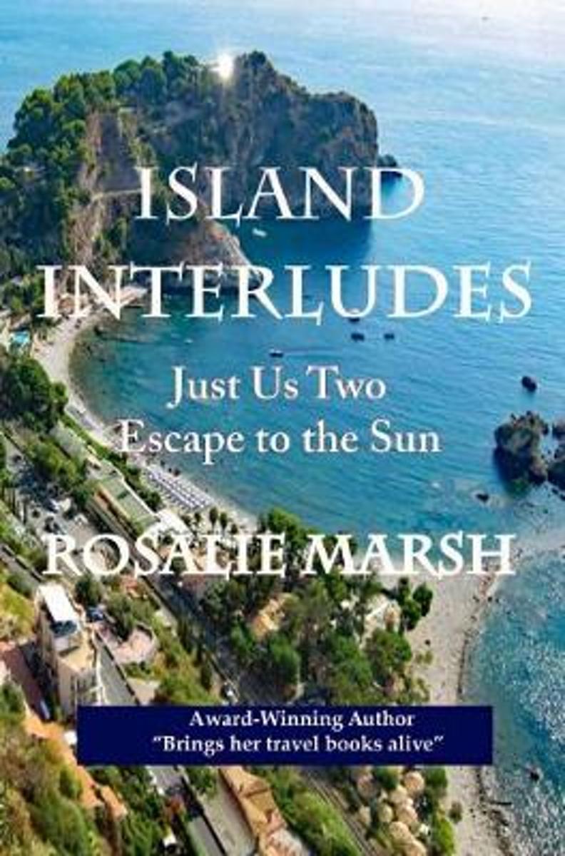
- Island Interludes
- "Romantic islands in the sun. Dreams of Sicily, Canary Islands, Malta, Cyprus, Madeira, and even further north to the distant Azores lying in the Atlantic Ocean. All of these I hungrily devoured from the pages of travel articles and over many years of looking at an atlas of the world. Everything seemed a distant dream until life had other... Read more
- Also available from:
- Bol.com, Belgium
Belgium
- Island Interludes
- "Romantic islands in the sun. Dreams of Sicily, Canary Islands, Malta, Cyprus, Madeira, and even further north to the distant Azores lying in the Atlantic Ocean. All of these I hungrily devoured from the pages of travel articles and over many years of looking at an atlas of the world. Everything seemed a distant dream until life had other... Read more
Netherlands
- Walking In The Canary Islands
- The severn volcanic Canary Islands lie just over 100 miles off the coast of Africa and have a sunny, hot climate with little rainfall and snow only on the highest peaks. The islands are crowned by El Teide, Spain's highest mountain at an impressive 3718 metres.Although the islands are often very rough and rocky, with high and often inaccessible... Read more
- Also available from:
- Bol.com, Belgium
Belgium
- Walking In The Canary Islands
- The severn volcanic Canary Islands lie just over 100 miles off the coast of Africa and have a sunny, hot climate with little rainfall and snow only on the highest peaks. The islands are crowned by El Teide, Spain's highest mountain at an impressive 3718 metres.Although the islands are often very rough and rocky, with high and often inaccessible... Read more
Netherlands
- Azores
- The Azores, previously known primarily in connection with weather maps, has drawn more and more visitors in recent years. Nine different islands of volcanic origin belong to this archipelago, which, politically, belongs to Portugal. Corvo, the smallest of the Azores, measures only 17 square kilometres, compared to São Miguel at 757. The island... Read more
- Also available from:
- Bol.com, Belgium
Belgium
- Azores
- The Azores, previously known primarily in connection with weather maps, has drawn more and more visitors in recent years. Nine different islands of volcanic origin belong to this archipelago, which, politically, belongs to Portugal. Corvo, the smallest of the Azores, measures only 17 square kilometres, compared to São Miguel at 757. The island... Read more
Netherlands
2016
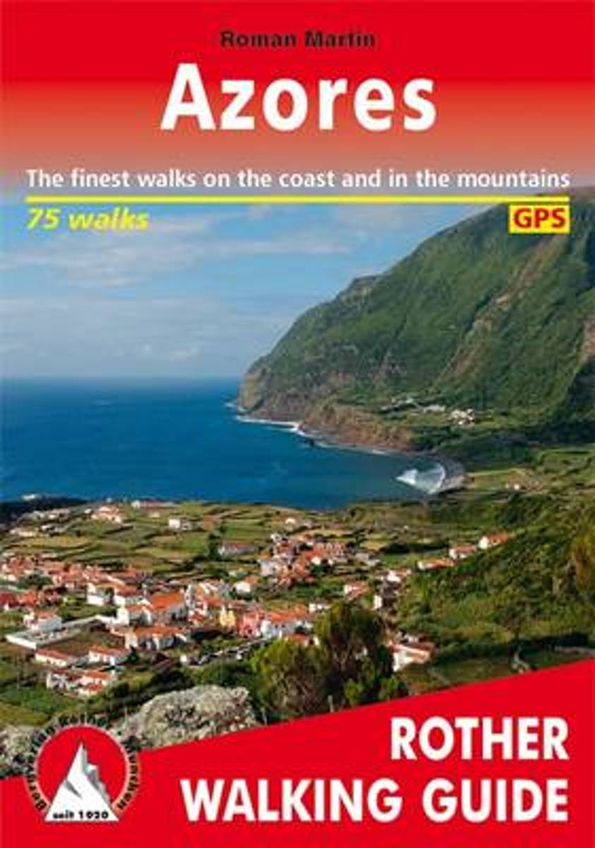
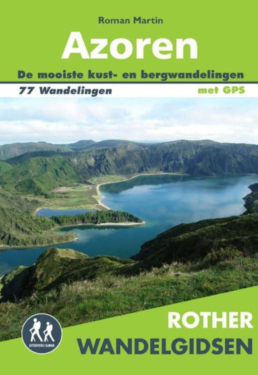
- Rother Wandelgidsen - Azoren
- De Rother wandelgids Azoren beschrijft de mooiste kust- en bergwandelingen voor een fantastische wandelvakantie in dit Portugese natuurparadijs. De Azoren bestaan uit de eilanden São Miguel, Santa Maria, Faial, São Jorge, Pico, Terceira, Graciosa, Corvo en Flores. Er zijn veel verschillende wandelmogelijkheden op de eilanden; van wandelingen... Read more
- Also available from:
- Bol.com, Belgium
- De Zwerver, Netherlands
Belgium
2016
- Rother Wandelgidsen - Azoren
- De Rother wandelgids Azoren beschrijft de mooiste kust- en bergwandelingen voor een fantastische wandelvakantie in dit Portugese natuurparadijs. De Azoren bestaan uit de eilanden São Miguel, Santa Maria, Faial, São Jorge, Pico, Terceira, Graciosa, Corvo en Flores. Er zijn veel verschillende wandelmogelijkheden op de eilanden; van wandelingen... Read more

Netherlands
2014
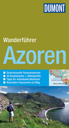
- Wandelgids Wanderfüher Azoren | Dumont
- Duitstalige wandelgids met goede beschrijvingen van de tochten, schetsmatige maar wel redelijke kaarten en heel wat praktische informatie per wandeling. Wandern durch die faszinierenden Landschaften der neun Azoreninseln mit Gipfelbesteigungen des Monte Escuro und Touren durch urwüchsige Wälder, über schroffe Felsküsten, zu gewaltigen... Read more
Netherlands
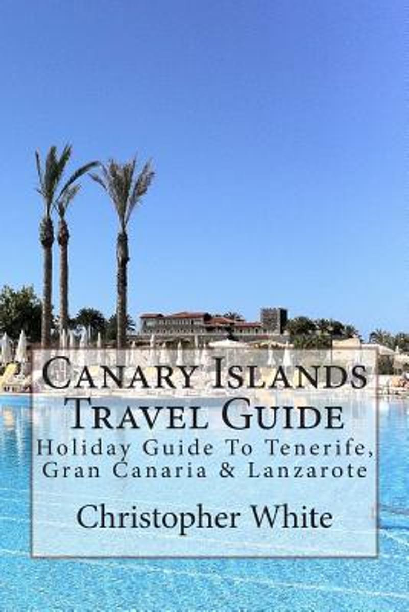
- Canary Islands Travel Guide
- The Canary Islands (Spanish: Islas Canarias) are an Atlantic territory of Spain on the west coast of Africa, near to Morocco, Cape Verde and the archipelagos of the Azores Islands and Madeira Islands.Gran Canaria The largest island by population, its capital city (Las Palmas de Gran Canaria) has the shared title of capital of the Canaries.... Read more
- Also available from:
- Bol.com, Belgium
Belgium
- Canary Islands Travel Guide
- The Canary Islands (Spanish: Islas Canarias) are an Atlantic territory of Spain on the west coast of Africa, near to Morocco, Cape Verde and the archipelagos of the Azores Islands and Madeira Islands.Gran Canaria The largest island by population, its capital city (Las Palmas de Gran Canaria) has the shared title of capital of the Canaries.... Read more
Netherlands
2022
- Wandelgids Rother Wandefuhrer Spanje Lanzarote | Rother Bergverlag
- Goede - Duitstalige - wandelgids met veel dagtochten verspreid over het gebied. Beschrijvingen zijn voldoende en praktische informatie is handig. Kaartjes beperkt. Die »Feuerinsel« ist ganz sicher das eigenwilligste Kanareneiland. Rund 300 Vulkane hinterließen auf der Insel eine ausgeglühte Mondlandschaft, wie sie bizarrer nicht sein könnte.... Read more
Maps
United Kingdom
- Corvo - Azores 3
- Topographic survey of Portugal at 1:25,000 from the Instituto Geográfico do Exército, the country’s military survey organisation.Map legend and a glossary of terms used on the maps include English.To see all the titles in this series please click on the series link. Read more
United Kingdom
- Pico - S.Mateus - Azores 11
- Topographic survey of Portugal at 1:25,000 from the Instituto Geográfico do Exército, the country’s military survey organisation.Map legend and a glossary of terms used on the maps include English.To see all the titles in this series please click on the series link. Read more
United Kingdom
- S. Jorge - Faja do Sanguinhal - Azores 19
- Topographic survey of Portugal at 1:25,000 from the Instituto Geográfico do Exército, the country’s military survey organisation.Map legend and a glossary of terms used on the maps include English.To see all the titles in this series please click on the series link. Read more
United Kingdom
- S. Miguel - Candelaria - Azores 27
- Topographic survey of Portugal at 1:25,000 from the Instituto Geográfico do Exército, the country’s military survey organisation.Map legend and a glossary of terms used on the maps include English.To see all the titles in this series please click on the series link. Read more

United Kingdom
- Lanzarote Kompass 241
- Lanzarote at 1:50,000 on a contoured and GPS compatible map from Kompass, with extensive tourist overprint, plus street plans of Arrecife, Puerto del Carmen and Teguise. Coverage includes the nearby islands of Graciosa, Montaña Clara and Alwegranza.Topography is vividly presented by contours at 50m intervals, enhanced by relief shading plus... Read more
United Kingdom
- Faial - North Beach - Azores 4
- Topographic survey of Portugal at 1:25,000 from the Instituto Geográfico do Exército, the country’s military survey organisation.Map legend and a glossary of terms used on the maps include English.To see all the titles in this series please click on the series link. Read more
United Kingdom
- Pico - Lajes do Pico - Azores 12
- Topographic survey of Portugal at 1:25,000 from the Instituto Geográfico do Exército, the country’s military survey organisation.Map legend and a glossary of terms used on the maps include English.To see all the titles in this series please click on the series link. Read more
United Kingdom
- S. Jorge - Topo - Azores 20
- Topographic survey of Portugal at 1:25,000 from the Instituto Geográfico do Exército, the country’s military survey organisation.Map legend and a glossary of terms used on the maps include English.To see all the titles in this series please click on the series link. Read more
United Kingdom
- S. Miguel - Ribeira Grande - Azores 28
- Topographic survey of Portugal at 1:25,000 from the Instituto Geográfico do Exército, the country’s military survey organisation.Map legend and a glossary of terms used on the maps include English.To see all the titles in this series please click on the series link. Read more
United Kingdom
- Faial - Pedro Miguel - Azores 5
- Topographic survey of Portugal at 1:25,000 from the Instituto Geográfico do Exército, the country’s military survey organisation.Map legend and a glossary of terms used on the maps include English.To see all the titles in this series please click on the series link. Read more
United Kingdom
- Pico - Piedade - Azores 13
- Topographic survey of Portugal at 1:25,000 from the Instituto Geográfico do Exército, the country’s military survey organisation.Map legend and a glossary of terms used on the maps include English.To see all the titles in this series please click on the series link. Read more
United Kingdom
- Santa Cruz da Graciosa - Azores 21
- Topographic survey of Portugal at 1:25,000 from the Instituto Geográfico do Exército, the country’s military survey organisation.Map legend and a glossary of terms used on the maps include English.To see all the titles in this series please click on the series link. Read more
United Kingdom
- S. Miguel - Maia - Azores 29
- Topographic survey of Portugal at 1:25,000 from the Instituto Geográfico do Exército, the country’s military survey organisation.Map legend and a glossary of terms used on the maps include English.To see all the titles in this series please click on the series link. Read more
United Kingdom
- Faial - Feteira - Azores 6
- Topographic survey of Portugal at 1:25,000 from the Instituto Geográfico do Exército, the country’s military survey organisation.Map legend and a glossary of terms used on the maps include English.To see all the titles in this series please click on the series link. Read more
United Kingdom
- S. Jorge - Farol de Rosais - Azores 14
- Topographic survey of Portugal at 1:25,000 from the Instituto Geográfico do Exército, the country’s military survey organisation.Map legend and a glossary of terms used on the maps include English.To see all the titles in this series please click on the series link. Read more