
Portugal
Description

It wasn't until the late nineteen-nineties that Portugal started the construction and marking of hiking paths. Long distance hiking trails are still rare. The major Grande Rota (GR's) are in part no more than a promiss. Of European long distance hiking trail E7 (GR12), 80 km on the border with Spain are ready. The GR11, Camino de Santiago, by now runs from Lisbon to Santiago de Compostela. Most fully completed is the 540 km long GR22, Trail of the Old Towns. Problematic in Portugal are the often outdated maps and sometimes poor condition of paths and markings.
As a good alternative you can hike a range of shorter trails, which you will come across in all national parks and protected landscape areas. These walks last from several hours to a full day, and are marked in red and yellow. Names of these trails start with PR, Pequena Rota (= minor routes), signposts mark the trailheads, although some trails are circular. Try to buy maps and guides through the internet or in you own country in advance, because locally these are hard to come by.
Walking the shorter trails is an excellent way to explore Portugese nature. The first national park that deserves to be mentioned is Peneda-Gerês, a mountain area abounding in water, in the north of Portugal forming the border with Spain. Another good area for hiking is the Serra de Estrela, where you will find mainland Portugal's highest mountain Malhão de Estrela (1993m). Most hikers will be looking for walks in the Algarve, and on the vulcanic islands of Madeira, the Azores (with Mount Pico as the highest at 2351m) and Berlengas. These popular islands harbour bizarre plant and animal life, and offer numerous short marked trails.
Trails
Regions
- Alentejo
- Algarve
- Alvão Natural Park
- Arrábida
- Azores
- Berlengas
- Corvo, Azores
- Costa Verde
- Doura
- Estremadura
- Faial, Azores
- Flores, Azores
- Graciosa, Azores
- Madeira
- Montesinho
- Peneda-Gerês
- Pico, Azores
- Porto Santo, Madeira
- Santa Maria, Azores
- São Jorge, Azores
- São Miguel, Azores
- Serra da Estrela
- Serra da Malcata
- Serras de Aires e Candeeiros
- Terceira, Azores
Links
Facts
Reports
Guides and maps
Lodging
Organisations
Tour operators
GPS
Other
Books

United Kingdom
- A1 Traveler
- Portugal (Travel Guide) Planning A Trip To Portugal Read more

United Kingdom
2017
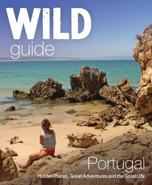
- The Wild Guide Portugal
- Hidden Places, Great Adventures and the Good Life Read more
- Also available from:
- De Zwerver, Netherlands
Netherlands
2017
- Reisgids Wild Guide Portugal | Wild Things Publishing
- Inspirerende gids voor mooie plekken en het goede leven in Portugal. Imagine a summer spent plunging into clear turquoise rivers, playing on hidden beaches, walking in wild flower-strewn cork forests, and tasting wine from boutique vineyards accompanied by the freshest seafood. In this explorer’s compendium you will discover the hidden... Read more


Netherlands
2014
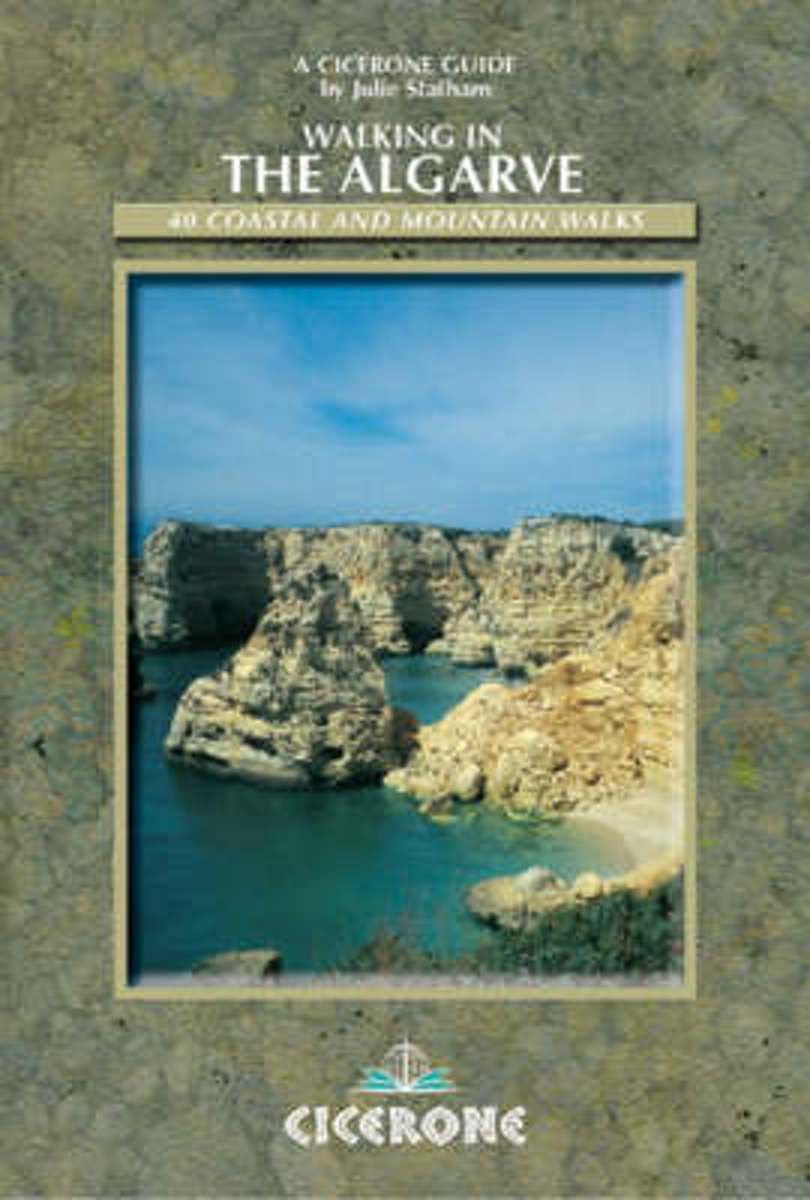
- Walking In The Algarve
- For many years the Algarve has not been considered as a 'real' walking destination. That opinion is rapidly changing. An increasing number of people are beginning to realise that there is far more to this area than first meets the eye - besides a spectacular and dramatic coastline, there is a huge interior that sees very few visitors. Here the... Read more
- Also available from:
- Bol.com, Belgium
Belgium
2014
- Walking In The Algarve
- For many years the Algarve has not been considered as a 'real' walking destination. That opinion is rapidly changing. An increasing number of people are beginning to realise that there is far more to this area than first meets the eye - besides a spectacular and dramatic coastline, there is a huge interior that sees very few visitors. Here the... Read more


Netherlands
- Gymnastic Exercises for Horses
- The rare book, Gymnastic Exercises for Horses Volume II is now available in the Xenophon Press Reprint program. This great work explains how to gymnastically develop your horse and how to address problems that will inevitably arise along his path of training. The exercises are for green horses to Grand Prix and everything in between. Each... Read more
- Also available from:
- Bol.com, Belgium
Belgium
- Gymnastic Exercises for Horses
- The rare book, Gymnastic Exercises for Horses Volume II is now available in the Xenophon Press Reprint program. This great work explains how to gymnastically develop your horse and how to address problems that will inevitably arise along his path of training. The exercises are for green horses to Grand Prix and everything in between. Each... Read more

Netherlands
2016
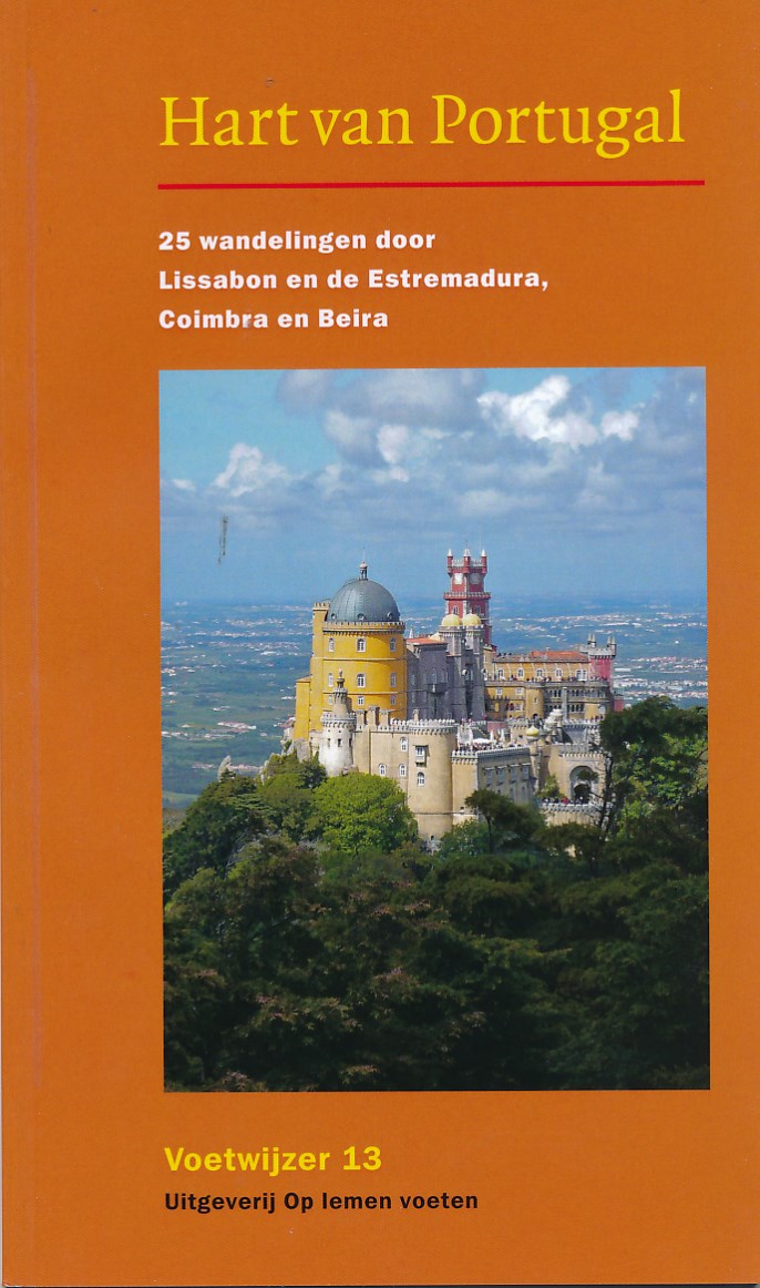
- Wandelgids Voetwijzer Hart van Portugal | Op Lemen Voeten
- 25 Wandelingen door Lissabon en de Estremadura, Coimbra en Beira. Geschiedenis, landschap, cultuur Read more
Netherlands
2024
Netherlands
- Portugal Garden Path Notebook
- Designer Notebook with 150 lined pages, 6'' x 9''. Glossy softcover, perfect for everyday use. Perfectly spaced between lines to allow plenty of room to write. Wild Pages Press are publishers of unique journals, school exercise books, college or university lecture pads, memo books, notebooks, journals and travel journals that are a little bit... Read more
- Also available from:
- Bol.com, Belgium
Belgium
- Portugal Garden Path Notebook
- Designer Notebook with 150 lined pages, 6'' x 9''. Glossy softcover, perfect for everyday use. Perfectly spaced between lines to allow plenty of room to write. Wild Pages Press are publishers of unique journals, school exercise books, college or university lecture pads, memo books, notebooks, journals and travel journals that are a little bit... Read more
Maps

United Kingdom
- Torres Vedras
- Topographic survey of Portugal at 1:50,000 from the Instituto Geográfico do Exército, the country’s military survey organisation. The maps have contours at 20m intervals and in addition to the standard features shown on topographic mapping at this scale also indicate various types of terrain or vegetation (sand, terraces, rocks, woodlands,... Read more

United Kingdom
- Figeiro dos Vinhos
- Topographic survey of Portugal at 1:50,000 from the Instituto Geográfico Português, the country’s civilian survey organisation. The maps have contours at 25m intervals and in addition to the standard features shown on topographic mapping at this scale also indicate various types of vegetation (vineyards, olive groves, etc). Each sheet covers an... Read more
United Kingdom
- Pavia
- Topographic survey of Portugal at 1:50,000 from the Instituto Geográfico do Exército, the country’s military survey organisation. The maps have contours at 20m intervals and in addition to the standard features shown on topographic mapping at this scale also indicate various types of terrain or vegetation (sand, terraces, rocks, woodlands,... Read more
United Kingdom
- Coruche
- Topographic survey of Portugal at 1:50,000 from the Instituto Geográfico Português, the country’s civilian survey organisation. The maps have contours at 25m intervals and in addition to the standard features shown on topographic mapping at this scale also indicate various types of vegetation (vineyards, olive groves, etc). Each sheet covers an... Read more
- Also available from:
- Stanfords, United Kingdom
United Kingdom
- Coruche
- Topographic survey of Portugal at 1:50,000 from the Instituto Geográfico do Exército, the country’s military survey organisation. The maps have contours at 20m intervals and in addition to the standard features shown on topographic mapping at this scale also indicate various types of terrain or vegetation (sand, terraces, rocks, woodlands,... Read more
United Kingdom
- Figueira de Castelo Rodrigo
- Topographic survey of Portugal at 1:50,000 from the Instituto Geográfico do Exército, the country’s military survey organisation. The maps have contours at 20m intervals and in addition to the standard features shown on topographic mapping at this scale also indicate various types of terrain or vegetation (sand, terraces, rocks, woodlands,... Read more

United Kingdom
- Miranda do Douro
- Topographic survey of Portugal at 1:100,000 from the Instituto Geográfico Português, the country’s civilian survey organisation. The maps have contours at 50m intervals and in addition to the standard features shown on topographic mapping at this scale also indicate various types of vegetation (vineyards, olive groves, etc). Each sheet covers... Read more
- Also available from:
- Stanfords, United Kingdom
United Kingdom
- Miranda do Douro
- Topographic survey of Portugal at 1:50,000 from the Instituto Geográfico do Exército, the country’s military survey organisation. The maps have contours at 20m intervals and in addition to the standard features shown on topographic mapping at this scale also indicate various types of terrain or vegetation (sand, terraces, rocks, woodlands,... Read more

United Kingdom
- Messejana
- Topographic survey of Portugal at 1:50,000 from the Instituto Geográfico do Exército, the country’s military survey organisation. The maps have contours at 20m intervals and in addition to the standard features shown on topographic mapping at this scale also indicate various types of terrain or vegetation (sand, terraces, rocks, woodlands,... Read more
United Kingdom
- Aquas de Moura
- Topographic survey of Portugal at 1:50,000 from the Instituto Geográfico Português, the country’s civilian survey organisation. The maps have contours at 25m intervals and in addition to the standard features shown on topographic mapping at this scale also indicate various types of vegetation (vineyards, olive groves, etc). Each sheet covers an... Read more
- Also available from:
- Stanfords, United Kingdom
United Kingdom
- Aquas de Moura
- Topographic survey of Portugal at 1:50,000 from the Instituto Geográfico do Exército, the country’s military survey organisation. The maps have contours at 20m intervals and in addition to the standard features shown on topographic mapping at this scale also indicate various types of terrain or vegetation (sand, terraces, rocks, woodlands,... Read more
United Kingdom
- Monchique
- Topographic survey of Portugal at 1:50,000 from the Instituto Geográfico Português, the country’s civilian survey organisation. The maps have contours at 25m intervals and in addition to the standard features shown on topographic mapping at this scale also indicate various types of vegetation (vineyards, olive groves, etc). Each sheet covers an... Read more
United Kingdom
- Rio Ohanca
- Topographic survey of Portugal at 1:100,000 from the Instituto Geográfico Português, the country’s civilian survey organisation. The maps have contours at 50m intervals and in addition to the standard features shown on topographic mapping at this scale also indicate various types of vegetation (vineyards, olive groves, etc). Each sheet covers... Read more

United Kingdom
- Silves
- Topographic survey of Portugal at 1:50,000 from the Instituto Geográfico do Exército, the country’s military survey organisation. The maps have contours at 20m intervals and in addition to the standard features shown on topographic mapping at this scale also indicate various types of terrain or vegetation (sand, terraces, rocks, woodlands,... Read more
United Kingdom
- Vila Verde de Ficalho
- Topographic survey of Portugal at 1:50,000 from the Instituto Geográfico Português, the country’s civilian survey organisation. The maps have contours at 25m intervals and in addition to the standard features shown on topographic mapping at this scale also indicate various types of vegetation (vineyards, olive groves, etc). Each sheet covers an... Read more
- Also available from:
- Stanfords, United Kingdom
United Kingdom
- Vila Verde de Ficalho
- Topographic survey of Portugal at 1:50,000 from the Instituto Geográfico do Exército, the country’s military survey organisation. The maps have contours at 20m intervals and in addition to the standard features shown on topographic mapping at this scale also indicate various types of terrain or vegetation (sand, terraces, rocks, woodlands,... Read more
United Kingdom
- Vagos
- Topographic survey of Portugal at 1:50,000 from the Instituto Geográfico Português, the country’s civilian survey organisation. The maps have contours at 25m intervals and in addition to the standard features shown on topographic mapping at this scale also indicate various types of vegetation (vineyards, olive groves, etc). Each sheet covers an... Read more
United Kingdom
- Regenguos de Monsaraz
- Topographic survey of Portugal at 1:50,000 from the Instituto Geográfico Português, the country’s civilian survey organisation. The maps have contours at 25m intervals and in addition to the standard features shown on topographic mapping at this scale also indicate various types of vegetation (vineyards, olive groves, etc). Each sheet covers an... Read more
- Also available from:
- Stanfords, United Kingdom
United Kingdom
- Regenguos de Monsaraz
- Topographic survey of Portugal at 1:50,000 from the Instituto Geográfico do Exército, the country’s military survey organisation. The maps have contours at 20m intervals and in addition to the standard features shown on topographic mapping at this scale also indicate various types of terrain or vegetation (sand, terraces, rocks, woodlands,... Read more

United Kingdom
- Portimao
- Topographic survey of Portugal at 1:50,000 from the Instituto Geográfico do Exército, the country’s military survey organisation. The maps have contours at 20m intervals and in addition to the standard features shown on topographic mapping at this scale also indicate various types of terrain or vegetation (sand, terraces, rocks, woodlands,... Read more