
Pico, Azores
Description

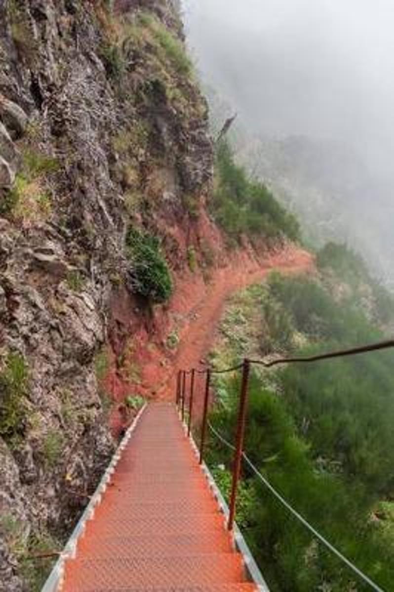
Pico is the second largest of the nine Azores, and belongs to the central group of islands. It houses the highest mountain of the Azores, Mount Pico, 2351 m. This forbidding black stratovolcano can be climbed, but that’s not without danger. Choose a clear day, take enough water because their is no source, and be sure to be in a good shape, especially when going down through the tiring volcanic grit. If you don’t feel sure, take a guide.
This spectacular cone is not the only interesting aspect of Pico. Even more intriguing is the long string of small cones and lakes extending from the eastern point of the stretched island towards mount pico. Parts are overgrown with shrubs and forest, protecting even some of the original endemic vegetation. Along the northeast coast, several shorter and easy trails are set out. Much of the lush coast is still wooded.
Check the list of all nine Azores islands.
Links
Facts
Reports
Guides and maps
Lodging
Organisations
Tour operators
GPS
Other
Books

United Kingdom
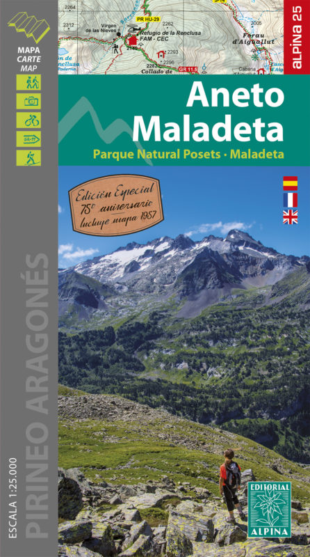
- Aneto - Maladeta - PN Posets Editorial Alpina
- The highest part of the Spanish Pyrenees, the Maladeta massif with Pico de Aneto including the surrounding valleys of Benasque and Barraves, at 1:25,000 on a contoured and GPS compatible map from Editorial Alpina, accompanied by a booklet with English language descriptions of recommended walks and climbs, accommodation details, etc.Vivid... Read more
- Also available from:
- The Book Depository, United Kingdom
- De Zwerver, Netherlands

United Kingdom
- Aneto Maladeta - PN Posets-Maladeta 2 maps
- The highest part of the Spanish Pyrenees, the Maladeta massif with Pico de Aneto including the surrounding valleys of Benasque and Barraves, at 1:25,000 on a contoured and GPS compatible map from Editorial Alpina, accompanied by a booklet with English language descriptions of recommended walks and climbs, accommodation details, etc.Vivid... Read more
Netherlands
- Wandelkaart 15 Aneto - Maladeta | Editorial Alpina
- The highest part of the Spanish Pyrenees, the Maladeta massif with Pico de Aneto including the surrounding valleys of Benasque and Barraves, at 1:25,000 on a contoured and GPS compatible map from Editorial Alpina, accompanied by a booklet with English language descriptions of recommended walks and climbs, accommodation details, etc.Vivid... Read more

United Kingdom
2022
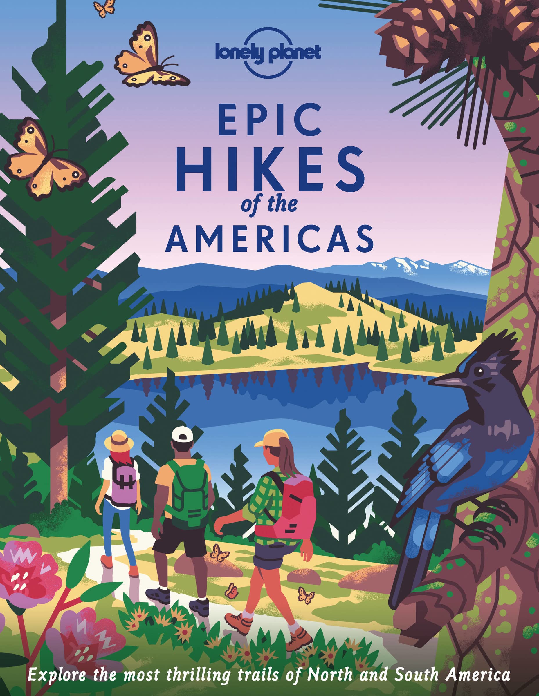
- Lonely Planet Epic Hikes of the Americas
- Lace up your hiking boots for the next in Lonely Planet`s highly successful Epic Hikes series, this time exploring 50 of the Americas` most rewarding treks and trails. From Canada`s longest hut-to-hut hike, the Sunshine Coast Trail, to a descent through Havasu Canyon in the USA, and the Santa Cruz Trail of northern Peru, we cover a huge variety... Read more
- Also available from:
- De Zwerver, Netherlands
Netherlands
2022
- Wandelgids Epic Hikes of the Americas | Lonely Planet
- Lace up your hiking boots for the next in Lonely Planet`s highly successful Epic Hikes series, this time exploring 50 of the Americas` most rewarding treks and trails. From Canada`s longest hut-to-hut hike, the Sunshine Coast Trail, to a descent through Havasu Canyon in the USA, and the Santa Cruz Trail of northern Peru, we cover a huge variety... Read more

United Kingdom
2018
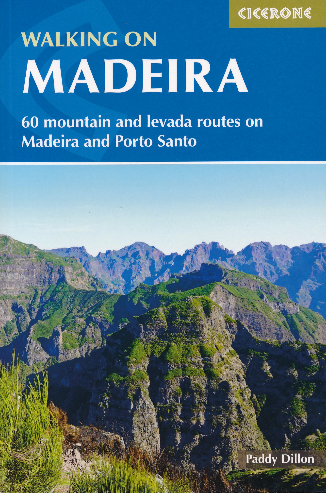
- Walking on Madeira
- 60 mountain and levada routes on Madeira and Porto Santo Read more
- Also available from:
- De Zwerver, Netherlands
Netherlands
2018
- Wandelgids Walking on Madeira | Cicerone
- A walking guide to the islands of Madeira and Porto Santo. Selection of varied day walks exploring Madeira's network of levadas (water channels) as well as routes across steep and rugged mountains, with slopes of bare rock or laurisilva 'cloud' forest. The neighbouring island of Porto Santo offers easy walking and a sandy beach. Read more

United Kingdom
2018
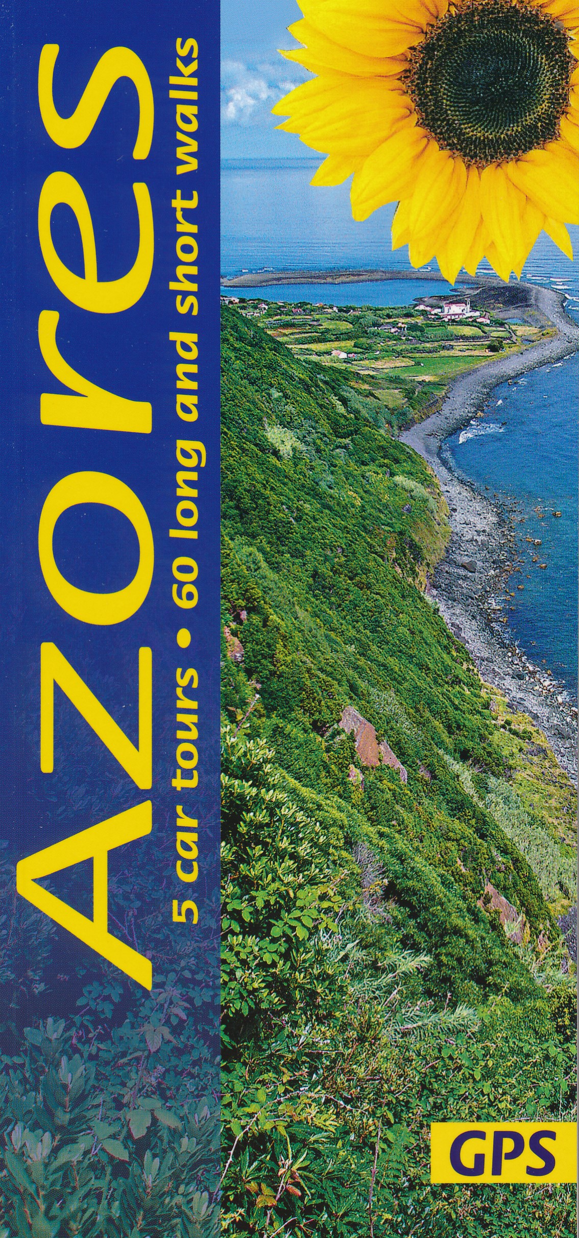
- Azores Sunflower Landscape Guide
- The Azores, nine islands in the Atlantic halfway between the Old World and the New, rise above sea level from a depth of several thousand metres. They are all volcanic in origin and all are covered in this guide.They are not the remains of the legendary continent of Atlantis, which is said to have sunk in the ocean once upon a time.... Read more
- Also available from:
- The Book Depository, United Kingdom
- De Zwerver, Netherlands

United Kingdom
2018
- Azores Sunflower Guide
- 60 long and short walks with detailed maps and GPS; 5 car tours with pull-out map Read more

United Kingdom
2019
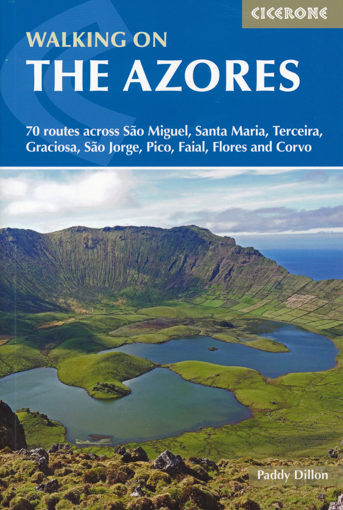
- Walking on the Azores: 70 routes across Sao Miguel, Santa Maria, Terceira, Graciosa, Sao Jorge, Pico, Faial, Flores and Corvo
- A comprehensive guide to walking in the Azores. The guidebook is divided into three island groups: Eastern Group (covering São Miguel and Santa Maria); Central Group (Terceira, Graciosa, São Jorge, Pico and Faial); and Western Group (Flores and Corvo). Most the 70 routes presented here use the Azores` official waymarked trail network and range... Read more
- Also available from:
- The Book Depository, United Kingdom
- De Zwerver, Netherlands

United Kingdom
2019
- Walking on the Azores
- 70 routes across Sao Miguel, Santa Maria, Terceira, Graciosa, Sao Jorge, Pico, Faial, Flores and Corvo Read more
Netherlands
2019
- Wandelgids Walking on the Azores - Azoren | Cicerone
- Guidebook to 70 walks on the Azores, a remote archipelago in the North Atlantic Ocean. Most of the walks are easy or moderate, with a few graded difficult. The selection is spread across all nine islands, offering much variety, from easy village-to-village walks to remote and mountainous walks, including Portugal's highest mountain, Pico. Read more

United Kingdom
2019
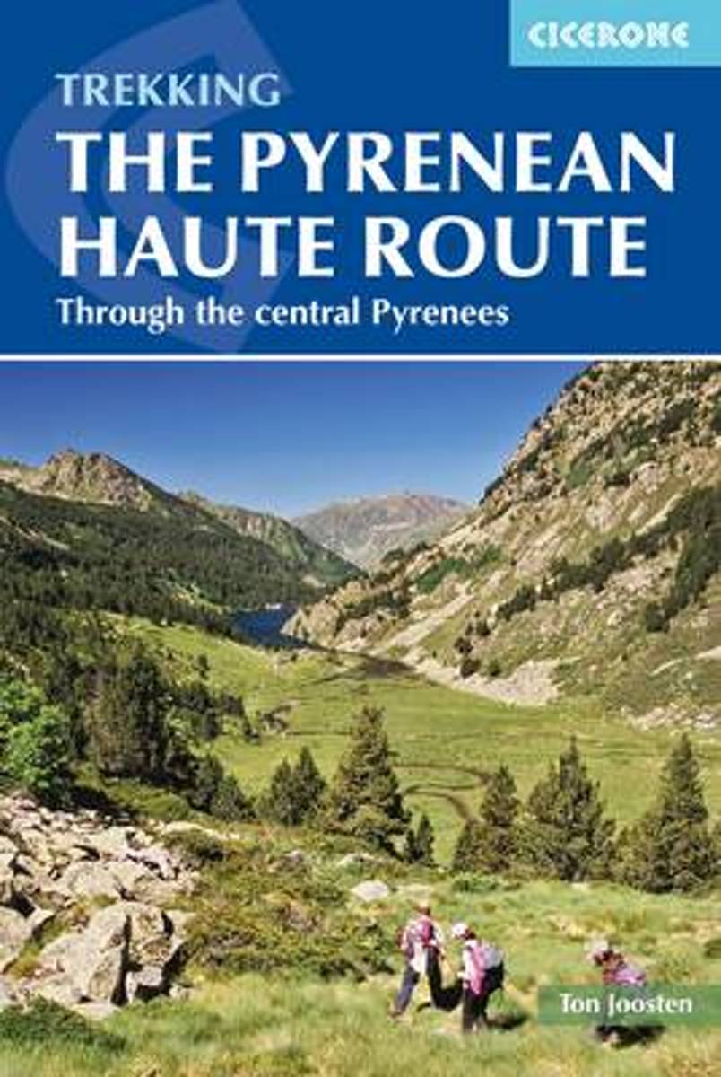
- The Pyrenean Haute Route
- There are three main trekking routes across the Pyrenees from coast to coast: of these, the Pyrenean Haute Route (or HRP for Haute Route Pyreneenne) is the most challenging - and arguably, the most spectacular. Unlike the GR10 and GR11, it is not waymarked and borders on mountaineering at times, sticking as closely as possible to the main... Read more
- Also available from:
- The Book Depository, United Kingdom
- De Zwerver, Netherlands


Netherlands
2022
- Wandelgids Pyrenean Haute Route - a high level trail, Pyreneeën HRP | Cicerone
- Guidebook to trekking the Pyrenean Haute Route, which zigzags across the Franco-Spanish border, staying close to the main ridge in the highest and most spectacular central Pyrenees. It covers 750km with over 40km of ascent, so is suitable for experienced mountain walkers only. The largely unwaymarked route is presented in 45 stages. Read more
Netherlands
- Hiking Between Pico Ruivo and Pico Arecibo Madeira Island Portugal Journal
- This journal with 150 ruled pages awaits your writing pleasure. You can use it to record your hopes and dreams, express your gratitude, to keep a bucket list, as a daily diary, or to jot down your To-Do lists. The possibilities are endless and the choice is all yours. Enjoy! Read more
- Also available from:
- Bol.com, Belgium
Belgium
- Hiking Between Pico Ruivo and Pico Arecibo Madeira Island Portugal Journal
- This journal with 150 ruled pages awaits your writing pleasure. You can use it to record your hopes and dreams, express your gratitude, to keep a bucket list, as a daily diary, or to jot down your To-Do lists. The possibilities are endless and the choice is all yours. Enjoy! Read more
Netherlands
- Wandelgids Spaanse Pyreneeen
- In dit vierde en laatste deel van de wandelgidsenserie over de Pyreneeën worden vijftig wandelingen beschreven in de Catalaanse Pyreneeën en Andorra. Het fameuze Parque Nacional d'Aiguestortes i Estany de Sant Maurici heeft een prominente plek in het boek. Het is het paradepaardje van Catalunya, met enkele honderden bergmeertjes temidden van... Read more
- Also available from:
- Bol.com, Belgium
Belgium
- Wandelgids Spaanse Pyreneeen
- In dit vierde en laatste deel van de wandelgidsenserie over de Pyreneeën worden vijftig wandelingen beschreven in de Catalaanse Pyreneeën en Andorra. Het fameuze Parque Nacional d'Aiguestortes i Estany de Sant Maurici heeft een prominente plek in het boek. Het is het paradepaardje van Catalunya, met enkele honderden bergmeertjes temidden van... Read more
Netherlands
- Wereldwijzer / Dominicaanse Republiek
- De Dominicaanse Republiek, iets groter dan Nederland, ligt in de helderblauwe Caribische Zee. Met zijn witte stranden is het een fantastisch vakantieland, waar meer te doen is dan alleen in de zon liggen. Watersporten aan de kust bij Puerto Plata en Punta Cana zijn erg populair. Mountainbikers en wandelaars kunnen de hoogste berg van het... Read more
- Also available from:
- Bol.com, Belgium
Belgium
- Wereldwijzer / Dominicaanse Republiek
- De Dominicaanse Republiek, iets groter dan Nederland, ligt in de helderblauwe Caribische Zee. Met zijn witte stranden is het een fantastisch vakantieland, waar meer te doen is dan alleen in de zon liggen. Watersporten aan de kust bij Puerto Plata en Punta Cana zijn erg populair. Mountainbikers en wandelaars kunnen de hoogste berg van het... Read more
Netherlands
2014
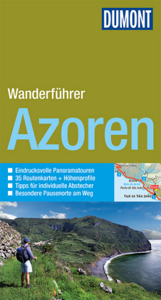
- Wandelgids Wanderfüher Azoren | Dumont
- Duitstalige wandelgids met goede beschrijvingen van de tochten, schetsmatige maar wel redelijke kaarten en heel wat praktische informatie per wandeling. Wandern durch die faszinierenden Landschaften der neun Azoreninseln mit Gipfelbesteigungen des Monte Escuro und Touren durch urwüchsige Wälder, über schroffe Felsküsten, zu gewaltigen... Read more
Netherlands
2012
- Azoren
- Neun grüne Perlen mitten im Atlantik - das sind die Azoren. Viele Träume und Geschichten umranken die Vulkaninseln, den Rest des sagenumwobenen Atlantis. Auf halbem Weg zwischen alter und neuer Welt liegt der weit verstreute Archipel fernab vom portugiesischen Mutterland in den Weiten des wilden Ozeans. Weit weg vom Massentourismus sind die... Read more
- Also available from:
- Bol.com, Belgium
Belgium
2012
- Azoren
- Neun grüne Perlen mitten im Atlantik - das sind die Azoren. Viele Träume und Geschichten umranken die Vulkaninseln, den Rest des sagenumwobenen Atlantis. Auf halbem Weg zwischen alter und neuer Welt liegt der weit verstreute Archipel fernab vom portugiesischen Mutterland in den Weiten des wilden Ozeans. Weit weg vom Massentourismus sind die... Read more
Netherlands
2012
- The Pyrenean Haute Route
- The Pyrenean High-Level Route is probably the most beautiful, spectacular and challenging trek in the Pyrenees. Unlike the GR10 and GR11, the trek from Hendaye to Banyuls-sur-Mer crosses the French Spanish border many times, exploring both sides of the mountain range and staying as close as possible to the main ridge of the Pyrenees. The 800km... Read more
- Also available from:
- Bol.com, Belgium
Belgium
2012
- The Pyrenean Haute Route
- The Pyrenean High-Level Route is probably the most beautiful, spectacular and challenging trek in the Pyrenees. Unlike the GR10 and GR11, the trek from Hendaye to Banyuls-sur-Mer crosses the French Spanish border many times, exploring both sides of the mountain range and staying as close as possible to the main ridge of the Pyrenees. The 800km... Read more
Netherlands
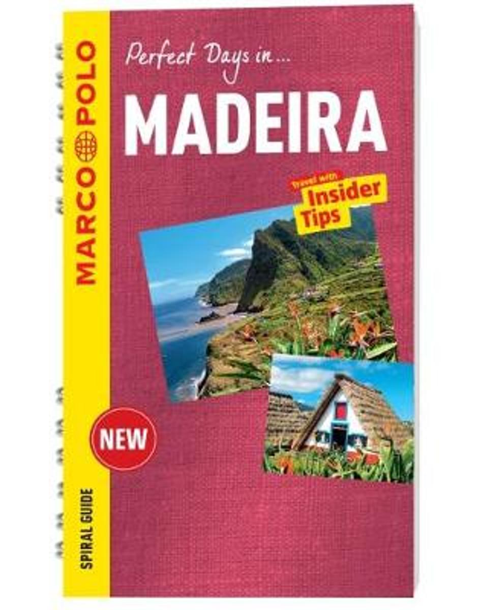
- Madeira Marco Polo Travel Guide - with pull out map
- Perfect Days in... Madeira. For advice you can trust, look no further than Marco Polo. The Madeira Marco Polo Travel Guide is a compact travel guide for people who have little time to prepare for a trip, don't want to miss anything, like to be inspired by great ideas for exciting days out and love all things ultra-practical and easy to use.... Read more
- Also available from:
- Bol.com, Belgium
Belgium
- Madeira Marco Polo Travel Guide - with pull out map
- Perfect Days in... Madeira. For advice you can trust, look no further than Marco Polo. The Madeira Marco Polo Travel Guide is a compact travel guide for people who have little time to prepare for a trip, don't want to miss anything, like to be inspired by great ideas for exciting days out and love all things ultra-practical and easy to use.... Read more
Netherlands
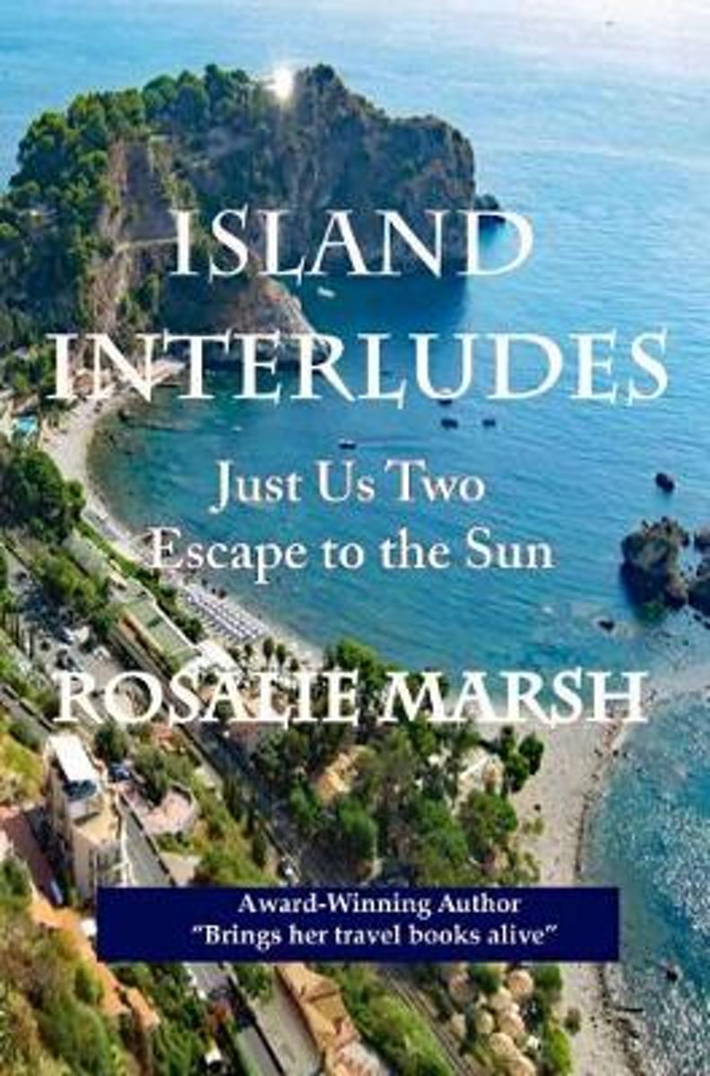
- Island Interludes
- "Romantic islands in the sun. Dreams of Sicily, Canary Islands, Malta, Cyprus, Madeira, and even further north to the distant Azores lying in the Atlantic Ocean. All of these I hungrily devoured from the pages of travel articles and over many years of looking at an atlas of the world. Everything seemed a distant dream until life had other... Read more
- Also available from:
- Bol.com, Belgium
Belgium
- Island Interludes
- "Romantic islands in the sun. Dreams of Sicily, Canary Islands, Malta, Cyprus, Madeira, and even further north to the distant Azores lying in the Atlantic Ocean. All of these I hungrily devoured from the pages of travel articles and over many years of looking at an atlas of the world. Everything seemed a distant dream until life had other... Read more
Maps
United Kingdom
- Faial - Feteira - Azores 6
- Topographic survey of Portugal at 1:25,000 from the Instituto Geográfico do Exército, the country’s military survey organisation.Map legend and a glossary of terms used on the maps include English.To see all the titles in this series please click on the series link. Read more
United Kingdom
- S. Jorge - Farol de Rosais - Azores 14
- Topographic survey of Portugal at 1:25,000 from the Instituto Geográfico do Exército, the country’s military survey organisation.Map legend and a glossary of terms used on the maps include English.To see all the titles in this series please click on the series link. Read more
United Kingdom
- Terceira - Biscoitos - Azores 22
- Topographic survey of Portugal at 1:25,000 from the Instituto Geográfico do Exército, the country’s military survey organisation.Map legend and a glossary of terms used on the maps include English.To see all the titles in this series please click on the series link. Read more
United Kingdom
- S. Miguel - North East - Azores 30
- Topographic survey of Portugal at 1:25,000 from the Instituto Geográfico do Exército, the country’s military survey organisation.Map legend and a glossary of terms used on the maps include English.To see all the titles in this series please click on the series link. Read more

United Kingdom
- Pico de Navachica CNIG Topographic Map 1041-III
- Topographic coverage of mainland Spain at 1:25,000 published by the Centro Nacional de Información Geograficá, the country’s civilian survey organization. The maps have contours at 10m intervals and colouring and/or graphics to show different types of vegetation or land use. Boundaries of national parks and other protected areas are marked. In... Read more
United Kingdom
- Faial - Horta - Azores 7
- Topographic survey of Portugal at 1:25,000 from the Instituto Geográfico do Exército, the country’s military survey organisation.Map legend and a glossary of terms used on the maps include English.To see all the titles in this series please click on the series link. Read more
United Kingdom
- S. Jorge - Velas - Azores 15
- Topographic survey of Portugal at 1:25,000 from the Instituto Geográfico do Exército, the country’s military survey organisation.Map legend and a glossary of terms used on the maps include English.To see all the titles in this series please click on the series link. Read more
United Kingdom
- Terceira - Praia da Vitoria - Azores 23
- Topographic survey of Portugal at 1:25,000 from the Instituto Geográfico do Exército, the country’s military survey organisation.Map legend and a glossary of terms used on the maps include English.To see all the titles in this series please click on the series link. Read more
United Kingdom
- S. Miguel - Arrifes - Azores 31
- Topographic survey of Portugal at 1:25,000 from the Instituto Geográfico do Exército, the country’s military survey organisation.Map legend and a glossary of terms used on the maps include English.To see all the titles in this series please click on the series link. Read more
United Kingdom
- Pico - S.Roque do Pico - Azores 8
- Topographic survey of Portugal at 1:25,000 from the Instituto Geográfico do Exército, the country’s military survey organisation.Map legend and a glossary of terms used on the maps include English.To see all the titles in this series please click on the series link. Read more
United Kingdom
- S. Jorge - Norte Grande - Azores 16
- Topographic survey of Portugal at 1:25,000 from the Instituto Geográfico do Exército, the country’s military survey organisation.Map legend and a glossary of terms used on the maps include English.To see all the titles in this series please click on the series link. Read more
United Kingdom
- Terceira - Angra do Heroismo - Azores 24
- Topographic survey of Portugal at 1:25,000 from the Instituto Geográfico do Exército, the country’s military survey organisation.Map legend and a glossary of terms used on the maps include English.To see all the titles in this series please click on the series link. Read more
United Kingdom
- S. Miguel - Ponta Delgada - Azores 32
- Topographic survey of Portugal at 1:25,000 from the Instituto Geográfico do Exército, the country’s military survey organisation.Map legend and a glossary of terms used on the maps include English.To see all the titles in this series please click on the series link. Read more
United Kingdom
- Flores North - Azores 1
- Topographic survey of Portugal at 1:25,000 from the Instituto Geográfico do Exército, the country’s military survey organisation.Map legend and a glossary of terms used on the maps include English.To see all the titles in this series please click on the series link. Read more
United Kingdom
- Pico - Prainha de Cima - Azores 9
- Topographic survey of Portugal at 1:25,000 from the Instituto Geográfico do Exército, the country’s military survey organisation.Map legend and a glossary of terms used on the maps include English.To see all the titles in this series please click on the series link. Read more