
Schwarzwald
Description

The Black Forest, or Schwarzwald, is named after the huge firs that cover vast contiguous areas. If you don't like pine, then the Black Forest might not be the best destination for you. The west of Germany's most impressive mountain range – next to the Alps - is the most forested. Here you will find the highest tops and the best views. Highest mountain is the Feldberg, 1493m. The Westweg links the best parts together.
To the east, the terrain become flatter, and there is more alternation with farmland. The Ostweg introduces you to this lesser known part of the Black Forest. Here you will walk closer to the Danube than to the Rhine, and the views extend to the Swabian Jura.
Above we already mentioned two of the most famous hiking trails: the Westweg, founded in 1900, and the Ostweg. In between is the Mittelweg. All three long distance paths start in Pforzheim and fan southward to finish at river Rhine near the Swiss border.
There are also about 20 other fantastic long distance footpaths. These follow beautiful valleys, have certain themes, or cross the mountains from west to east. The best place to start your search for information is the website of the Schwarzwaldvereins.
Day hikers will be happy too. Everywhere they will find well documented and marked hiking trails.
Tourism – including walking tourism - has a long history in the Black Forest. Hotels and Gasthäuser have been in existence for often more than a century, handed over from one generation to the next. In every village and on every mountain you'll find something, usually opan all year. There are also some 30 Wanderheime, uncostly and pleasant accommodations.
Trails in this region
- Breisgauer WeinwegGPX
- E1GPX
- E8GPX
- GäurandwegGPX
- Gernsbacher RundeGPX
- Hansjakobweg I (Kleiner Hansjakobweg)GPX
- Hansjakobweg II (Großer Hansjakobweg)GPX
- Hochrhein HöhenwegGPX
- Hotzenwald QuerwegGPX
- Jakobsweg Breisach - Cluny
- Jakobsweg Waldshut-Vézelay
- Kandel HöhenwegGPX
- Main-Neckar-RheinwegGPX
- Markgräfler Wiwegli
- MittelwegGPX
- MurgleiterGPX
- Ortenauer WeinpfadGPX
- OstwegGPX
- Panoramaweg Baden-BadenGPX
- Querweg Freiburg-BodenseeGPX
- Querweg Gengenbach-Alpirsbach
- Querweg Lahr-RottweilGPX
- Querweg Schwarzwald-Kaiserstuhl-RheinGPX
- RenchtalsteigGPX
- RheinauenwegGPX
- SchluchtensteigGPX
- Schwarzwald Nordrand WegGPX
- Schwarzwald-Jura-Bodensee-WegGPX
- Schwarzwald-Schwäbische Alb-Allgäu-WegGPX
- WestwegGPX
- ZweitälersteigGPX
Links
Facts
Reports
Guides and maps
Lodging
Organisations
Tour operators
GPS
Other
Books

United Kingdom
- Twelve Nights
- Discover this beautiful winter gem of a novella that makes the perfect stocking filler this Christmas.`I may have been gone a long time, but I`m no stranger...` Manfred walks alone through a snowy valley, surrounded by his memories, on a pilgrimage of sorts to his childhood home. He`s been estranged from his brother Sebastian for decades, ever... Read more

United Kingdom
- Black Forest: Triberg 35K Kümmerly + Frey Map No. 40
- Black Forest: Triberg area at 1:35,000 from Kümmerly+Frey in a series GPS compatible, double-sided maps printed on durable, waterproof and tear-resistant plastic paper; contoured, with hiking and cycle routes, other recreational activities, etc. Maps in this series are at a scale of either 1:50,000 or 1:35,000. Contour interval varies from 10m... Read more

United Kingdom
- Hiking and Cycling in the Black Forest
- Walks, treks and cycle rides in southern Germany Read more

United Kingdom
2019
- Also available from:
- De Zwerver, Netherlands


Netherlands
2024
Netherlands
2016
- Lonely Planet Munich, Bavaria & the Black Forest
- Lonely Planet: The world's leading travel guide publisherLonely Planet Munich, Bavaria & the Black Forest is your passport to the most relevant, up-to-date advice on what to see and skip, and what hidden discoveries await you. Join in the festivities at Munich's Oktoberfest, step into the Schloss Neuschwanstein fairytale castle, or hike among... Read more
- Also available from:
- Bol.com, Belgium
Belgium
2016
- Lonely Planet Munich, Bavaria & the Black Forest
- Lonely Planet: The world's leading travel guide publisherLonely Planet Munich, Bavaria & the Black Forest is your passport to the most relevant, up-to-date advice on what to see and skip, and what hidden discoveries await you. Join in the festivities at Munich's Oktoberfest, step into the Schloss Neuschwanstein fairytale castle, or hike among... Read more
Netherlands
- Deutschlands H Chste Gipfel
- In Deutschland kennt jeder Feldberg, Brocken und Zugspitze. Aber wo liegt das ''Land der 10 Tausender'', und wie heißt der höchste Berg Brandenburgs? Was sind Fuchskaute und Entenbühl, liegt der Schwarzwälder Hochwald im Schwarzwald, und was muss man sich unter der Großen Blöße vorstellen? Alle Antworten finden sich in diesem Buch, in dem nicht... Read more
- Also available from:
- Bol.com, Belgium
Belgium
- Deutschlands H Chste Gipfel
- In Deutschland kennt jeder Feldberg, Brocken und Zugspitze. Aber wo liegt das ''Land der 10 Tausender'', und wie heißt der höchste Berg Brandenburgs? Was sind Fuchskaute und Entenbühl, liegt der Schwarzwälder Hochwald im Schwarzwald, und was muss man sich unter der Großen Blöße vorstellen? Alle Antworten finden sich in diesem Buch, in dem nicht... Read more
Netherlands
- Journey Through the Black Forest
- Dark woods, fertile meadows, gushing streams, and romantic gorges represent the diverse scenery of Germanys Black Forest in this travel companion. The region is illustrated as a place where ancient traditions have been carefully preserved on lonely farmsteads, in traditional costumes, and during the traditional Alemannic carnival. The... Read more
- Also available from:
- Bol.com, Belgium
Belgium
- Journey Through the Black Forest
- Dark woods, fertile meadows, gushing streams, and romantic gorges represent the diverse scenery of Germanys Black Forest in this travel companion. The region is illustrated as a place where ancient traditions have been carefully preserved on lonely farmsteads, in traditional costumes, and during the traditional Alemannic carnival. The... Read more
Netherlands
2022
Netherlands
2012
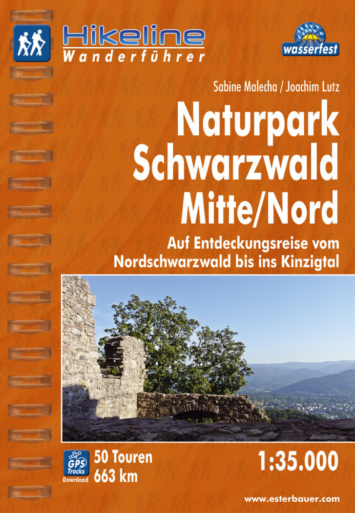
- Wandelgids Hikeline Wandelgids Naturpark Schwarzwald Mitte | Esterbauer
- Handzame gids met een goede beschrijving van een groot aantal dagtochten in dit gebied. De gids is in spiraalbinding en elke pagina is op scheur- en watervast papier gedrukt. Daar is echt over nagedacht! Neben den Wäldern zeichnen den Schwarzwald seine offenen Flächen, seine Wiesen und Weiden aus. So abwechslungsreich wie die Landschaft sind... Read more
Netherlands
2021
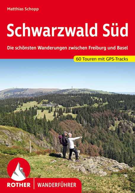
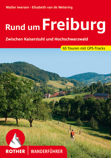
- Wandelgids Rund um Freiburg | Rother Bergverlag
- Zwischen Kaiserstuhl und Hochschwarzwald. 60 Touren. Mit GPS-Daten Rother Wanderbuch. 2., aktualisierte Auflage. Read more

Netherlands
2017
- Wandelgids 411 Kautokeino - Nordkap E1 | Conrad Stein Verlag
- Handzaam boekje met de routebeschrijving inclusief een heleboel praktische informatie. De beschrijving is uitstekend, maar kaarten zijn wat beperkt. Duits. Die 330 km lange Wanderung auf dem E1 von Kautokeino zum Nordkap ist ein unvergessliches Wanderabenteuer. In 15 Etappen laufen Sie durch die Wildnis Nordnorwegens und überqueren die... Read more
Netherlands
2017
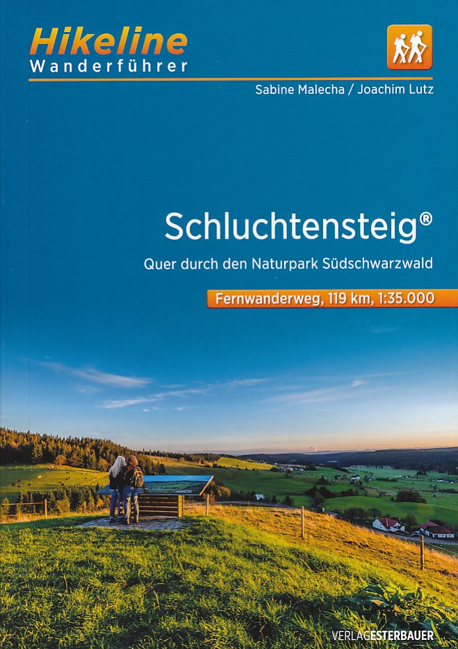
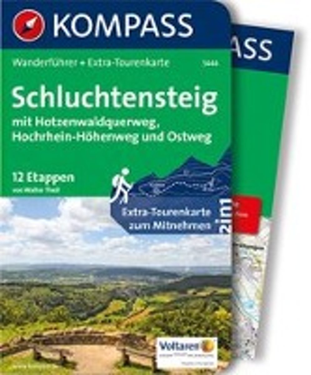
- WF5444 Schluchtensteig, mit Hotzenwaldquerweg, Hochrhein-Höhenweg und Ostweg Kompass
- De Kompass wandelgids + kaart geeft een overzicht van alle wandelroutes in het gebied met nauwkeurige routeaanwijzingen en hoogteaanduidingen, De extra grote kaart, schaal 1:35 000, is ideaal om van te voren uw route uit te stippelen en om onderweg te gebruiken; naast de bekende bestemmingen, worden ook de minder bekende vermeld; openbaar... Read more
- Also available from:
- Bol.com, Belgium
Belgium
2017
- WF5444 Schluchtensteig, mit Hotzenwaldquerweg, Hochrhein-Höhenweg und Ostweg Kompass
- De Kompass wandelgids + kaart geeft een overzicht van alle wandelroutes in het gebied met nauwkeurige routeaanwijzingen en hoogteaanduidingen, De extra grote kaart, schaal 1:35 000, is ideaal om van te voren uw route uit te stippelen en om onderweg te gebruiken; naast de bekende bestemmingen, worden ook de minder bekende vermeld; openbaar... Read more
Maps

United Kingdom
- Black Forest North Kompass 2-Map Set 886
- The northern part of the Black Forest on a set of two double-sided, GPS compatible maps at 1:50,000 from Kompass with local and long-distance footpaths, cycling routes, accommodation, etc. Coverage extends from Rastatt and Pforzheim south to Schramberg and includes Baden-Baden, Offenburg, Lahr and the northern part of the Naturpark Schwarzwald.... Read more

United Kingdom
- Alta Valle del Lamone 22
- Map No. 22, Alta Valle del Lamone: Alto Appennino Faentino – Anello di Marradi, in series of contoured, GPS compatible hiking maps at 1:25,000 from the Istituto Geografico Adriatico, covering mainly the spine of the Apennines along the borders of Tuscany, Emilia-Romagna, Umbria and the Marches.Map in this series have contours at 25m intervals... Read more

United Kingdom
- Appennino Tosco-Romagnolo East
- Map No. 135, Appennino Tosco-Romagnolo East, in a series of GPS compatible hiking maps at 1:50,000 from the Istituto Geografico Adriatico, covering parts of central Italy: eastern Tuscany, with northern Umbria and the Marches, plus the south-eastern of part of Emilia-Romagna.The maps have contours at 50m intervals with additional shading and... Read more

United Kingdom
- Monte Carpegna - Sasso di Simone
- Map No. 16, Monte Carpegna - Sasso di Simone, in series of contoured, GPS compatible hiking maps at 1:25,000 from the Istituto Geografico Adriatico, covering mainly the spine of the Apennines along the borders of Tuscany, Emilia-Romagna, Umbria and the Marches.Map in this series have contours at 25m intervals with additional shading and... Read more

United Kingdom
- Alta Val Tiberina
- Map No. 125, Alta Val Tiberina, in a series of GPS compatible hiking maps at 1:50,000 from the Istituto Geografico Adriatico, covering parts of central Italy: eastern Tuscany, with northern Umbria and the Marches, plus the south-eastern of part of Emilia-Romagna.The maps have contours at 50m intervals with additional shading and numerous spot... Read more

United Kingdom
- Foreste Casentinesi NP Monti Editore 20
- Map No. 20, Foreste Casentinesi: Campigna, Camaldoli, Chiusi dell Verna, in series of contoured, GPS compatible hiking maps at 1:25,000 from the Istituto Geografico Adriatico, covering mainly the spine of the Apennines along the borders of Tuscany, Emilia-Romagna, Umbria and the Marches.Map in this series have contours at 25m intervals with... Read more
United Kingdom
- Baden-Baden - Murgtal - Gaggenau Kompass 872
- Baden-Baden – Murgtal area of the Black Forest in a detailed, GPS compatible map at 1:50,000 from Kompass with local and long-distance footpaths, cycling routes, accommodation, etc, printed on durable, waterproof and tear-resistant synthetic paper. KOMPASS HIKING & RECREATIONAL MAPS:This title is part of an extensive series covering Austria,... Read more
United Kingdom
- Riviera Cesenate - San Marino
- Map No. 128, Riviera Cesenate - San Marino, in a series of GPS compatible hiking maps at 1:50,000 from the Istituto Geografico Adriatico, covering parts of central Italy: eastern Tuscany, with northern Umbria and the Marches, plus the south-eastern of part of Emilia-Romagna.The maps have contours at 50m intervals with additional shading and... Read more

United Kingdom
- Black Forest: Freudenstadt 35K Kümmerly + Frey Map No. 39
- Black Forest: Freudenstadt area at 1:35,000 from Kümmerly+Frey in a series GPS compatible, double-sided maps printed on durable, waterproof and tear-resistant plastic paper; contoured, with hiking and cycle routes, other recreational activities, etc. Maps in this series are at a scale of either 1:50,000 or 1:35,000. Contour interval varies from... Read more

United Kingdom
- Neckar Valley Cycle Route - Source to Mannheim Bikeline Map-Guide
- Neckar Cycle Route, a 367-km long cycle route from the source of the Neckar in the Black Forest across Stuttgart and Heidelberg to the Rhine at Mannheim, presented by the Verlag Esterbauer in a guide with maps at 1:50,000 showing the route and its variants. Extensive information is conveyed by symbols, indicating road surface, campsites and... Read more
United Kingdom
- Alta Val Marecchia
- Map No. 126, Alta Val Marecchia, in a series of GPS compatible hiking maps at 1:50,000 from the Istituto Geografico Adriatico, covering parts of central Italy: eastern Tuscany, with northern Umbria and the Marches, plus the south-eastern of part of Emilia-Romagna.The maps have contours at 50m intervals with additional shading and numerous spot... Read more
United Kingdom
- Colline di Rimini
- Map No. 124, Colline di Rimini, in a series of GPS compatible hiking maps at 1:50,000 from the Istituto Geografico Adriatico, covering parts of central Italy: eastern Tuscany, with northern Umbria and the Marches, plus the south-eastern of part of Emilia-Romagna. This title covers the holiday resorts on the Adriatic coast around Rimini,... Read more

United Kingdom
- Lahr –Rheinauen – Taubergießen - Kinzigtal
- Lahr –Rheinauen – Taubergießen – Kinzigtal area of central Black Forest on a detailed, GPS compatible map at 1:25,000 from Kompass with local and long-distance footpaths, cycling routes, accommodation, etc, printed on durable, waterproof and tear-resistant synthetic paper.KOMPASS HIKING & RECREATIONAL MAPS: this title is part of an extensive... Read more
United Kingdom
- Black Forest Complete 4-Map Set Kompass 888
- The whole of the Black Forest on a set of four double-sided, GPS compatible and contoured maps at 1:50,000 from Kompass with local and long-distance footpaths, cycling routes, accommodation, etc. Coverage extends from Ratstatt and Pforzheim north of Baden-Baden to Basel and the east/west section of the Rhine.KOMPASS HIKING & RECREATIONAL MAPS:... Read more