
Nordrhein-Westfalen
Description
Trails in this state
- Ahr-Venn-WegGPX
- AhrtalwegGPX
- Bückebergweg
- BurgensteigGPX
- Christine Kochweg GPX
- E1GPX
- E11GPX
- E8GPX
- Eder HöhenwegGPX
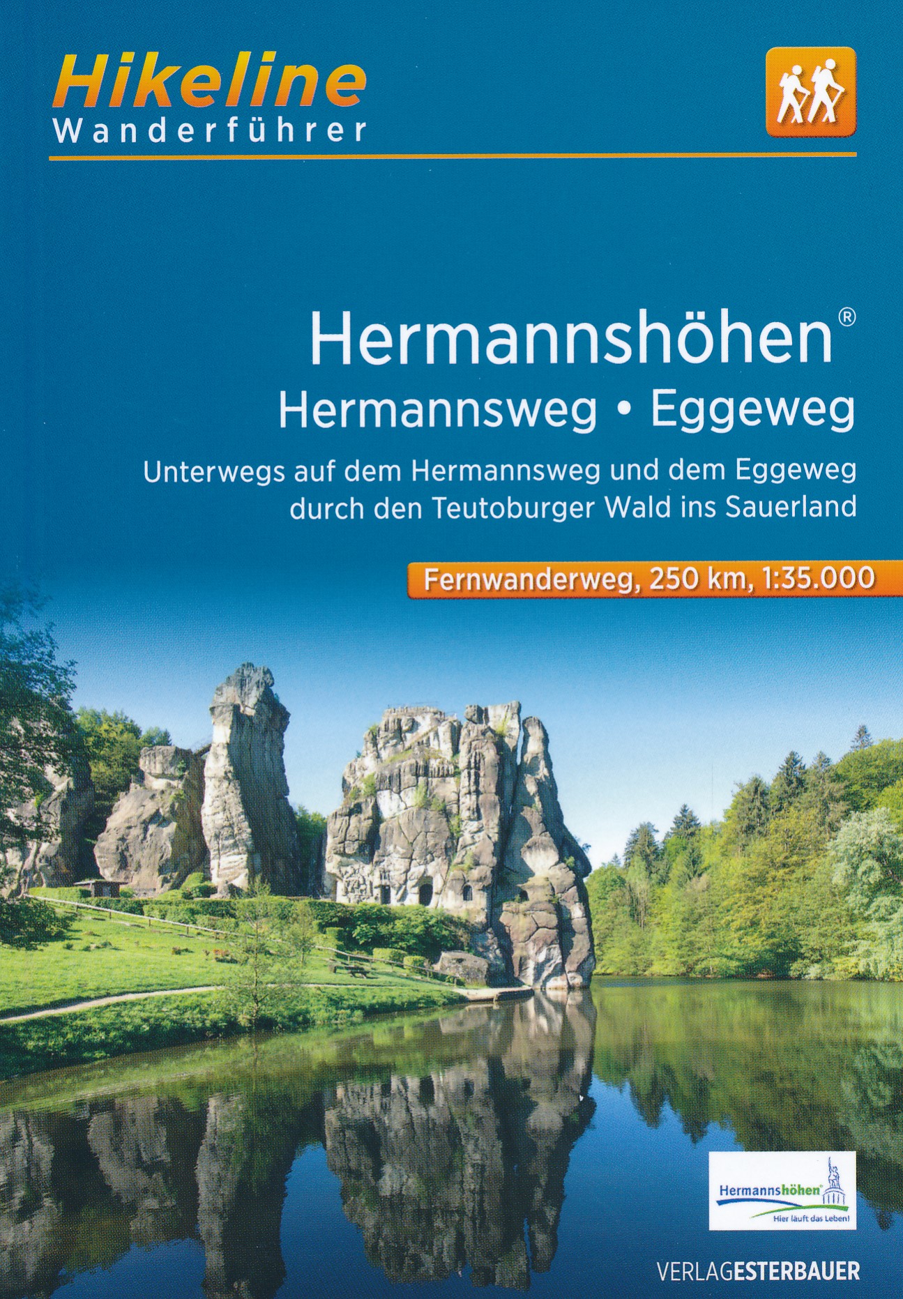
- EggewegGPX
- EhmsenwegGPX
- EifelsteigGPX
- ElisabethpfadGPX
- EmmerwegGPX
- Ems-Hase-Hunte-ElsewegGPX
- EmswegGPX
- Erft-Lieser-Mosel-Weg GPX
- GR15 - AE - Ardennes-EifelGPX
- Graf EngelbertwegGPX
- HansawegGPX
- HermannshöhenGPX
- HermannswegGPX
- Hessenweg 2GPX
- Hessenweg 4GPX
- Hessenweg 6GPX
- Jacobspad LimburgGPX
- Josef-Schramm-Weg GPX
- Kaiser OttowegGPX
- Karl-Kaufmann-WegGPX
- KarolingerwegGPX
- KölnpfadGPX
- KrönungswegGPX
- LahnhöhenwegGPX
- LönspfadGPX
- Maas-NiederrheinpadGPX
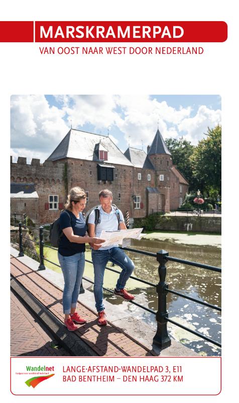
- MarskramerpadGPX
- MatthiaswegGPX
- MühlensteigGPX
- MühlenwegGPX
- Medebacher BergwegGPX
- MoselhöhenwegGPX
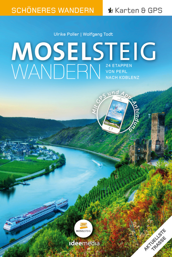
- MoselsteigGPX
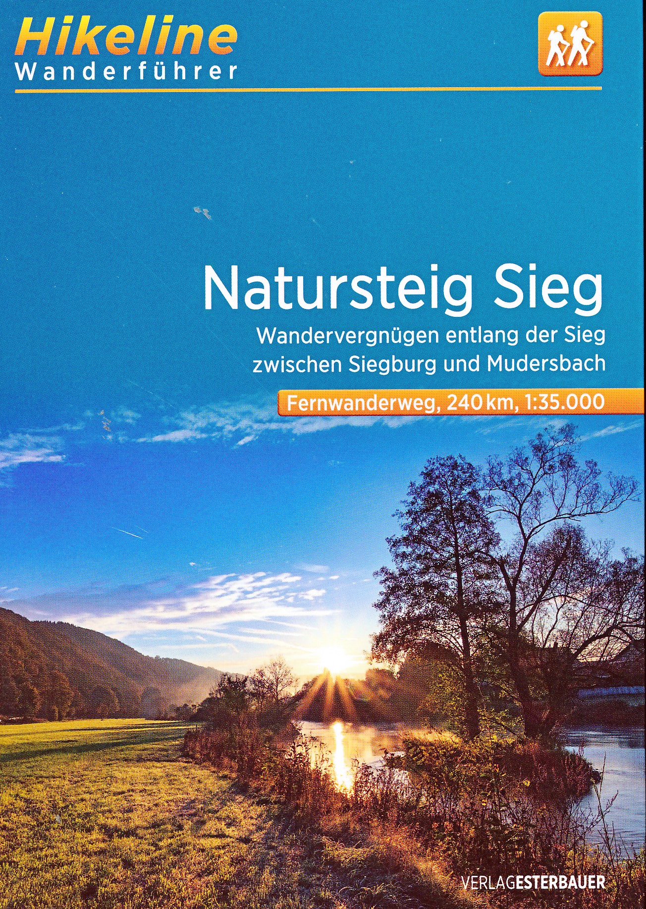
- Natursteig SiegGPX
- NiederrheinwegGPX
- NoaberpadGPX
- Oude IJssel-Rijnpad
- PlackwegGPX
- Römerkanal WanderwegGPX
- RennwegGPX
- Rhein-Kyll-WegGPX
- Rhein-Rureifel-Weg GPX
- RheinhöhenwegGPX
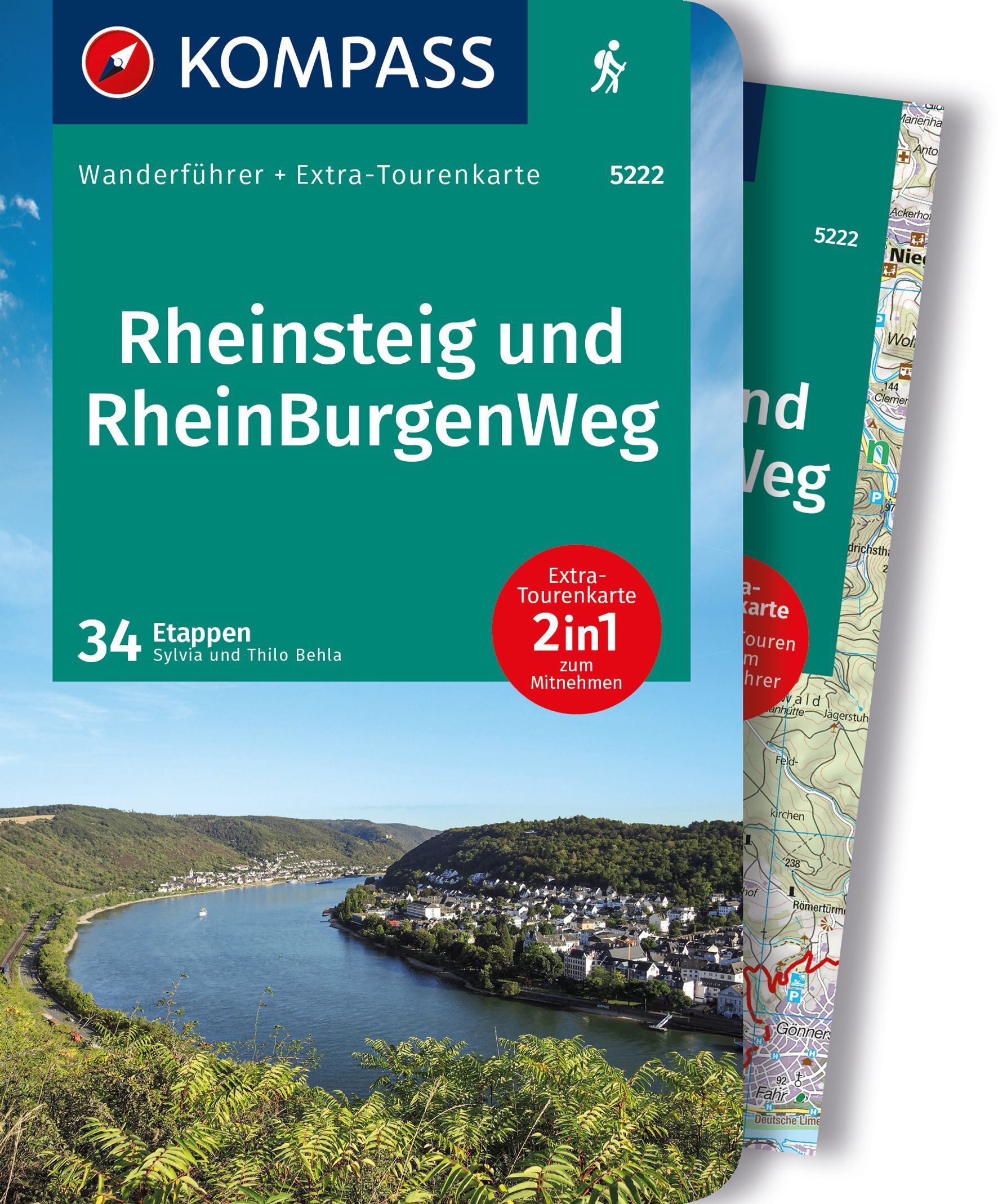
- RheinsteigGPX
- RothaarsteigGPX
- RothaarwegGPX
- Ruhr HöhenwegGPX
- RunenwegGPX
- Sauerland WaldrouteGPX
- Siegerland HöhenringGPX
- Sintfeld HöhenwegGPX
- TalsperrenwegGPX
- TöddenwegGPX
- VulkanwegGPX
- Wanderweg der Deutschen EinheitGPX
- WeserberglandwegGPX
- WesergebirgswegGPX
- Westfalen WanderwegGPX
- Wildnis TrailGPX
- WillibrorduswegGPX
- Winterberger HochtourGPX
- WupperwegGPX
Links
Facts
Reports
Guides and maps
Lodging
Organisations
Tour operators
GPS
Other
Books

Stanfords
United Kingdom
United Kingdom
- Münsterland 3-Map Set Kompass 849
- The Münsterland region of North Rhine-Westphalia on a set of three detailed, GPS compatible maps at 1:50,000 from Kompass with local and long-distance footpaths, cycling routes, accommodation, etc. Coverage extends north to Osnabrück and Enschede in the Netherlands, and south to Hamm and Reckinghausen.KOMPASS HIKING & RECREATIONAL MAPS:This... Read more
- Also available from:
- De Zwerver, Netherlands

De Zwerver
Netherlands
2022
Netherlands
2022

- Also available from:
- De Zwerver, Netherlands
De Zwerver
Netherlands
2020
Netherlands
2020
- Wandelgids Moselsteig | IdeeMedia
- 24 traumhafte Etappen auf Deutschlands jüngstem Fernwanderweg Read more

De Zwerver
Netherlands
2017
Netherlands
2017
- Wandelgids 411 Kautokeino - Nordkap E1 | Conrad Stein Verlag
- Handzaam boekje met de routebeschrijving inclusief een heleboel praktische informatie. De beschrijving is uitstekend, maar kaarten zijn wat beperkt. Duits. Die 330 km lange Wanderung auf dem E1 von Kautokeino zum Nordkap ist ein unvergessliches Wanderabenteuer. In 15 Etappen laufen Sie durch die Wildnis Nordnorwegens und überqueren die... Read more
Bol.com
Netherlands
Netherlands
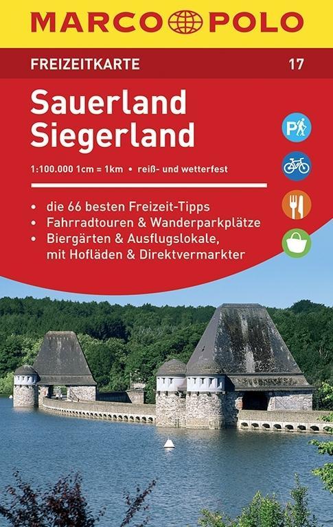
- Marco Polo FZK17 Sauerland, Siegerland
- Een kaart en een reisgids in een handige omslag van stevig plastic, Op de kaart worden bezienswaardigheden aangegeven en heel kort beschreven met een afbeelding erbij, In de gids is de gedetailleerde informatie te vinden, Ook de op de kaart gemarkeerde wandel- en fietstochten worden in de gids beschreven, Door de gebruikte kleuren is alle... Read more
- Also available from:
- Bol.com, Belgium
Bol.com
Belgium
Belgium
- Marco Polo FZK17 Sauerland, Siegerland
- Een kaart en een reisgids in een handige omslag van stevig plastic, Op de kaart worden bezienswaardigheden aangegeven en heel kort beschreven met een afbeelding erbij, In de gids is de gedetailleerde informatie te vinden, Ook de op de kaart gemarkeerde wandel- en fietstochten worden in de gids beschreven, Door de gebruikte kleuren is alle... Read more
De Zwerver
Netherlands
2021
Netherlands
2021
De Zwerver
Netherlands
2015
Netherlands
2015
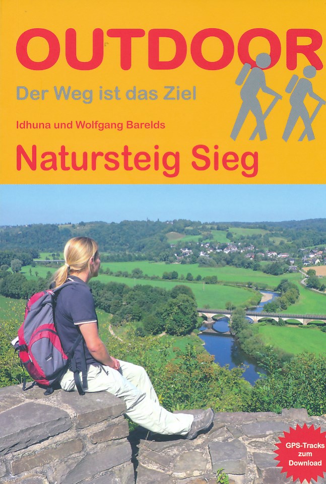
- Wandelgids Natursteig Sieg | Conrad Stein Verlag
- Handzaam boekje met de routebeschrijving inclusief een heleboel praktische informatie. De beschrijving is uitstekend, maar kaarten zijn beperkt en schetsmatig aanwezig. Duits. Der Natursteig Sieg wurde im April 2011 als viel gelobter Fernwanderweg in Deutschland eröffnet. Auf fast 200 km Länge führt er entlang der Sieg von Siegburg nahe der... Read more
De Zwerver
Netherlands
2023
Netherlands
2023
Bol.com
Netherlands
2019
Netherlands
2019
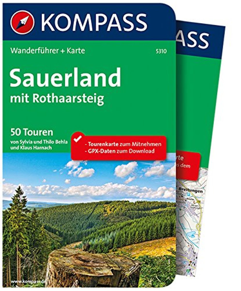
- WF5310 Sauerland Kompass
- De Kompass wandelgids + kaart geeft een overzicht van alle wandelroutes in het gebied met nauwkeurige routeaanwijzingen en hoogteaanduidingen. De extra grote kaart, schaal 1:35 000, is ideaal om van te voren uw route uit te stippelen en om onderweg te gebruiken • naast de bekende bestemmingen, worden ook de minder bekende vermeld • openbaar... Read more
- Also available from:
- Bol.com, Belgium
Bol.com
Belgium
2019
Belgium
2019
- WF5310 Sauerland Kompass
- De Kompass wandelgids + kaart geeft een overzicht van alle wandelroutes in het gebied met nauwkeurige routeaanwijzingen en hoogteaanduidingen. De extra grote kaart, schaal 1:35 000, is ideaal om van te voren uw route uit te stippelen en om onderweg te gebruiken • naast de bekende bestemmingen, worden ook de minder bekende vermeld • openbaar... Read more
De Zwerver
Netherlands
2013
Netherlands
2013
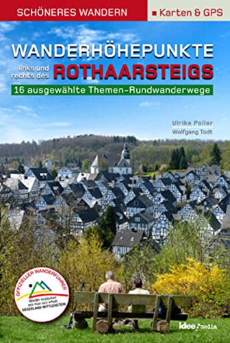
- Wandelgids Wanderhöhepunkte rechts und links des Rothaarsteigs | IdeeMedia
- 12 traumhafte neue Rundtouren im Siegerland. Neuerscheinung. Read more
De Zwerver
Netherlands
2017
Netherlands
2017
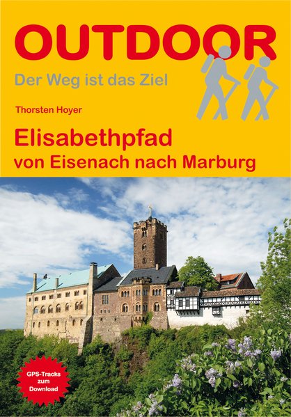
- Wandelgids Elisabethpfad von Eisenach nach Marburg | Conrad Stein Verlag
- Travel & Languages Travel (special interest) Guides (general) International Books Read more

De Zwerver
Netherlands
2021
Netherlands
2021
De Zwerver
Netherlands
2012
Netherlands
2012
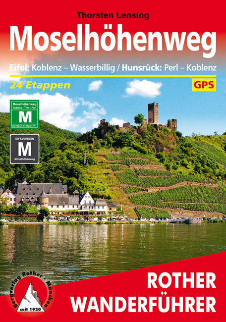
- Wandelgids Moselhöhenweg | Rother Bergverlag
- Duitstalige wandelgids met zeer goed beschreven wandelingen in de wandelgebieden. Redelijk kaartmateriaal, vooral de beschrijving van de route en de praktische info die er bij hoort is goed. 152 Seiten mit 86 Farbabbildungen 24 Höhenprofile, 25 Wanderkärtchen im Maßstab 1:75.000, eine Übersichtskarte im Maßstab 1:600.000 Wer einmal mit dem Zug... Read more
Maps

Stanfords
United Kingdom
United Kingdom
- Pegnitz E11
- Pegnitz in a series of GPS compatible recreational editions of the Bavarian topographic survey at 1:25,000, with waymarked hiking trails and cycling routes, campsites and youth hostels, etc. Coverage includes Creußen, Ahorntal, Pottenstein, Glashütten, Hummeltal, Schnabelwaid.Contours used in this map vary between 5 to 20m according to the... Read more

Stanfords
United Kingdom
United Kingdom
- Alta Val Tiberina
- Map No. 125, Alta Val Tiberina, in a series of GPS compatible hiking maps at 1:50,000 from the Istituto Geografico Adriatico, covering parts of central Italy: eastern Tuscany, with northern Umbria and the Marches, plus the south-eastern of part of Emilia-Romagna.The maps have contours at 50m intervals with additional shading and numerous spot... Read more

Stanfords
United Kingdom
United Kingdom
- Hohe Mark Naturpark - Westmunsterland 2-Map Set Kompass 753
- Hohe Mark Regional Park in a detailed, GPS compatible map at 1:50,000 from Kompass with local and long-distance footpaths, cycling routes, accommodation, etc.KOMPASS HIKING & RECREATIONAL MAPS:This title is part of an extensive series covering Austria, much of Germany and the Slovenian Alps. Kompass are Europe’s largest publishers of hiking... Read more
Stanfords
United Kingdom
United Kingdom
- Cologne - Bruhl - Bonn - Ahrtal Kompass 758
- Cologne - Brühl - Bonn- Ahrtal area of the Rhineland on a detailed, GPS compatible map at 1:50,000 from Kompass with local and long-distance footpaths, cycling routes, accommodation, etc, printed on durable, waterproof and tear-resistant synthetic paper.KOMPASS HIKING & RECREATIONAL MAPS: this title is part of an extensive series covering... Read more

Stanfords
United Kingdom
United Kingdom
- Cologne - Bonn
- Cologne – Bonn on a waterproof, tear-resistant, GPS compatible cycling map at 1:75,000 from the ADFC (Allgemeiner Deutscher Fahrrad-Club - the official German cycling federation), in a series of maps with extensive overprint for long-distance and local cycling routes. GPS waypoints, route profiles, details of online links for information about... Read more

Stanfords
United Kingdom
United Kingdom
- Alta Valle del Santerno 23
- Map No. 22, Alta Valle del Lamone: Alto Appennino Faentino – Anello di Marradi, in series of contoured, GPS compatible hiking maps at 1:25,000 from the Istituto Geografico Adriatico, covering mainly the spine of the Apennines along the borders of Tuscany, Emilia-Romagna, Umbria and the Marches.Map in this series have contours at 25m intervals... Read more
Stanfords
United Kingdom
United Kingdom
- Colline di Rimini
- Map No. 124, Colline di Rimini, in a series of GPS compatible hiking maps at 1:50,000 from the Istituto Geografico Adriatico, covering parts of central Italy: eastern Tuscany, with northern Umbria and the Marches, plus the south-eastern of part of Emilia-Romagna. This title covers the holiday resorts on the Adriatic coast around Rimini,... Read more
Stanfords
United Kingdom
United Kingdom
- Riviera Cesenate - San Marino
- Map No. 128, Riviera Cesenate - San Marino, in a series of GPS compatible hiking maps at 1:50,000 from the Istituto Geografico Adriatico, covering parts of central Italy: eastern Tuscany, with northern Umbria and the Marches, plus the south-eastern of part of Emilia-Romagna.The maps have contours at 50m intervals with additional shading and... Read more

Stanfords
United Kingdom
United Kingdom
- Hermannsweg und Eggeweg - die Hermannshohen Kompass Long-distance Trail Map 2504
- Hermannsweg plus Eggeweg, a combined 218km long-distance hiking trail in north-western Germany between Rheine and Marsberg along the Teutoburger Wald and hills of the Eggegebirge. The route is presented on 18 panels, accompanied by street plans of Rheine, Bielefeld, Horn-Bad Mainberg and Marsberg.Maps in this new series from Kompass, begun in... Read more
Stanfords
United Kingdom
2022
United Kingdom
2022
- Eifelsteig long-distance Trail Kompass 2502
- The Eifelsteig, a 310km long-distance hiking trail from Kornelimünster near Aachen to Trier, crossing some of the most picturesque towns of the Eifel, including Monschau, Blankenheim, Gerolstein and Daun. The route is presented on 18 panels, accompanied by street plans of Kornelimünster, Monschau, Gerolstein and Trier.Maps in this new series... Read more
Stanfords
United Kingdom
United Kingdom
- Colline di Forlí
- Map No. 127, Colline di Forlí, in a series of GPS compatible hiking maps at 1:50,000 from the Istituto Geografico Adriatico, covering parts of central Italy: eastern Tuscany, with northern Umbria and the Marches, plus the south-eastern of part of Emilia-Romagna.The maps have contours at 50m intervals with additional shading and numerous spot... Read more

Stanfords
United Kingdom
United Kingdom
- Bergisches Land - Cologne - Dusseldorf Cycling Map
- Bergisches Land - Cologne – Dusseldorf on a waterproof, tear-resistant, GPS compatible cycling map at 1:75,000 from the ADFC (Allgemeiner Deutscher Fahrrad-Club - the official German cycling federation), in a series of maps with extensive overprint for long-distance and local cycling routes. GPS waypoints, route profiles, details of online... Read more
Stanfords
United Kingdom
United Kingdom
- Alta Val Marecchia
- Map No. 126, Alta Val Marecchia, in a series of GPS compatible hiking maps at 1:50,000 from the Istituto Geografico Adriatico, covering parts of central Italy: eastern Tuscany, with northern Umbria and the Marches, plus the south-eastern of part of Emilia-Romagna.The maps have contours at 50m intervals with additional shading and numerous spot... Read more

Stanfords
United Kingdom
United Kingdom
- Aachen - Dreilandereck Cycling Map
- Aachen – Dreilandereck area on a waterproof, tear-resistant, GPS compatible cycling map at 1:75,000 from the ADFC (Allgemeiner Deutscher Fahrrad-Club - the official German cycling federation), in a series of maps with extensive overprint for long-distance and local cycling routes. GPS waypoints, route profiles, details of online links for... Read more

Stanfords
United Kingdom
United Kingdom
- Green Route Cycle Trail: Düren - Aachen - Dutch Limburg - Beringen in Flanders (360km) Bikeline Map/Guide
- The Green Cycle Trail from Düren on the Rur, through Aachen and the Dutch part of Limburg, to Beringen in Flanders presented by Verlag Esterbauer in a guide with maps at 1:50,000. The route passes through many old mining settlements as well as near “Sophie”, a rehabilitated waste dump of the open pit at Hambach - at over 300 meters in height... Read more