
Netherlands
Description

Is hiking possible in the Netherlands? After all, the country is flat as a pancake!
The answer is: Yes. In fact there are over 80 long distance hiking trails crisscrossing the country. The most important are labeled LAW, abbreviation for Lange Afstand Wandelpad (Dutch for Long Distance Hiking Trail). Walking them is a most enjoyable way of exploring Dutch countryside. Meadows grazing cows, sheep and horses, forests, sand dunes and wetlands, and many often centuries old towns along the way. Apart from the LAW's (red-white markings) there are (often) circular regional trails, the SP's (red-yellow markings).
The LAW's and SP's are maintained by Stichting Wandelnet, often in cooperation with the NIVON / Friends of Nature. But there are more organisations marking paths: two sport hiking organisations, the KNBLO (red-blue markings) and the NWB (orange-blue markings). Often, topoguides are issued of these paths. Lastly we must mention the provincial nature conservancy organisations, who set out interesting itineraries for nature lovers.
Recomended LAW's:
- Zuiderzeepad, 400 km, Hollands Golden Age on display.
- Trekvogelpad, 380 km, From West to East, varied trail, gives a good impression of the Netherlands as a whole.
- Maarten van Rossumpad, 308 km, also very varied.
- Wad- en Wierdenpad, 123 km, dykes, polders and vast views in the quiet north east of the country.
- Pieterpad, 492 km, maybe not the most attractive, but by far the most popular trail of the Netherlands.
Best hiking in the Netherlands is in the busy west. The Dutch Green Lung is the big empty space between the main cities The Hague, Amsterdam, Rotterdam and Utrecht. This space, barely known by the Dutch themselves (they rush along in cars), consists of polders, ingenuous waterways, dykes, lakes, and very old villages and farmsteads. The polder landscape can be found in the northern provinces too, or along the river delta. Some patches are very beautiful and you will experience real solitude, others can be boring.
All trails are waymarked, but not always very well. Luckily, there are excellent Dutch guidebooks, with an English section and with maps that show you the correct way. Several LAW's coincide with the European Long Distance Trails E2, E8, E9 and E11.
Enjoying the Netherlands is enjoying the odd encounter with people, villages, buildings, architecture, things happening, and the neat houses and gardens showing off one's high morale. There is also some remoteness in the North and North East. Dutch trails have no difficulties, except the occasional crossing of a busy road or sharing the path with horse-carts and bikers. Keep in mind you're walking on paved roads most of the time, and alternatively grassy, often wet dykes. Therefore, light waterproof shoes are best. Along most routes you will find camping sites, B&B's, shops and public transport in almost every village.
Map


Trails
- Achterhoekpad
- Airbornepad Market GardenGPX
- AlmerepadGPX
- Bevrijdingspad
- Brabants GrensdijkjespadGPX
- Brabants VennenpadGPX
- Brabantse WalGPX
- DeltapadGPX
- Dordtse Waardroute
- Drenthelaarspad
- DrenthepadGPX
- Duin- en PolderpadGPX
- Duinweg Rondwandeling
- E11GPX
- E2GPX
- E8GPX
- E9GPX
- Elfbekenpad
- Elfbergenpad
- Elfwegenpad
- Flevopad
- Floris V-padGPX
- Friese KustpadGPX
- Friese WoudenpadGPX
- Friese Woudweg
- Geert Grootepad
- GR12 - Amsterdam - ParisGPX
- GR122 - ScheldelandGPX
- GR5GPX
- GR561 - Kempen-MaaspadGPX
- GR565 - Renier SniederspadGPX
- Graaf van Hornepad
- GraafschapspadGPX
- GrebbeliniepadGPX
- GrenslandpadGPX
- Groene HartpadGPX
- Groene WisselGPX
- Groot-FrieslandpadGPX
- Grote RivierenpadGPX
- Handelsweg
- HanzestedenpadGPX
- Heerlijkheidspad
- Hertog HendrikpadGPX
- HertogenpadGPX
- Hollands KustpadGPX
- Hunze en Fivelpad
- Hunzepad
- IJsselweg
- JabikspaadGPX
- Jac. Gazenbeekweg
- JacobspadGPX
- Jacobspad LimburgGPX
- Jacobsweg Amstelredam
- Jacobsweg Amsvorde
- Jacobsweg Audenzeel
- Jacobsweg Die Haghe
- Jacobsweg Nieumeghen
- Jacobsweg Thuredrecht
- Jagerspad
- KempenGPX
- Kempen-BroekGPX
- KlompenpadenGPX
- KloosterpadGPX
- Koninklijke WegGPX
- KrijtlandpadGPX
- Kuierpaad Fryslân
- LingepadGPX
- Loop van de Drentsche Aa
- Loop van de Reest
- Loop van het Oude Diep
- Maarten van RossumpadGPX
- Maas- en PeelliniepadGPX
- Maas-NiederrheinpadGPX
- MaasduinenGPX
- MarskramerpadGPX
- Napoleonspad
- Nederlands KustpadGPX
- NoaberpadGPX
- Noord-HollandpadGPX
- North Sea TrailGPX
- NS WandeltochtenGPX
- OeverloperpadGPX
- Omringdijk WandelrouteGPX
- Omringdijkpad
- OosterscheldepadGPX
- Oude IJssel-Rijnpad
- Overijssels HavezatenpadGPX
- Peellandpad
- PelgrimspadGPX
- PieterpadGPX
- PionierspadGPX
- Reggepad & Dinkelpad
- ReynaertlandGPX
- Rijndeltapad
- Romeinse LimespadGPX
- Rondom Berg en Bosch
- Rondom de DomGPX
- Rondom de Groene Bedstee
- Rondom de Sint JanGPX
- Sallandspad
- Santiago de Compostela Pilgrims WayGPX
- ScholtenpadGPX
- Stelling van AmsterdamGPX
- Stichtse Dorpenpad
- Streekpad NijmegenGPX
- TexelpadGPX
- Tielerwaard Wandelroute
- TrekvogelpadGPX
- TwentepadGPX
- UilenspiegelpadGPX
- UtrechtpadGPX
- Van Wad tot IJ
- VechtdalpadGPX
- Veluwe ZwerfpadGPX
- Veluweweg
- Via BrabanticaGPX
- Via MonasticaGPX
- VisserpadGPX
- Wad- en WierdenpadGPX
- Walcherenroute
- WaterliniepadGPX
- Watersnoodpad
- WesterborkpadGPX
- Willebrordus Wandelpad
- WillibrorduswandelpadGPX
- Zuid-Hollandse Polderroute
- Zuid-Limburg Wandelroute
- ZuiderzeepadGPX
Regions
States


Links
Facts
Reports
Guides and maps
Lodging
Organisations
Tour operators
GPS
Other
Books
Netherlands
2011
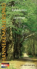
- Wandelgids Hannekemaaierspad: Bakkeveen - Lemmer | Hannekemaaierspad
- Achtergrond traject Bakkeveen - Lemmer Het traject van het Hannekemaaierspad in dit boekje loopt van Bakkeveen naar Lemmer. De route gaat langs enkele, soms bijna verlaten gebieden, waar grootschalig veen gewonnen is. De tocht gaat over de oude zandruggen, waar Bakkeveen en Heerenveen op liggen. Het riviertje de Tjonger/Kuinder vormde in het... Read more
Netherlands
2016
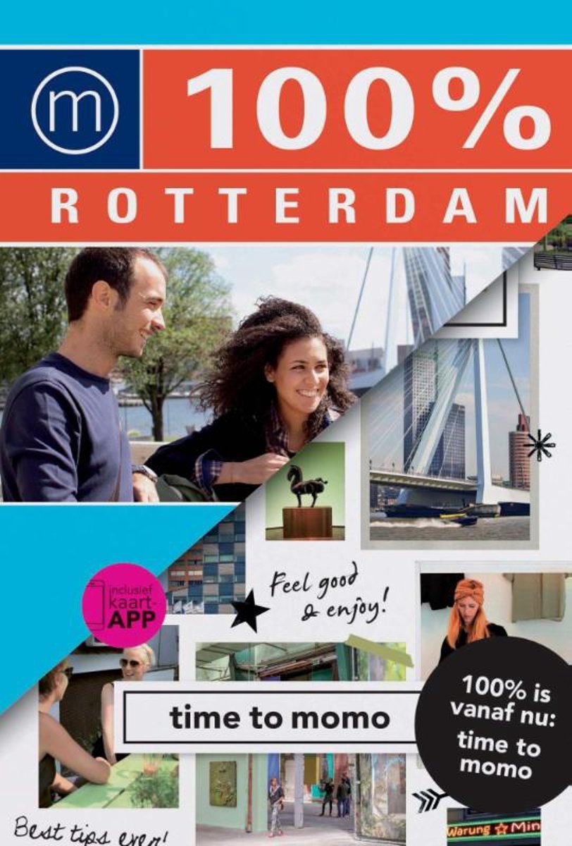
- time to momo - Rotterdam
- Dit is de vernieuwde versie van de 100% Rotterdam-gids! In de stoere havenstad Rotterdam geldt: what you see is what you get. Het wordt niet mooier gemaakt dan het is en er wordt niets opgeleukt voor toeristen. De metropool charmeert door zijn totaal eigen karakter en zijn nuchtere inwoners. Naast de iconen, zoals de Euromast en de... Read more
- Also available from:
- Bol.com, Belgium
Belgium
2016
- time to momo - Rotterdam
- Dit is de vernieuwde versie van de 100% Rotterdam-gids! In de stoere havenstad Rotterdam geldt: what you see is what you get. Het wordt niet mooier gemaakt dan het is en er wordt niets opgeleukt voor toeristen. De metropool charmeert door zijn totaal eigen karakter en zijn nuchtere inwoners. Naast de iconen, zoals de Euromast en de... Read more
Netherlands
2012
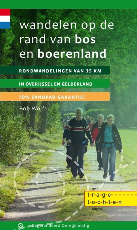
- Wandelgids Wandelen op de rand van bos en boerenland | Gegarandeerd Onregelmatig
- Veel mensen houden van het bos. Anderen voelen zich meer thuis in het open veld. Voorkeuren verschillen nu eenmaal. Maar het meest fascinerend is de combinatie van de openheid van het veld en de geborgenheid van het bos. Een akker die begrensd wordt door een fraaie bosrand in herfstkleuren of een doorkijkje vanaf een donker bospad naar een... Read more
Netherlands
2017
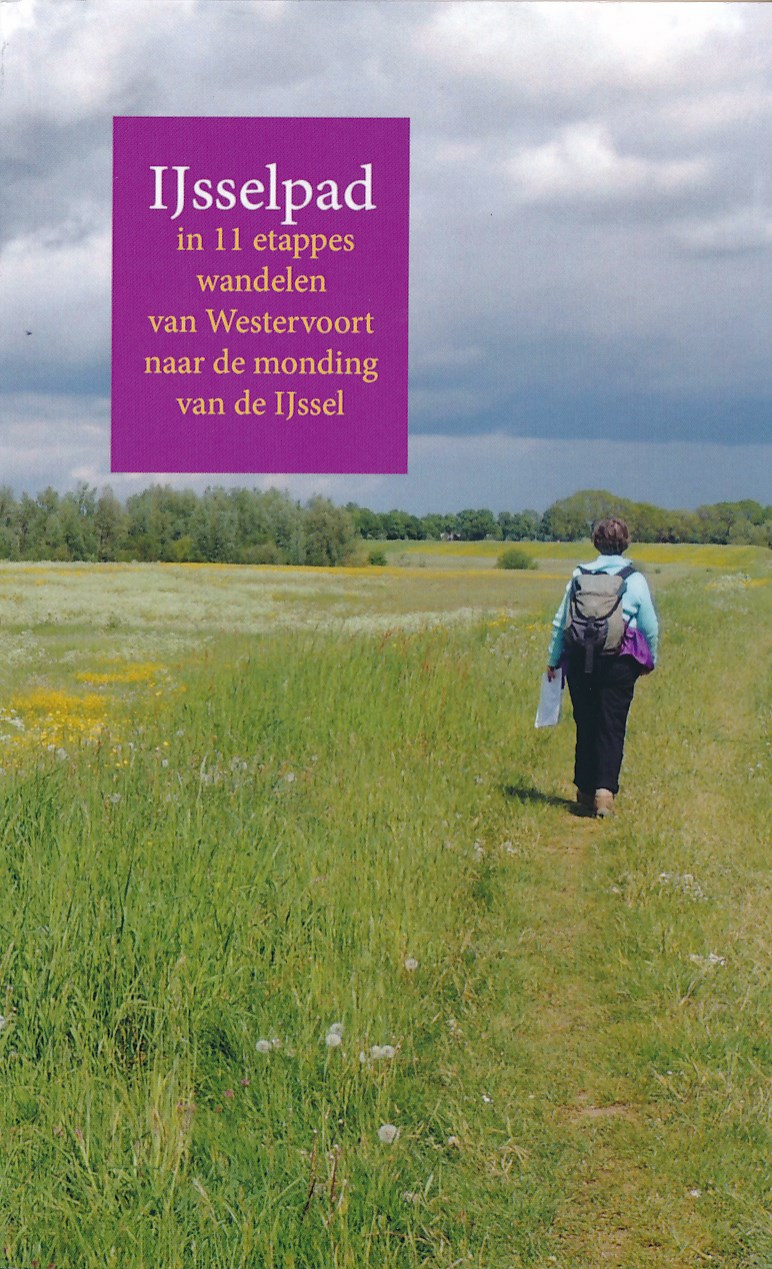
- Wandelgids IJsselpad | Anoda Publishing
- Een wandelgids van het IJsselpad. Deze route strekt zich uit over de hele lengte van de IJssel vanaf het splitsingspunt bij Westervoort tot aan het einde van de IJsselmonding voorbij Kampen. Langs de IJssel loopt een nieuwe wandelroute, het IJsselpad. Deze route strekt zich uit over de hele lengte van de IJssel vanaf het splitsingspunt bij... Read more
Netherlands
2010
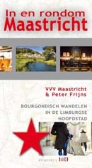
- Wandelgids In en Rondom Maastricht | Uitgeverij Tic
- In en rondom Maastricht zijn veel afwisselende wandelingen te maken. Het historisch centrum wordt bewandeld met een kroegentocht en de shoppingtour, maar ook kerken en kloosters en de vesting Maastricht komen uitgebreid aan de orde in dit wandelboek. In de directe omgeving van Maastricht wordt wijn gemaakt, liggen prachtige hellingbossen, zijn... Read more
Netherlands
2017
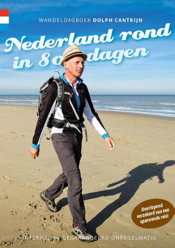
- Wandelgids Nederland rond in 80 dagen | Gegarandeerd Onregelmatig
- Kun je Nederland rondlopen in tachtig dagen? Of is het een fantasie, net als de reis om de wereld van Jules Verne? Dit wandeldagboek laat zien dat het kan. Trek je wandelschoenen aan en loop mee langs verlaten douanekantoren. Luister naar de smokkelverhalen in het grensgebied. Adem de zilte zeelucht in op de Hollandse stranden. Huiver bij de... Read more
Netherlands
2011
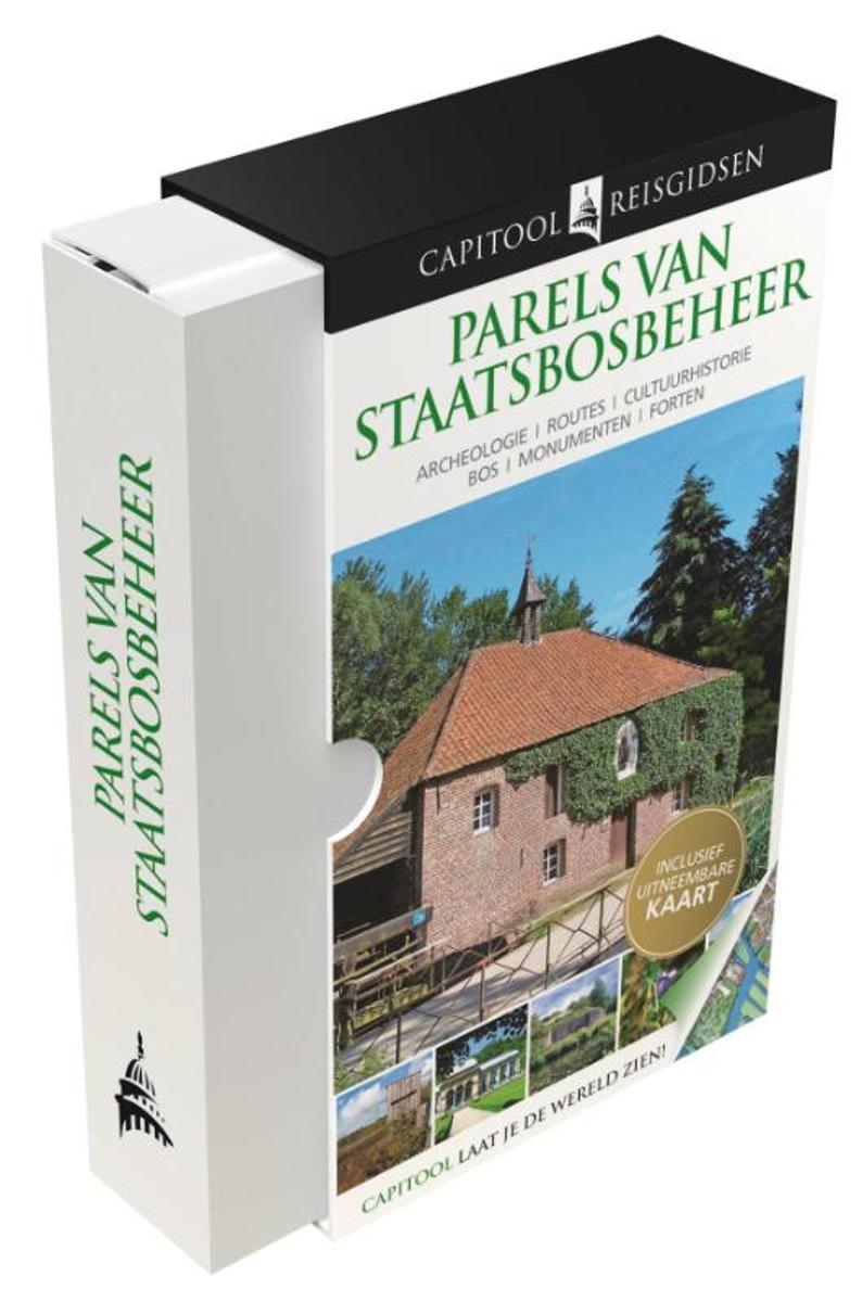
- Parels van Staatsbosbeheer
- Capitool is, met meer dan 100 titels, al jaren marktleider onder de reisgidsen. Door de combinatie van visuele uitbundigheid in de vorm van driedimensionale tekeningen van bezienswaardigheden en heel veel kleurenfoto's n praktische bruikbaarheid door middel van verhelderende kaarten en compacte teksten onderscheiden de Capitool Reisgidsen zich... Read more
- Also available from:
- Bol.com, Belgium
Belgium
2011
- Parels van Staatsbosbeheer
- Capitool is, met meer dan 100 titels, al jaren marktleider onder de reisgidsen. Door de combinatie van visuele uitbundigheid in de vorm van driedimensionale tekeningen van bezienswaardigheden en heel veel kleurenfoto's n praktische bruikbaarheid door middel van verhelderende kaarten en compacte teksten onderscheiden de Capitool Reisgidsen zich... Read more
Netherlands
2018
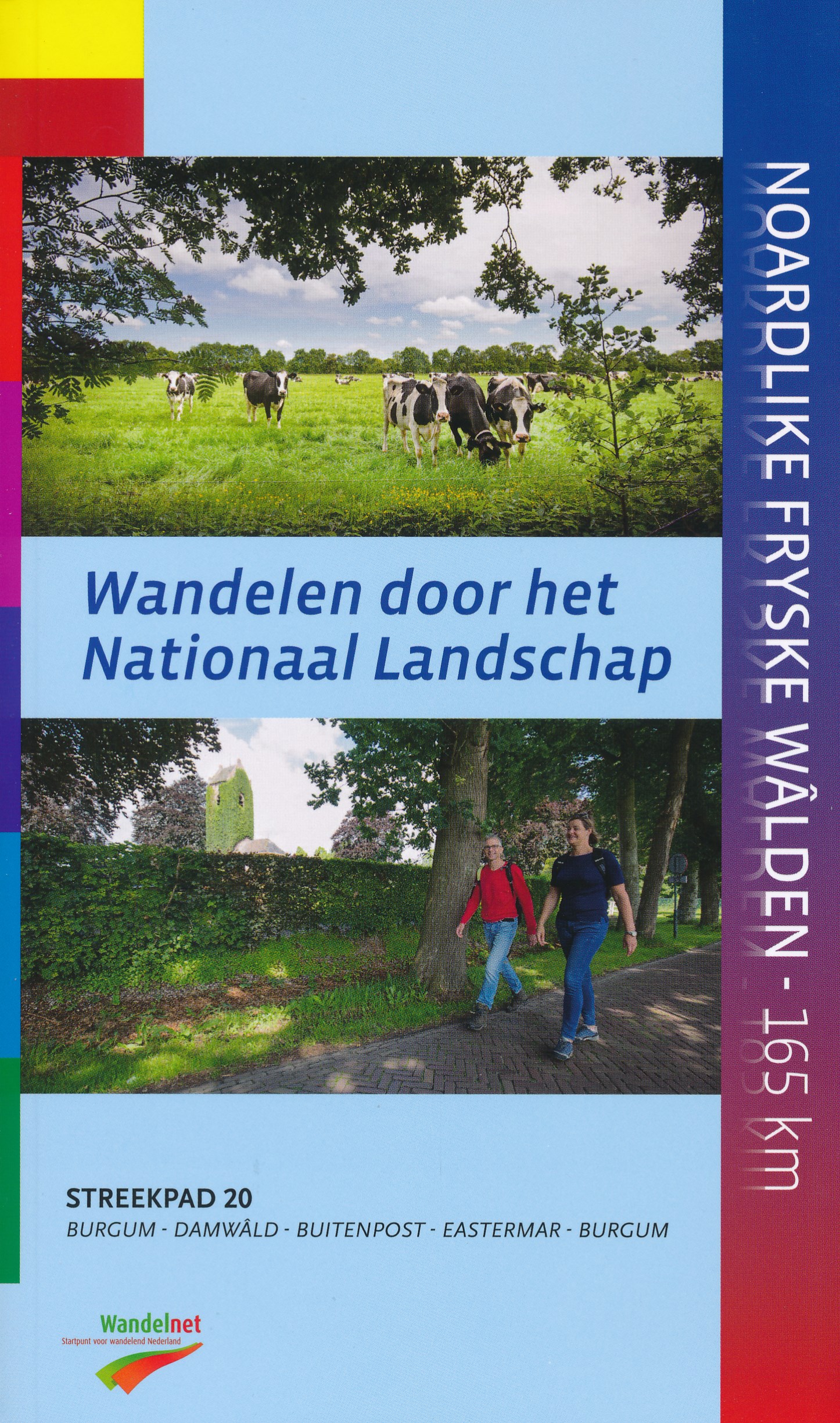
- Wandelgids S20 Streekpad Noardlike Fryske Walden | Wandelnet
- Als altijd weer een prachtig en helder uitgevoerde wandelgids met alle noodzakelijke informatie inclusief feiten als openbaar vervoer en accommodaties en andere nuttige adressen. Voorzien van de zeer goed leesbare opografische kaarten met schaal 1:25.000. Als je een buitenstaander vraagt wat kenmerkend is voor Friesland zal hij beslist een paar... Read more
- Also available from:
- Bol.com, Belgium
Netherlands
2008
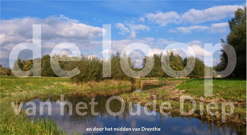
- Wandelgids De loop van van het Oude Diep | Het Drentse Landschap
- Tussen Beilen en Hoogeveen zoekt het Oude Diep door de groenlanden zijn weg vanaf het Drents plateau. Nog niet zo lang geleden was er van dit Drentse beekje niet veel meer over dan een rechte sloot door de aardappelvelden. De afgelopen jaren hebben overheden en natuurorganisaties alles op alles gezet voor het herstel van het Oude Diep. De Loop... Read more
Netherlands
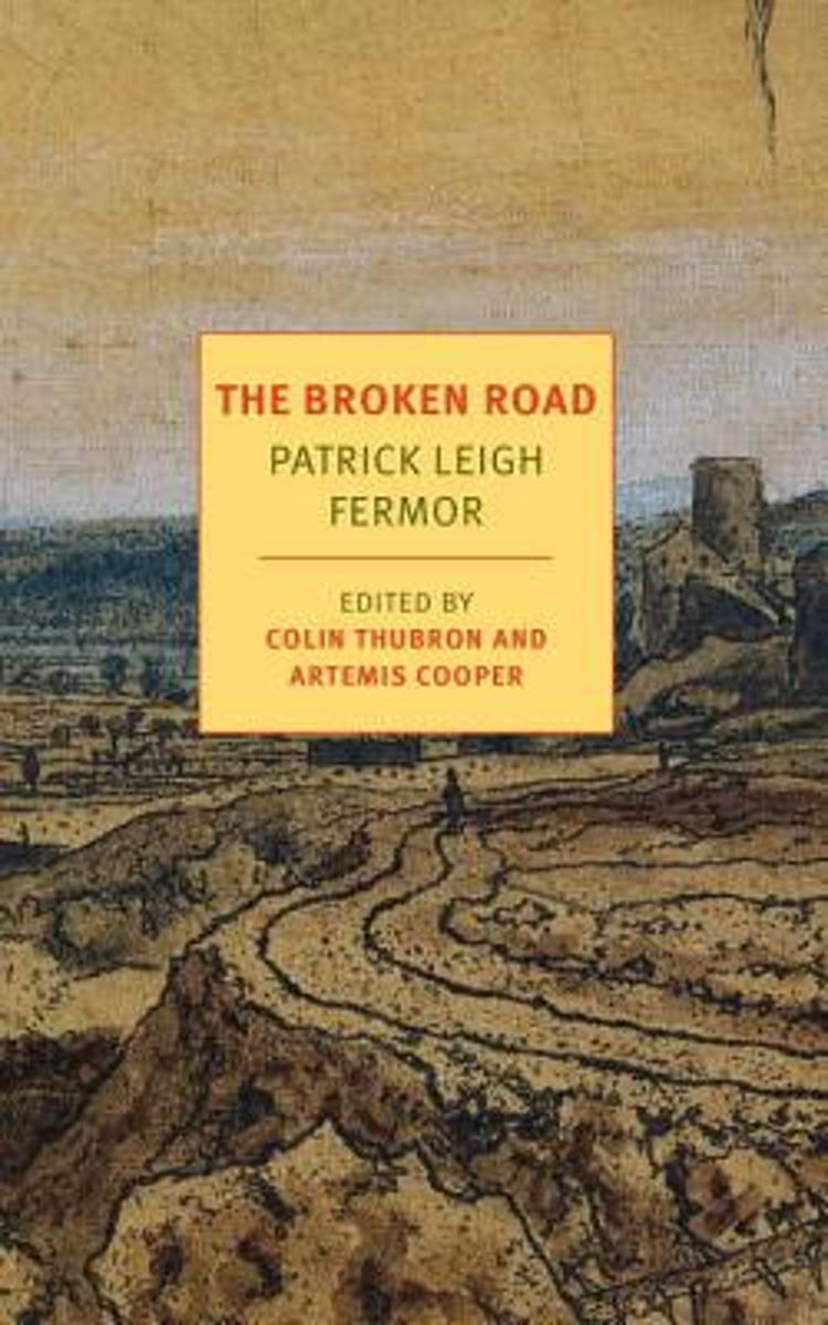
- The Broken Road
- The long-awaited final volume of the trilogy by Patrick Leigh Fermor. A Time of Gifts and Between the Woods and the Water were the first two volumes in a projected trilogy that would describe the walk that Patrick Leigh Fermor undertook at the age of eighteen from the Hook of Holland to Constantinople. 'When are you going to finish Vol. III?'... Read more
- Also available from:
- Bol.com, Belgium
Belgium
- The Broken Road
- The long-awaited final volume of the trilogy by Patrick Leigh Fermor. A Time of Gifts and Between the Woods and the Water were the first two volumes in a projected trilogy that would describe the walk that Patrick Leigh Fermor undertook at the age of eighteen from the Hook of Holland to Constantinople. 'When are you going to finish Vol. III?'... Read more
Netherlands
2022
Netherlands
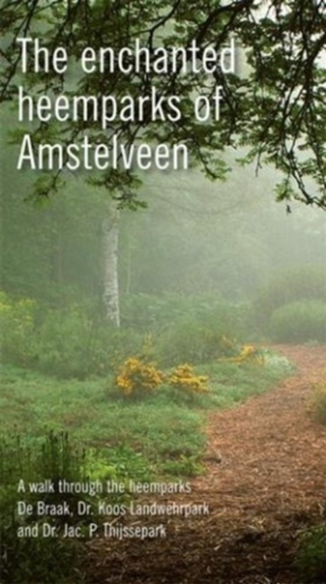
- The enchanted heemparks of Amstelveen
- Amstelveen s heemparks are islands of peace and wonder, where plants and herbs that are indigenous to the Netherlands are shown in enchanting compositions. Wander in a typical Dutch polder landscape with pollard willows and reed lands in De Braak; repose in the romantic garden rooms in the Dr. Jac P. Thijssepark, where rare varieties such as... Read more
- Also available from:
- Bol.com, Belgium
Belgium
- The enchanted heemparks of Amstelveen
- Amstelveen s heemparks are islands of peace and wonder, where plants and herbs that are indigenous to the Netherlands are shown in enchanting compositions. Wander in a typical Dutch polder landscape with pollard willows and reed lands in De Braak; repose in the romantic garden rooms in the Dr. Jac P. Thijssepark, where rare varieties such as... Read more
Maps

United Kingdom
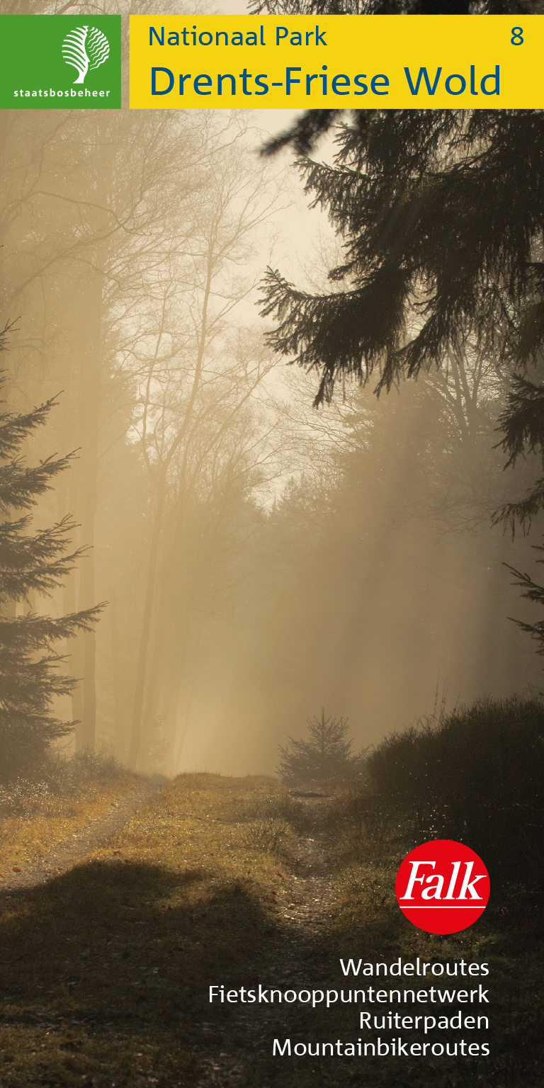
- Drents-Friese Wold
- Drents-Friese Wold area of the Netherlands in a series of walking and cycling maps at 1:25,000 – 1:35,000, published by Falk BV in cooperation with Staatsbosbeheer – Dutch government’s organization for forestry and the management of nature reserves.Colouring indicates different types of vegetation or terrain: woodland, pastures, heath or sand... Read more
- Also available from:
- De Zwerver, Netherlands
Netherlands
- Wandelkaart 08 Staatsbosbeheer Drents Friese Wold | Falk
- Drents-Friese Wold area of the Netherlands in a series of walking and cycling maps at 1:25,000 Read more
United Kingdom
- Meinweg - Leudal
- Meinweg - Leudal area of the Netherlands in a series of walking and cycling maps at 1:25,000 – 1:35,000, published by Falk BV in cooperation with Staatsbosbeheer – Dutch government’s organization for forestry and the management of nature reserves.Colouring indicates different types of vegetation or terrain: woodland, pastures, heath or sand... Read more

United Kingdom
- North Holland - with Kennemerland Falkplan Cycling Map 13
- North Holland Province of the Netherlands at 1:50,000 in a series from Falk B.V. showing the network of signposted cycling routes on large, double-sided indexed maps with prominent highlighting of long-distance LF routes, symbols indicating accommodation and other tourist services, plus in each title two or more panels with recommended local... Read more

United Kingdom
2021
- South-Holland South - Goeree-Overflakkee Falkplan Cycling Map 15
- The southern part of the South Holland Province of the Netherlands at 1:50,000 in a series from Falk B.V. showing the network of signposted cycling routes on large, double-sided indexed maps with prominent highlighting of long-distance LF routes, symbols indicating accommodation and other tourist services, plus in each title two or more panels... Read more
United Kingdom
- Drentsche A
- Drentsche A area of the Netherlands in a series of walking and cycling maps at 1:25,000 – 1:35,000, published by Falk BV in cooperation with Staatsbosbeheer – Dutch government’s organization for forestry and the management of nature reserves.Colouring indicates different types of vegetation or terrain: woodland, pastures, heath or sand dunes.... Read more

United Kingdom
2010
- Gelderse Valley
- Gelderse Valley on a waterproof, tear-resistant, GPS compatible walking map at 1:25,000 from Trage Paden, in a series of maps with extensive overprint for long-distance and local walking routes. GPS waypoints and route profiles are available for download from the publisher’s website.Contours used in this map series vary between 2,5 to 5m... Read more
United Kingdom
- Oostvaardersplassen
- Oostvaardersplassen area of the Netherlands in a series of walking and cycling maps at 1:25,000 – 1:35,000, published by Falk BV in cooperation with Staatsbosbeheer – Dutch government’s organization for forestry and the management of nature reserves.Colouring indicates different types of vegetation or terrain: woodland, pastures, heath or sand... Read more
United Kingdom
- Dunes of the Central Holland 22
- The Dunes of the Central Holland Province of the Netherlands in a series of walking and cycling maps at 1:25,000 – 1:35,000, published by Falk BV in cooperation with Staatsbosbeheer – Dutch government’s organization for forestry and the management of nature reserves.Colouring indicates different types of vegetation or terrain: woodland,... Read more

United Kingdom
- South-Holland North - Green Heart West and Bollenstreek Falkplan Cycling Map 14
- The northern part of the South Holland Province of the Netherlands at 1:50,000 in a series from Falk B.V. showing the network of signposted cycling routes on large, double-sided indexed maps with prominent highlighting of long-distance LF routes, symbols indicating accommodation and other tourist services, plus in each title two or more panels... Read more
United Kingdom
- Baronie van Breda
- Baronie van Breda area of the Netherlands in a series of walking and cycling maps at 1:25,000 – 1:35,000, published by Falk BV in cooperation with Staatsbosbeheer – Dutch government’s organization for forestry and the management of nature reserves.Colouring indicates different types of vegetation or terrain: woodland, pastures, heath or sand... Read more

United Kingdom
2010
- The IJssel
- The Ijssel is the first of a series two recreational maps for the Flevoland region.These maps were created to celebrate the 25th anniversary of the province of Flevoland. They are double-sided indexed maps at 1:50,000 scale, featuring a detailed topography with prominent highlighting of the cycle routes and packed with practical tourist... Read more
United Kingdom
- De Weerribben
- De Weerribben area of the Netherlands in a series of walking and cycling maps at 1:25,000 – 1:35,000, published by Falk BV in cooperation with Staatsbosbeheer – Dutch government’s organization for forestry and the management of nature reserves.Colouring indicates different types of vegetation or terrain: woodland, pastures, heath or sand dunes.... Read more
United Kingdom
- Lauwersmeer
- Lauwersmeer area Friesland in the Netherlands in a series of walking and cycling maps at 1:25,000 – 1:35,000, published by Falk BV in cooperation with Staatsbosbeheer – Dutch government’s organization for forestry and the management of nature reserves.Colouring indicates different types of vegetation or terrain: woodland, pastures, heath or... Read more
United Kingdom
2019
- Walcheren
- Walcheren area of the Netherlands in a series of walking and cycling maps at 1:25,000 – 1:35,000, published by Falk BV in cooperation with Staatsbosbeheer – Dutch government’s organization for forestry and the management of nature reserves.Colouring indicates different types of vegetation or terrain: woodland, pastures, heath or sand dunes.... Read more
- Also available from:
- De Zwerver, Netherlands
.jpg)
United Kingdom
- Netherlands Falkplan Cycling Atlas
- Cycling atlas of the Netherlands at 1:75,000 from Falk BV, presenting in one A5 spiral-bound volume the country’s extensive network of signposted cycling routes and junctions, including the long-distance LF trails and smaller local cycle paths. The network consists of numbered junctions joined by sign-posted connecting routes in either... Read more