
United States
Description
 Given the boundless diversity of trails and landscapes, the United States can safely be labelled the hiker's Walhalla. In the U.S. you can truly get lost in the expansive wilderness areas. Meetings with black bears, grizzly bears and vipers are common. Camping out in the wild is a rule rather than an exception. European hikers - thoroughly spoilt with B&B's, mountain huts and gites d'etappe - will be thrown back into reality here.
The U.S. is where the tradition of long distance hiking started. As main eye-catcher, the Appalachian Trail runs for over 2000 miles through 14 eastern states, and was laid out as early as 1937. In fact it was a major inspiration for the first British long distance trail, the Pennine Way. Many legendary thru-hikers have left their tracks on the slopes of the Appalachians.
The most important hiking trails in the U.S. received the status of "National Scenic Trail". There is also a category of so-called National Historic Trails, but these are not really hiking trails. Third are the National Recreational Trails, of which there are several thousand. Most of these measure only a couple of miles, although some continue for a hundred miles or more, and often hikers will share the trail with bikers and riders. And there is more. Countless long distance trails lack a national status, but are no less beautiful or important.
The National Scenic Trails (NST), "designation for protected areas in the United States that consist of trails of particular natural beauty", and the most important long distance hiking trails are the following (take note: the construction many trails is by no means completed. Over time, gaps are being closed, extensions are added, and long stretches exist on paper only):
- American Discovery Trail (6356 miles 10229 km)
- Appalachian Trail - the first, 1937 (2100 miles 3380 km) NST
- Arizona Trail (817 miles 1315 km) NST
- California Coastal Trail (1200 miles 1930 km)
- Continental Divide Trail (3100 miles, 4990 km) NST
- East Coast Greenway (2500 miles 4000 km)
- Florida Trail (1400 miles 2300 km) NST
- Great Eastern Trail (1600 miles 2575 km)
- Great Western Trail (3100 miles, 4990 km)
- Ice Age Trail (1000 miles 1600 km) NST
- Idaho Centennial Trail (1200 miles 1931 km)
- New England Trail (220 miles 354 km) NST
- North Country Trail (4600 miles 7400 km)
- Pacific Crest Trail (2638 miles 4240 km) NST
- Pacific Northwest Trail (1200 miles 1930 km) NST
- Potomac Heritage Trail (700 miles 1127 km) NST
This list covers already 34399 miles or 55360 km!
Longer hiking trails than the above do exist, but consist of shorter trails strung together. For instance the Eastern Continental Trail (5400 miles 8700 km) or the International Appalachian Trail, extending into Canada.
All trails differ widely in terms of landscape, terrain and demands made on the hiker. On the one extreme you will find spectacular and challenging trails like the Pacific Crest Trail, following the Eastern Sierras, Cascades and other mountain ranges from Mexico to Canada. If you're looking for something easier, try the Florida Trail. In urban areas you will find so-called "greenways", a green corridor. For the ultimate survival experience, get dropped in Alaska to find your own way home through the wilderness.
Hiking in the U.S. is not restricted to long distance trails. In the many National and State Parks or Forests you will generally find extensive networks of trails. National Parks do get crowded, so avoid visitors centres and roads and trek into the less accessible parts. Within many parks, separate and secluded wilderness areas exist where hikers are welcome, sometimes with permit. The lesser known National Forests, State Forests and BLM Lands are no less interesting, often larger and more quiet.
The choice of landscapes is unlimited, ranging from tropical rain forests in the Hawaii Volcanoes National Park and subtropical hiking in the Everglades National Park, to the prairies of the Badlands National Park and canyons in the Grand Canyon of Hells Canyon National Park.Some parks, notably the Bridger-Teton National Forest, the Nez Perce National Forest and the Wenatchee National Forest each have thousands of miles of trails. Alaska has the largest nationale park, Wrangell-St. Elias, about the size of Croatia (55.000 sq. Km) and the highest mountain, Mt. McKinley (20320 ft 6194 m).
The most beautiful (consequently the busiest) parks are:
- Yosemite National Park (California)
- Yellowstone National Park (Wyoming)
- Grand Teton National Park (Wyoming)
- Rocky Mountains National Park (Colorado)
- Glacier National Park (Montana)
- Olympic National Park (Washington)
- Sequoia & Kings Canyon National Park (California)
- Great Smoky Mountains National Park (North Carolina, Tennessee)
Map


Trails
- Allegheny TrailGPX
- American Discovery TrailGPX
- Appalachian TrailGPX
- Arizona TrailGPX
- Baker TrailGPX
- Batona TrailGPX
- Bay Area Ridge TrailGPX
- Bay Circuit TrailGPX
- Benton MacKaye TrailGPX
- Bigfoot Trail
- Black Hills Centennial Trail
- Bonneville Shoreline TrailGPX
- Buckeye TrailGPX
- California Coastal TrailGPX
- Chesapeake and Ohio Canal TrailGPX
- Chilkoot TrailGPX
- Cohos TrailGPX
- Colorado TrailGPX
- Continental Divide TrailGPX
- Cowboy Recreation and Nature Trail
- Cross Florida Greenway
- Cross Vermont Trail
- Cumberland TrailGPX
- East Coast GreenwayGPX
- Eastern Continental TrailGPX
- Erie CanalwayGPX
- Finger Lakes TrailGPX
- Florida TrailGPX
- Fremont National Recreation Trail
- General George Crook Trail
- George S. Mickelson Trail
- Grand Enchantment TrailGPX
- Great Allegheny PassageGPX
- Great Eastern TrailGPX
- Great Western TrailGPX
- Hennepin Canal Parkway
- Hiawatha Shore to Shore Trail
- Highlands TrailGPX
- Horse-Shoe TrailGPX
- Hudson Trail
- Ice Age TrailGPX
- Idaho Centennial TrailGPX
- International Appalachian TrailGPX
- Jenny Wiley Trail
- John Muir TrailGPX
- Katy TrailGPX
- Lake Ouachita Vista Trail
- Lone Star Hiking TrailGPX
- Long PathGPX
- Long TrailGPX
- Mason-Dixon TrailGPX
- Metacomet Monadnock TrailGPX
- Metolius-Windigo Trail
- Michigan Shore-to-Shore Trail
- Mid State Trail PennsylvaniaGPX
- Midstate Trail MassachusettsGPX
- Mokelumne Coast to Crest TrailGPX
- Mountains-to-Sea TrailGPX
- New England TrailGPX
- North Country TrailGPX
- Northville-Placid TrailGPX
- Oregon Coast TrailGPX
- Ouachita TrailGPX
- Ozark TrailGPX
- Pacific Crest TrailGPX
- Pacific Northwest TrailGPX
- Palmetto TrailGPX
- Pinhoti TrailGPX
- River to River TrailGPX
- San Diego Sea to Sea Trail
- Sierra High Route
- Superior Hiking TrailGPX
- Taconite State Trail
- Tahoe Rim TrailGPX
- Tahoe-Yosemite Trail
- Tuscarora TrailGPX
- Wonderland TrailGPX
Regions
- Adirondack Park
- Allegheny Mountains
- Allegheny National Forest
- Angeles National Forest
- Anza-Borrego Desert State Park
- Apache-Sitgreaves National Forest
- Apalachicola National Forest
- Appalachian Mountains
- Arapho National Forest
- Beaverhead National Forest
- Big Cypres National Preserve
- Bitterroot National Forest
- Black Hills National Forest
- Boise National Forest
- Bryce Canyon National Park
- Canyonlands National Park
- Cape Cod National Seashore
- Cape Hatteras National Seashore
- Cape Henlopen State Park
- Capitol Reef National Park
- Carson National Forest
- Catskill Park
- Challis National Forest
- Chattahoochee National Forest
- Chequamegon National Forest
- Cherokee National Forest
- Chesapeake and Ohio Canal National Historical Park
- Chihuahuan Desert
- Chippewa National Forest
- Chugach National Forest
- Cibola National Forest
- Clearwater National Forest
- Cleveland National Forest
- Coconino National Forest
- Coronado National Forest
- Crater Lake National Park
- Croatan National Forest
- Cumberland Mountains
- Cuyahoga Valley National Park
- Daniel Boone National Forest
- Death Valley National Park
- Deerlodge National Forest
- Denali National Park
- Deschutes National Forest
- Dixie National Forest
- Eldorado National Forest
- Everglades National Park
- Fishlake National Forest
- Flathead National Forest
- Frank Church-River of No Return Wilderness
- Fremont National Forest
- Gallatin National Forest
- Gates of the Arctic National Park
- George Washington National Forest
- Gifford Pinchot National Forest
- Gila National Forest
- Glacier Bay National Park
- Glacier National Park
- Gospel Hump Wilderness
- Grand Canyon National Park
- Great Basin National Park
- Great Smoky Mountains National Park
- Green Mountain National Forest
- Helena National Forest
- Hiawatha National Forest
- Hocking Hills
- Hoosier National Forest
- Humboldt National Forest
- Huron National Forest
- Inyo National Forest
- Jefferson National Forest
- Joshua Tree National Park
- Kaibab National Forest
- Kenai Fjords National Park
- Kenai National Wildlife Refuge
- King Range National Conservation Area
- Kings Canyon National Park
- Klamath Mountains
- Klondike Gold Rush National Historical Park
- Lassen National Forest
- Lassen Volcanic National Park
- Los Padres National Forest
- Manistee National Forest
- Manti-LaSal National Forest
- Mark Twain National Forest
- Monongahela National Forest
- Mount Baker National Forest
- Mount Hood National Forest
- Mount Rainier National Park
- Nantahala National Forest
- Nez Perce National Forest
- Ocala National Forest
- Okanogan National Forest
- Olympic National Park
- Osceola National Forest
- Ottawa National Forest
- Ouachita National Forest
- Payette National Forest
- Pike National Forest
- Pisgah National Forest
- Plumas National Forest
- Point Reyes National Seashore
- Redwood National Park
- Rio Grande National Forest
- Rogue River National Forest
- Salmon National Forest
- Sam Houston National Forest
- San Bernardino National Forest
- San Isabel National Forest
- San Juan National Forest
- San Pedro Parks Wilderness
- Sawtooth National Forest
- Selway-Bitterroot Wilderness
- Sequoia and Kings Canyon National Parks
- Sequoia National Forest
- Shasta-Trinity National Forest
- Shawnee National Forest
- Shenendoah National Park
- Sierra National Forest
- Siskiyou National Forest
- Siuslaw National Forest
- Snoqualmine National Forest
- Sonoran Desert
- Stanislaus National Forest
- Superior National Forest
- Tahoe National Forest
- Targhee National Forest
- Teton National Forest
- Tonto National Forest
- Tyoabee National Forest
- Umpque National Forest
- Utah National Forest
- Wasatch-Cache National Forest
- Wayne National Forest
- White Mountain National Forest
- White River National Forest
- Willamette National Forest
- Wind Cave National Park
- Wrangell-St.Elias National Park
- Yellowstone National Park
- Yosemite National Park
- Zion National Park
States
- Alabama
- Alaska
- Arizona
- Arkansas
- California
- Colorado
- Connecticut
- Delaware
- Florida
- Georgia
- Hawaii
- Idaho
- Illinois
- Indiana
- Iowa
- Kansas
- Kentucky
- Louisiana
- Maine
- Maryland
- Massachusetts
- Michigan
- Minnesota
- Mississippi
- Missouri
- Montana
- Nebraska
- Nevada
- New Hampshire
- New Jersey
- New Mexico
- New York
- North Carolina
- North Dakota
- Ohio
- Oklahoma
- Oregon
- Pennsylvania
- Rhode Island
- South Carolina
- South Dakota
- Tennessee
- Texas
- Utah
- Vermont
- Virginia
- Washington
- West Virginia
- Wisconsin
- Wyoming
Mountains


Links
Facts
Reports
Guides and maps
Lodging
Organisations
Tour operators
GPS
Other
Books
United Kingdom
- Conversations Across Our America
- In the summer of 2007, Louis G. Mendoza set off on a bicycle trip across the United States with the intention of conducting a series of interviews along the way. Wanting to move beyond the media`s limited portrayal of immigration as a conflict between newcomers and ”citizens,” he began speaking with people from all walks of life about their... Read more

United Kingdom
- Simple Gestures
- The Greater Middle East poses major challenges for the United States. Yet despite decades of intense involvement in Middle Eastern affairs, most Americans still know little about the cultures of the region. ”Simple Gestures” describes one American`s efforts over forty years to better understand the society in the countries where she lived and... Read more

United Kingdom
- Hut to Hut USA
- The Complete Guide for Hikers, Bikers, and Skiers Read more

United Kingdom
2021
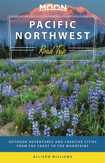
- Moon Pacific Northwest Road Trip (Third Edition)
- Outdoor Adventures and Creative Cities from the Coast to the Mountains Read more
- Also available from:
- De Zwerver, Netherlands
Netherlands
2021
- Reisgids Road Trip USA Pacific Northwest | Moon Travel Guides
- Outdoor Adventures and Creative Cities from the Coast to the Mountains Read more

United Kingdom
- The Parklands
- Trails and Secrets from the National Parks of the United States Read more

United Kingdom
2022
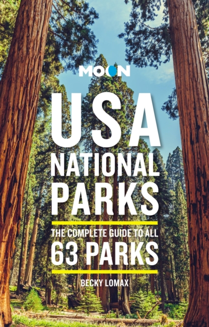
- Moon USA National Parks (Third Edition)
- The Complete Guide to All 63 Parks Read more
- Also available from:
- De Zwerver, Netherlands
Netherlands
2022
- Reisgids USA National Parks | Moon Travel Guides
- The Complete Guide to All 63 Parks Read more

Netherlands
2016
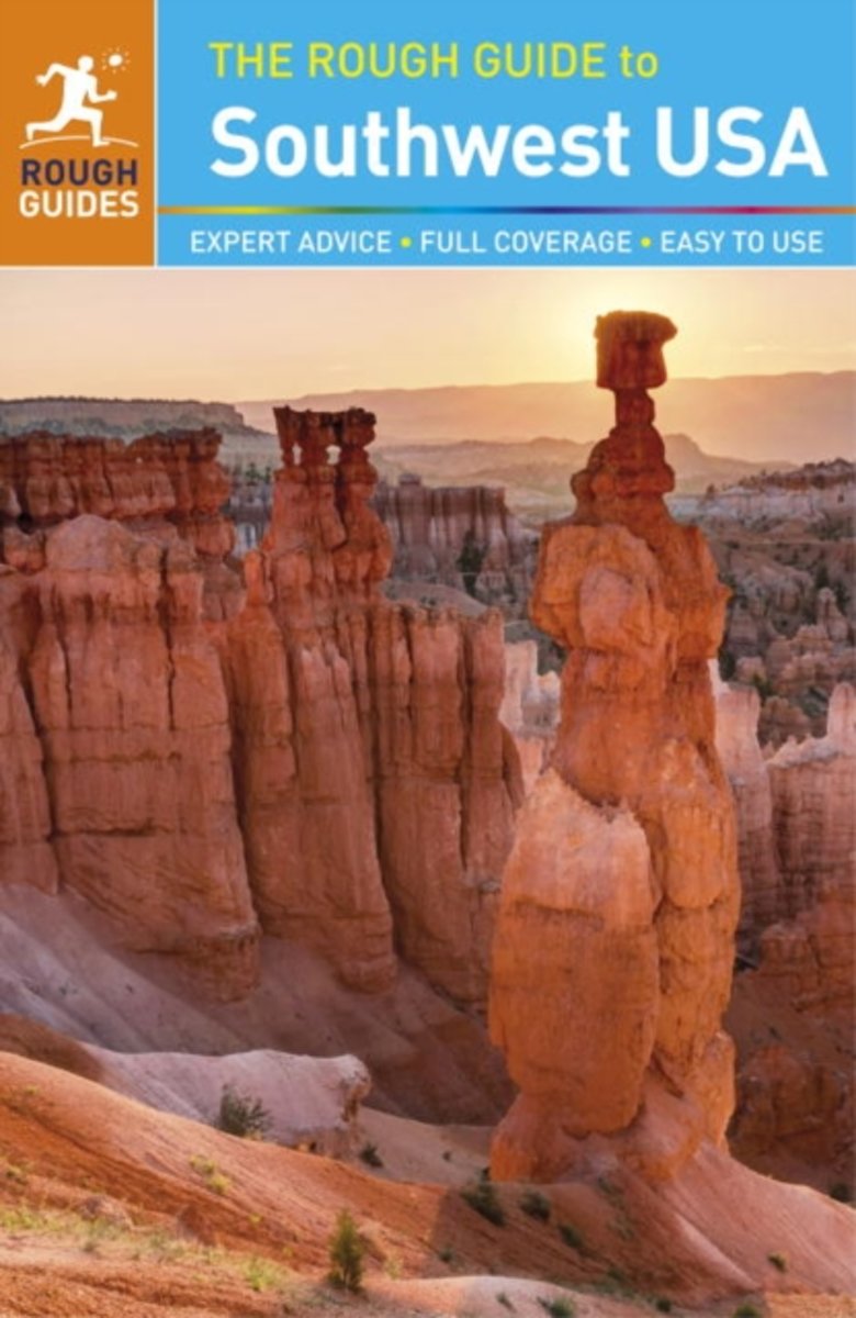
- Rough Guide - Southwest USA
- The Rough Guide to Southwest USA is the definitive guidebook to the fabled desert wildernesses of the Wild West.In addition to step-by-step hiking and driving guides to spectacular national parks like Zion, Bryce, and the Grand Canyon, The Rough Guide to Southwest USA provides full coverage of the region's Native American heritage, from the... Read more
- Also available from:
- Bol.com, Belgium
Belgium
2016
- Rough Guide - Southwest USA
- The Rough Guide to Southwest USA is the definitive guidebook to the fabled desert wildernesses of the Wild West.In addition to step-by-step hiking and driving guides to spectacular national parks like Zion, Bryce, and the Grand Canyon, The Rough Guide to Southwest USA provides full coverage of the region's Native American heritage, from the... Read more
Netherlands
2018
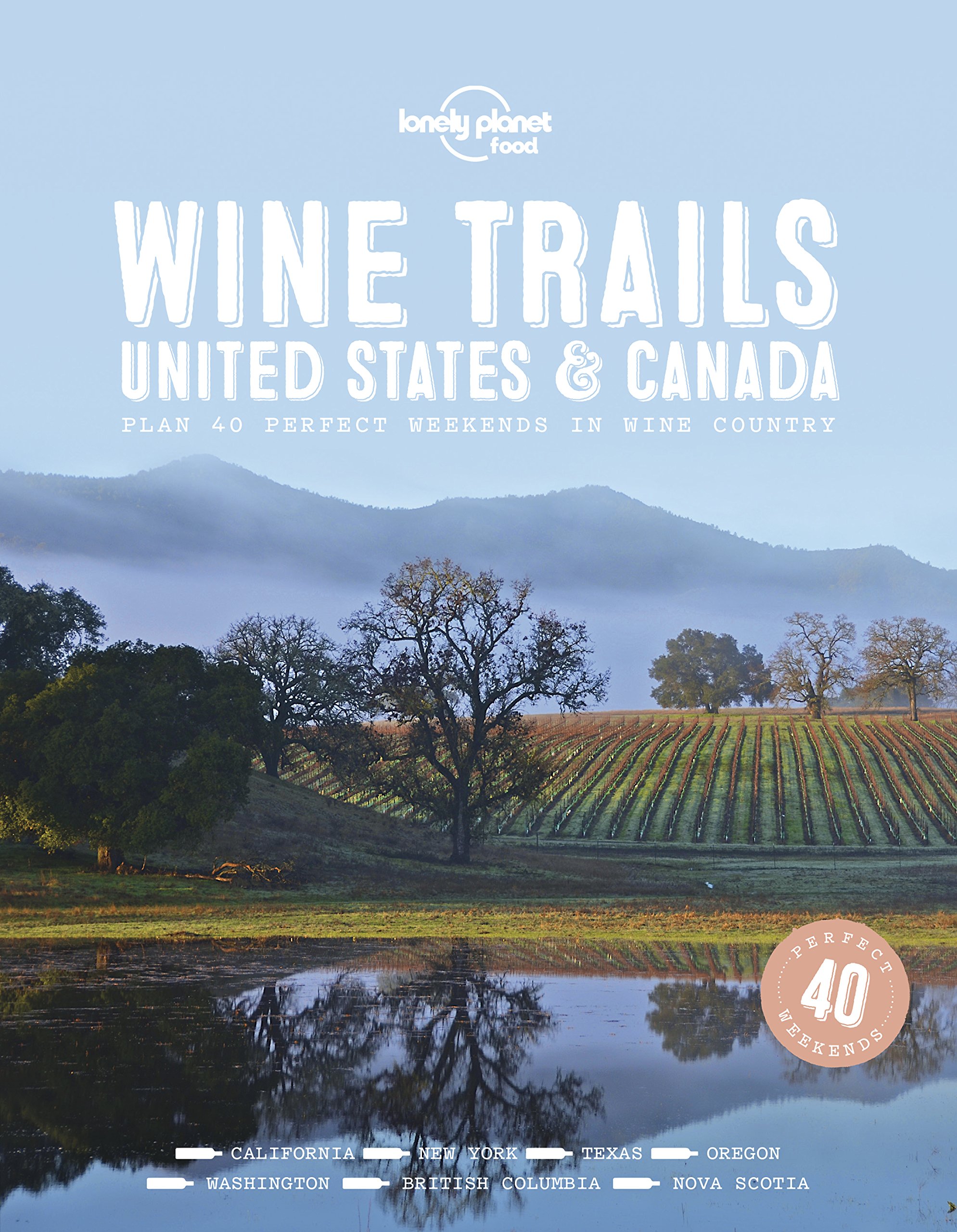
- Reisgids Wine Trails - USA and Canada | Lonely Planet
- Following the success of Wine Trails , we now bring you 40 perfect weekends in North American wine country, introducing vineyards in regions including Sonoma, Walla Walla, Finger Lakes, Texas Hill Country and Okanagan, as well as celebrating secret gems off the beaten path. Wine Trails - United States and Canada is perfect for travel... Read more

Netherlands
- My Backpack and I
- I was 26. I'd never left the United States. I quit my job. I slept on the floors of strangers, took an eighty mile hike with no preparation, joined the mile-long club, and got pissed on...twice. If you've ever felt like leaving your world behind, well, this is what happened to me. Read more
- Also available from:
- Bol.com, Belgium
Belgium
- My Backpack and I
- I was 26. I'd never left the United States. I quit my job. I slept on the floors of strangers, took an eighty mile hike with no preparation, joined the mile-long club, and got pissed on...twice. If you've ever felt like leaving your world behind, well, this is what happened to me. Read more

United Kingdom
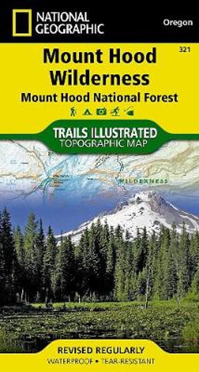
- Mount Hood Wilderness OR NGS Trails Illustrated Map 321
- Map No. 321, Mount Hood Wilderness in Oregon, in an extensive series of GPS compatible, contoured hiking maps of USA’s national and state parks or forests and other popular recreational areas. Cartography based on the national topographic survey, with additional tourist information.The maps, with most titles now printed on light, waterproof and... Read more
- Also available from:
- Bol.com, Netherlands
- Bol.com, Belgium
Netherlands
- Mount Hood Wilderness
- Waterproof Tear-Resistant Topographic MapNational Geographic's Trails Illustrated map of Mount Hood Wilderness is a two-sided, waterproof map designed to meet the needs of outdoor enthusiasts with unmatched durability and detail. This map was created in conjunction with local land management agencies and is loaded with valuable recreation... Read more
Belgium
- Mount Hood Wilderness
- Waterproof Tear-Resistant Topographic MapNational Geographic's Trails Illustrated map of Mount Hood Wilderness is a two-sided, waterproof map designed to meet the needs of outdoor enthusiasts with unmatched durability and detail. This map was created in conjunction with local land management agencies and is loaded with valuable recreation... Read more
Netherlands
- Camp and Trail Methods
- From early boyhood Elmer H. Kreps took a great interest in hunting and trapping. As he grew older he visited various parts of the United States and Canada, and being a keen observer, picked up a vast amount of information about life in the woods and fields. Kreps wrote dozens of articles on various subjects connected with hunting and trapping... Read more
- Also available from:
- Bol.com, Belgium
Belgium
- Camp and Trail Methods
- From early boyhood Elmer H. Kreps took a great interest in hunting and trapping. As he grew older he visited various parts of the United States and Canada, and being a keen observer, picked up a vast amount of information about life in the woods and fields. Kreps wrote dozens of articles on various subjects connected with hunting and trapping... Read more

Netherlands
- Fit Made Easy
- Fit Made Easy, ("Catch 22" Sewing, Tailoring, Alterations, & Fitting Secrets Revealed©) sewing book is filled with sewing and fitting guidelines, gathered from our 20 years experience in fashion design, wardrobe for television, pattern making, and sewing. By following the simple principles contained in this book, you will learn the secrets and... Read more
- Also available from:
- Bol.com, Belgium
Belgium
- Fit Made Easy
- Fit Made Easy, ("Catch 22" Sewing, Tailoring, Alterations, & Fitting Secrets Revealed©) sewing book is filled with sewing and fitting guidelines, gathered from our 20 years experience in fashion design, wardrobe for television, pattern making, and sewing. By following the simple principles contained in this book, you will learn the secrets and... Read more

Netherlands
- Catch Your Dog Doing Something Right
- Solving dog behavior problems has never been easier or more fun-yes, fun. A unique work that moves beyond training dogs to teaching them and developing a human-dog bond that really works. -Library Journal Gives dog lovers a clear view into the minds of their canine pals, and shows how to correct behavioral problems in a loving, caring way.... Read more
- Also available from:
- Bol.com, Belgium
Belgium
- Catch Your Dog Doing Something Right
- Solving dog behavior problems has never been easier or more fun-yes, fun. A unique work that moves beyond training dogs to teaching them and developing a human-dog bond that really works. -Library Journal Gives dog lovers a clear view into the minds of their canine pals, and shows how to correct behavioral problems in a loving, caring way.... Read more

Netherlands
- The United States of Toyota
- The United States of Toyota is many stories in one. First and foremost, it is a business story, detailing the decline of the American automobile industry - and the simultaneous rise of an Asian manufacturer to take its place. It is also a history book, providing an intimate portrait of the larger-than-life personalities and cars that led the... Read more
- Also available from:
- Bol.com, Belgium
Belgium
- The United States of Toyota
- The United States of Toyota is many stories in one. First and foremost, it is a business story, detailing the decline of the American automobile industry - and the simultaneous rise of an Asian manufacturer to take its place. It is also a history book, providing an intimate portrait of the larger-than-life personalities and cars that led the... Read more
Maps


United Kingdom
- Los Angeles Borch
- Laminated and waterproof map for visitors to Los Angeles, combining a selection of street plans and a road map to cover the LA conurbation as a whole plus its most visited parts in greater detail. An overview street plan of the city at 1:60,000 extends from Santa Monica and the International Airport inland to Pasadena and San Gabriel, naming... Read more

United Kingdom
- World & Flags Hema Political Pacific-Centred
- The world at 1:40,850,000 presented with Pacific Ocean in the centre on a double-sided folded map from the Australian publishers Hema; political version on one side and a physical map on the reverse. Each side shows the land masses against the background of light blue oceans with bathymetric tints to reflect the depth of the ocean floor. Polar... Read more

Netherlands
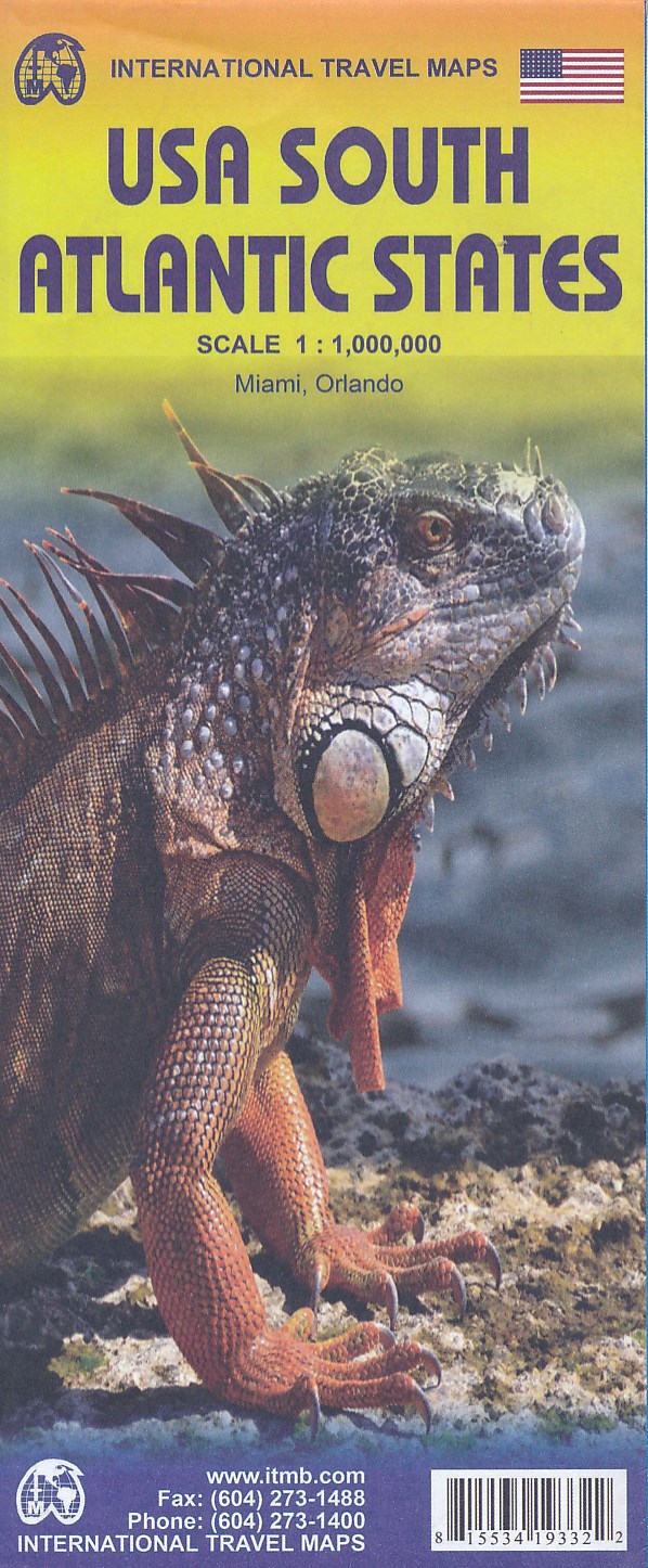
- Wegenkaart - landkaart USA South - Atlantic States | ITMB
- USA South Atlantic States 1 : 1 000 000 ab 8.99 EURO International Travel Map ITM. 1st edition. Read more

United Kingdom
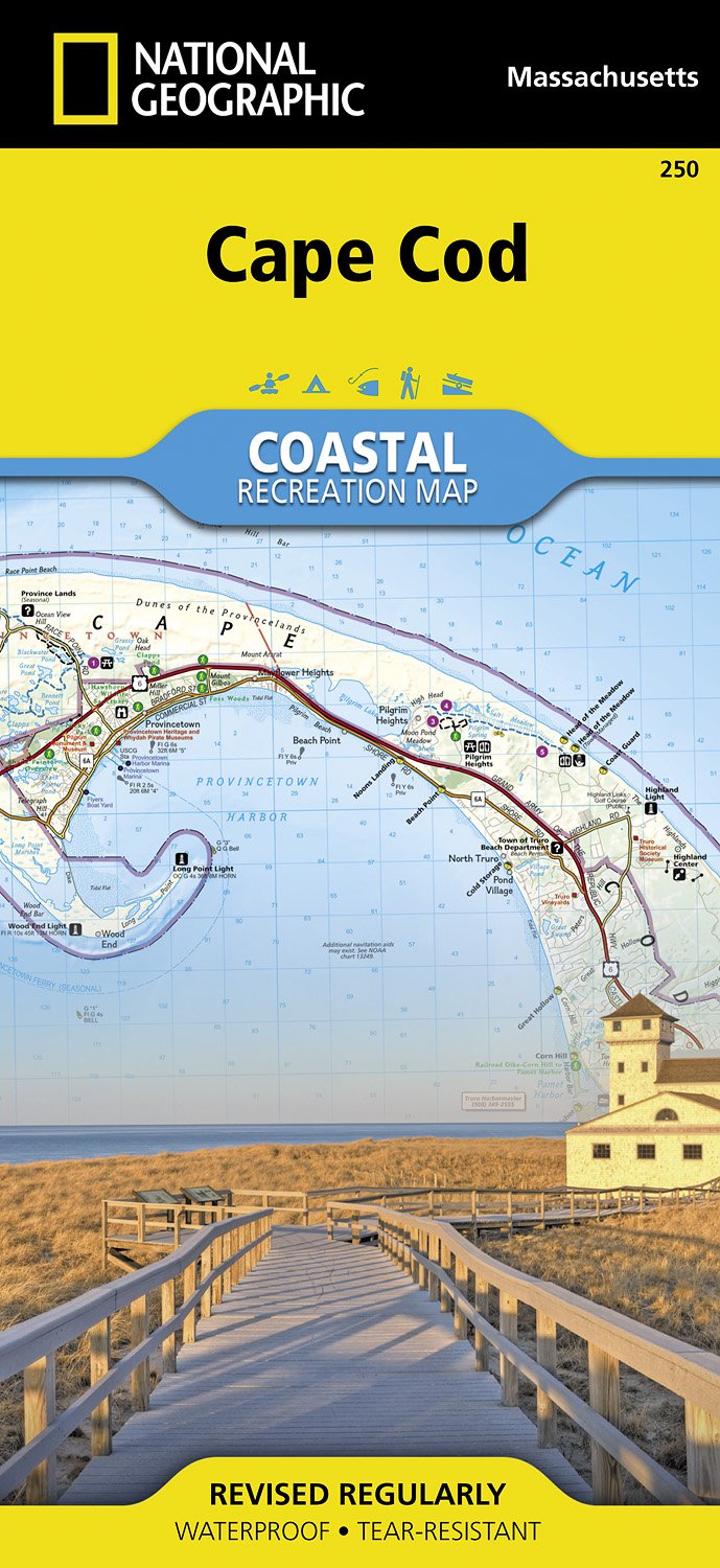
- Cape Cod National Seashore MA NGS Trails Illustrated Map 250
- Map No. 250, Cape Cod National Seashore, MA, in an extensive series of GPS compatible, contoured hiking maps of USA’s national and state parks or forests and other popular recreational areas. Cartography based on the national topographic survey, with additional tourist information.The maps, with most titles now printed on light, waterproof and... Read more
- Also available from:
- The Book Depository, United Kingdom
- Bol.com, Netherlands
- Bol.com, Belgium
- De Zwerver, Netherlands


Netherlands
- Cape Cod
- Waterproof Tear-Resistant Topographic MapNational Geographic's Cape Cod Coastal Recreation map is the ideal companion for adventures along shore and on the water.National Geographic's new family of Coastal Recreation maps are two-sided, waterproof maps designed specifically for recreation along America's most beautiful shorelines. These... Read more
Belgium
- Cape Cod
- Waterproof Tear-Resistant Topographic MapNational Geographic's Cape Cod Coastal Recreation map is the ideal companion for adventures along shore and on the water.National Geographic's new family of Coastal Recreation maps are two-sided, waterproof maps designed specifically for recreation along America's most beautiful shorelines. These... Read more
Netherlands
- Wandelkaart - Topografische kaart 250 Cape Cod | National Geographic
- Prachtige geplastificeerde topografische wandel- en vaarkaart van het Cape Cod kustgebied. Met alle recreatieve voorzieningen als campsites, stranden, en watersport maar ook met topografische details en wandelroutes ed. Door uitgekiend kleurgebruik zeer prettig in gebruik. Scheur en watervast! National Geographic's Cape Cod Coastal... Read more

Netherlands
Netherlands
2017

United Kingdom
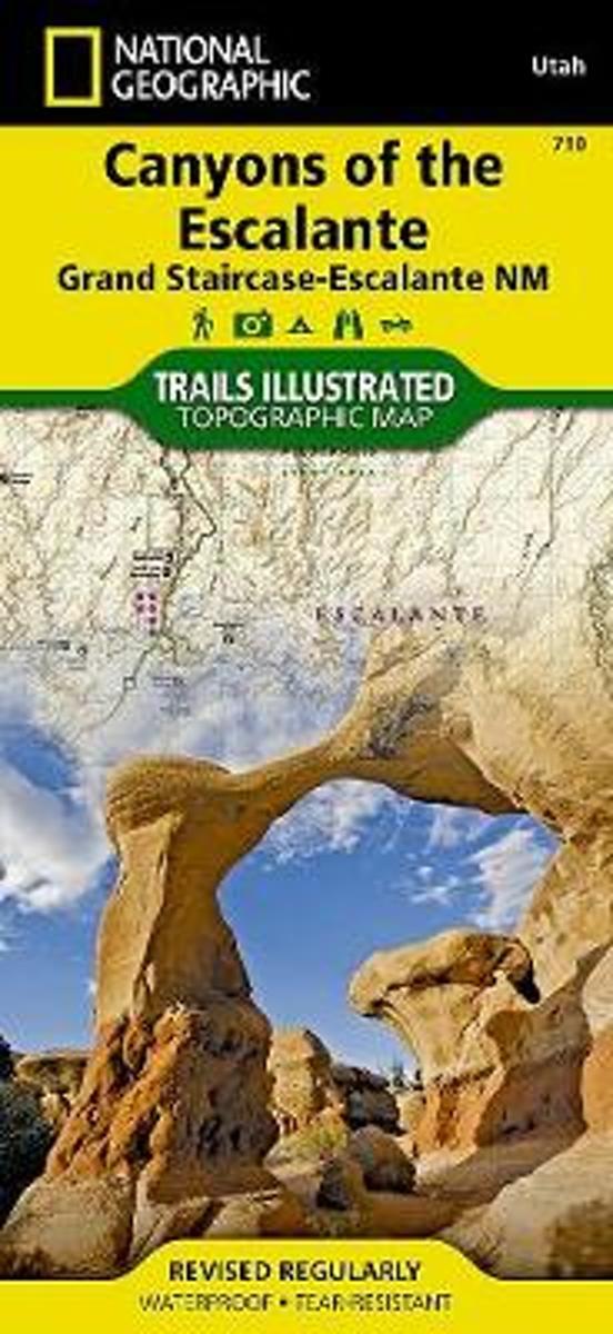
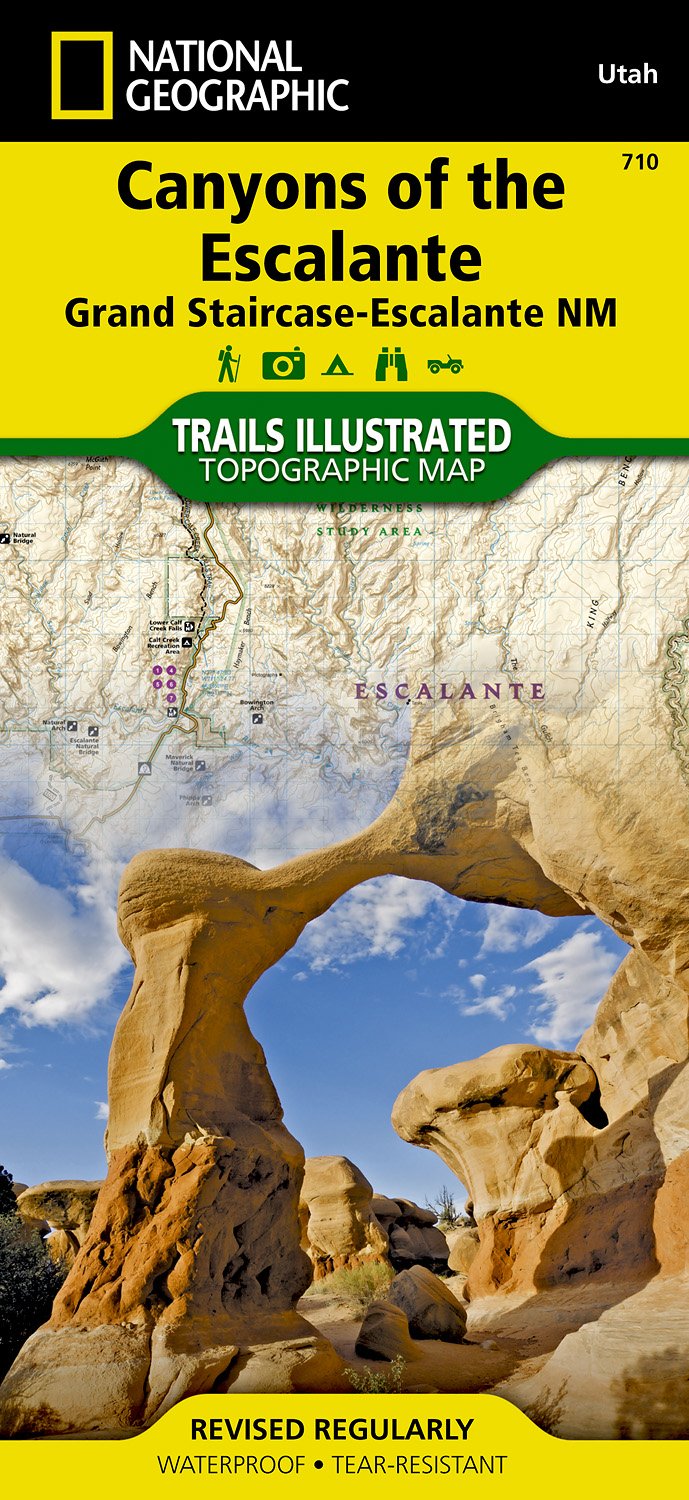
- Canyons of the Escalante UT
- Map No. 710, Canyons of the Escalante, UT, in an extensive series of GPS compatible, contoured hiking maps of USA’s national and state parks or forests and other popular recreational areas. Cartography based on the national topographic survey, with additional tourist information.The maps, with most titles now printed on light, waterproof and... Read more
- Also available from:
- Bol.com, Netherlands
- Bol.com, Belgium
- De Zwerver, Netherlands
Netherlands
- Canyons Of The Escalante
- Waterproof Tear-Resistant Topographic MapAt over 1.7 million acres, Grand Staircase-Escalante National Monument encompasses the largest land area of all national monuments in the United States. National Geographic's Trails Illustrated map of Canyons of the Escalante delivers unmatched detail and valuable information to assist you in your... Read more
Belgium
- Canyons Of The Escalante
- Waterproof Tear-Resistant Topographic MapAt over 1.7 million acres, Grand Staircase-Escalante National Monument encompasses the largest land area of all national monuments in the United States. National Geographic's Trails Illustrated map of Canyons of the Escalante delivers unmatched detail and valuable information to assist you in your... Read more
Netherlands
- Wandelkaart - Topografische kaart 710 Canyons of the Escalante - Grand Staircase-Escalante National Monument | National Geographic
- Prachtige geplastificeerde kaart van het bekende nationaal park. Met alle recreatieve voorzieningen als campsites, maar ook met topografische details en wandelroutes ed. Door uitgekiend kleurgebruik zeer prettig in gebruik. Scheur en watervast! Coverage includes BLM - Escalante Resource Area, Dixie National Forest, Glen Canyon National... Read more
Netherlands
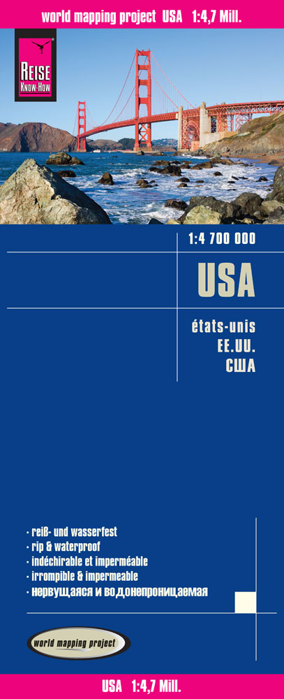
- Wegenkaart - landkaart USA - Verenigde Staten | Reise Know-How Verlag
- Reise Know-How Landkarte USA 1 : 4.700.000 ab 9.95 EURO Reiß- und wasserfest World Mapping Project Reise Know-How. 1. Auflage 2015 Read more

United Kingdom
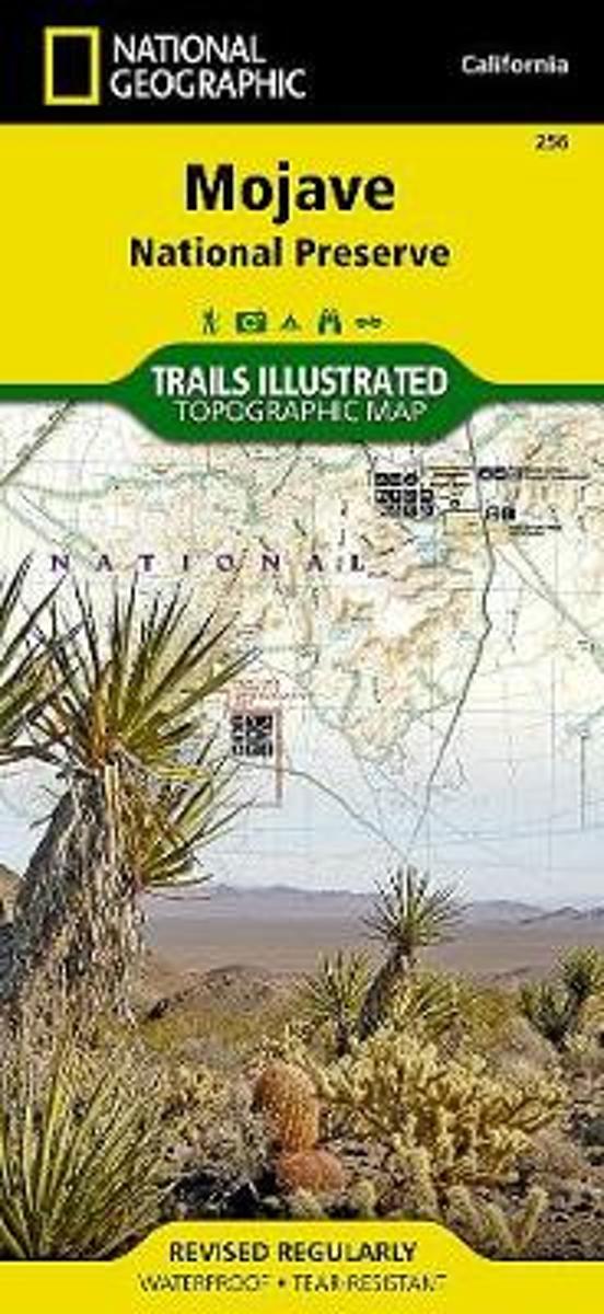
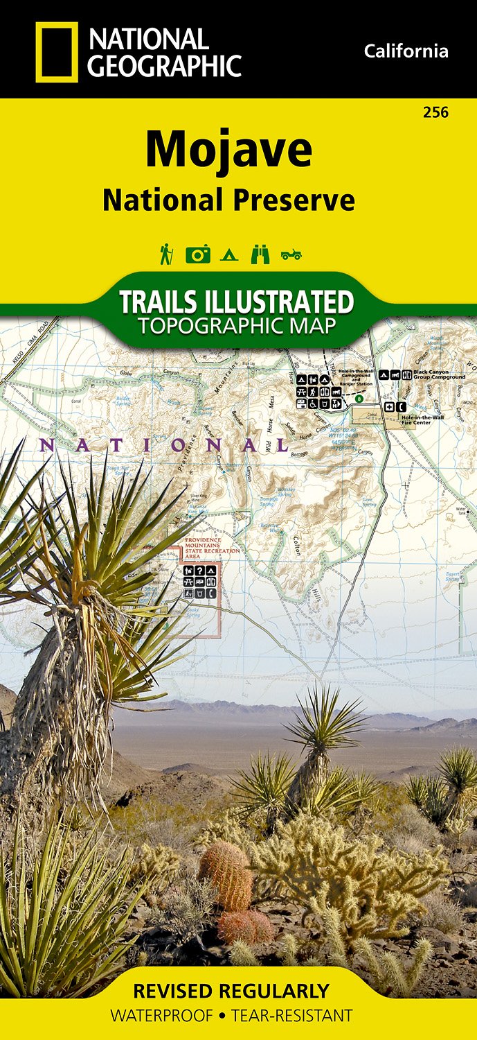
- Mojave National Preserve CA NGS Trails Illustrated Map 256
- Map No. 256, Mojave National Preserve, CA, in an extensive series of GPS compatible, contoured hiking maps of USA’s national and state parks or forests and other popular recreational areas. Cartography based on the national topographic survey, with additional tourist information.The maps, with most titles now printed on light, waterproof and... Read more
- Also available from:
- The Book Depository, United Kingdom
- Bol.com, Netherlands
- Bol.com, Belgium
- De Zwerver, Netherlands

United Kingdom
- Mojave National Preserve
- Trails Illustrated National Parks Read more
Netherlands
- Mojave National Preserve
- Trails are classified by use - hiking, horse and hike, mountain bike, shared use, or motorized - and includes a trail chart showing trail name, location, and allowed use. Read more
Belgium
- Mojave National Preserve
- Trails are classified by use - hiking, horse and hike, mountain bike, shared use, or motorized - and includes a trail chart showing trail name, location, and allowed use. Read more
Netherlands
- Wandelkaart - Topografische kaart 256 Mojave National Preserve | National Geographic
- Prachtige geplastificeerde kaart van het nationaal park. Met alle recreatieve voorzieningen als campsites, maar ook met topografische details en wandelroutes ed. Door uitgekiend kleurgebruik zeer prettig in gebruik. Scheur en watervast! This beautiful waterproof and tear-resistant map of the Mojave National Preserve is useful for all types of... Read more
Netherlands
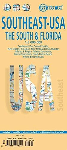
- Wegenkaart - landkaart Zuidoost USA - Southeast USA | Borch
- Southeast-USA The South and Florida 1 : 3 000 000. Road Map + City Maps ab 9.9 EURO Southeast-USA, Central Florida, New Orleans & Region, New Orleans French Quarter, Atlanta & Region, Atlanta Downtown, Miami Downtown, South Miami Beach, Miami & Florida Keys Borch Maps. 14. Auflage Read more
Netherlands
2017